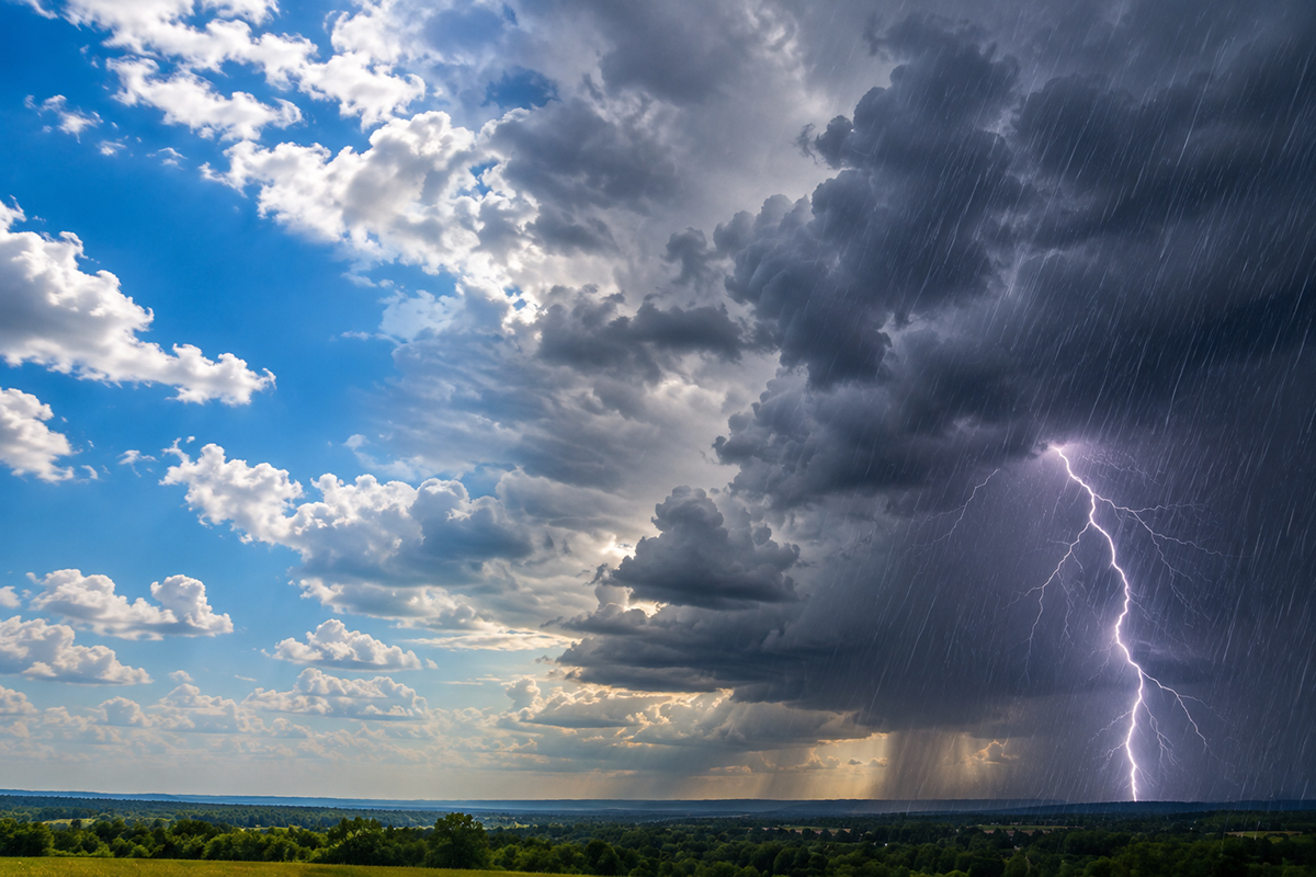
Clarksville residents should prepare for a week of temperature swings, starting with heavy morning frost and ending with a sharp drop toward freezing temperatures.
According to a report from Clarksville Online, the region will see a stretch of sunshine and mild afternoon highs before a weather system introduces rain and a noticeable cooldown.
The immediate forecast focuses on chilly starts for early commuters. Sunday and Monday will both feature morning fog before 9:00 a.m. and patchy frost appearing before 7:00 a.m. While the sun will dominate the afternoons, the overnight lows will remain biting, dipping into the mid-30s.
The mid-week period offers a brief reprieve from the autumn chill. Temperatures are expected to climb steadily from the lower 60s on Sunday into the low 70s by Tuesday. This window represents the warmest stretch of the forecast, providing a window of pleasant conditions for those working or playing outdoors.
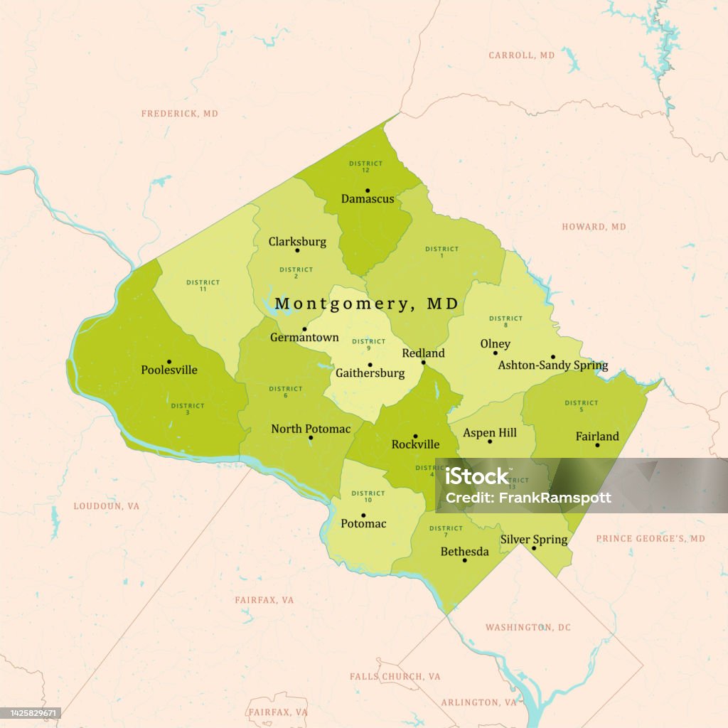
Tuesday is projected to be the peak of this warm cycle. Skies are expected to remain sunny with afternoon highs reaching approximately 71 degrees. However, even during this peak, the morning may still see patchy fog before 8:00 a.m.
The following data outlines the projected high and low temperatures for the upcoming week in Clarksville-Montgomery County:
| Date | Expected High | Expected Low | Primary Conditions |
|---|---|---|---|
| Sunday | 63°F | 36°F | Sunshine, morning fog and frost |
| Monday | 68°F | 37°F | Sunny, morning fog and frost |
| Tuesday | 71°F | 41°F | Sunny and warm |
| Wednesday | 69°F | 44°F | Chance of showers/thunderstorms |
| Thursday | 60°F | 34°F | Partly sunny, cooler air |
| Friday | 53°F | 29°F | Mostly sunny, freezing overnight |
The weather pattern shifts as the community observes Veterans Day. While much of the day will remain mostly sunny, a 20 percent chance of showers and thunderstorms is expected to develop after noon. Those planning to attend outdoor ceremonies or community events should monitor the sky as the afternoon progresses.
The instability increases by Wednesday night. A 40 percent chance of precipitation exists, with thunderstorms possible before midnight. As the weather system moves through, southwest winds of 5 to 10 mph will shift to the northwest after midnight, signaling the arrival of a cooler air mass.
Temperatures will change most on Thursday as Tuesday's warmth evaporates. Thursday will see a return to cooler conditions with a high of 60 degrees and a low of 34 degrees. By Friday, the transition to winter-like weather becomes more pronounced.
Friday’s afternoon high is forecast to reach only 53 degrees. The real impact, however, lies in the overnight hours. Temperatures are expected to drop to approximately 29 degrees on Friday night, bringing the possibility of widespread freezing conditions across the Clarksville-Montgomery County area.

No. 19 Texas Tech Hosts No. 3 Illinois on Tuesday
No. 19 Texas Tech faces No. 3 Illinois in Lubbock Texas Tech enters Tuesday night's matchup against No....
No. 1 South Carolina defeats No. 12 North Carolina 84-39
The No. 1 South Carolina women's basketball team defeated No. 12 North Carolina 84-39 on Sunday, November 8,...

Rhode Island Rams Men’s Basketball Start 2026-27 Season with 2-0 Record
Rhode Island Rams hold 2-0 start in 2026-27 season The Rhode Island Rams men's basketball team has secured...

54th YMCA Harrisburg Marathon Draws 1,500 Runners to Capital City
1,500 runners complete the 54th YMCA Harrisburg Marathon About 1,500 runners gathered in the capital city on Sunday...