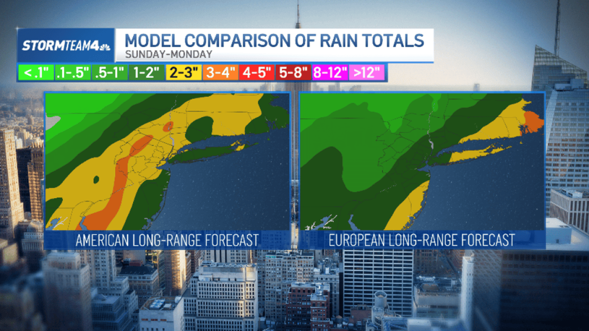
A coastal storm will soak the New York City metro area Sunday night into Monday with 1 to 3 inches of rain and wind gusts up to 40 mph, prompting flooding concerns for the Monday morning commute, NBC New York reported.
The system will bring 1 to 3 inches of rain and peak wind gusts of 30 to 40 mph Sunday night into Monday.
The system, which triggered flash flooding along Florida’s Atlantic Coast earlier this week, will track northward and reach the Northeast by Sunday afternoon, according to Storm Team 4. Rain is expected to begin between mid-afternoon and early evening in the city and continue overnight, tapering off Monday morning. The heaviest totals are likely near the coast, while inland amounts remain lower-confidence and depend on the low-pressure center’s exact track.
When will the rain arrive and how much is expected?
Rain should start in the metro area Sunday afternoon or early evening and persist through the overnight hours, NBC New York reported. Forecast models show a 12-to-18-hour window of steady rain, with most locations picking up 1 to 3 inches. Coastal zones face the highest confidence for those totals; if the low tracks farther offshore, inland areas will stay drier.
What does this mean for the Monday commute?
The Monday morning rush will likely take the hardest hit. “The good news is that most of the rain will fall overnight between Sunday and Monday, when most people are tucked in bed and not on the roads,” Storm Team 4 said. Still, ponding on roadways and reduced visibility are expected during the peak travel window, especially on routes heading south toward Philadelphia and Washington, D.C.
How strong will the winds get?
Peak gusts of 30 to 40 mph are forecast, with gale-force winds possible on all marine waters Monday, according to the National Weather Service cited by silive.com. Wind advisories may be issued depending on the storm’s final intensity and track. Gusts of 20 to 25 mph are expected in the city itself Monday.
What about temperatures and snow chances?
Temperatures will be mild — highs in the upper 50s to low 60s through Saturday, roughly 10 to 15 degrees above normal — so this is an all-rain event, NBC New York reported. Western New York could see mid-to-upper 60s Saturday and Sunday, nearly 20 degrees above average, the National Weather Service in Buffalo noted.
Colder air arrives behind the storm: highs Tuesday and Wednesday will drop into the lower 30s to near 40 degrees, with lake-effect rain and snow showers possible southeast of the Great Lakes.
The New York City metro area is the largest metropolitan statistical area in the United States, with 20.1 million residents counted in the 2020 Census, and the only one exceeding 20 million. Its coastline ranks among the fastest-warming urban ocean shorelines globally, a factor that shapes how coastal storms interact with the region’s dense infrastructure and low-lying communities.
Where is the forecast still uncertain?
The exact track of the low-pressure system remains the key variable. A farther-offshore path would spare inland areas the heaviest rain and strongest winds, while a closer track would amplify both. The National Weather Service emphasized that the flooding threat — widespread minor flooding with isolated flash flooding in prone spots — hinges on that track and timing, which are still being refined.
Related reading

Eric “Shane” Berryhill, 46, Remembered for Laughter, Loyalty and Organ Donation
Eric "Shane" Berryhill, 46, died July 9, 2026, in Hastings, Nebraska. He was born May 27, 1980, in...
NYT Midi Crossword “Now in Color” Uses “Providence, ___ Island” for RHODE at 15-Across
Friday's New York Times Midi crossword landed with a theme that turned the grid itself into a visual...

Five Baltimore Residents Face Felony Charges After $7,400 Nike Theft, I-70 Pursuit
Five Baltimore residents face felony charges after deputies recovered nearly $7,400 in Nike merchandise stolen Monday evening from...
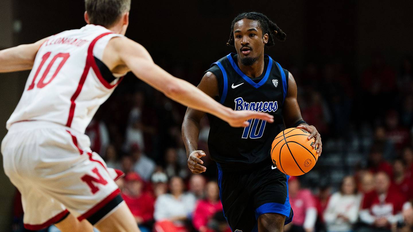
Boise State Faces Sam Houston After Loss to No. 24 Nebraska
Boise State saw its high-octane start evaporate in a 102-75 rout at the hands of No. 24 Nebraska...