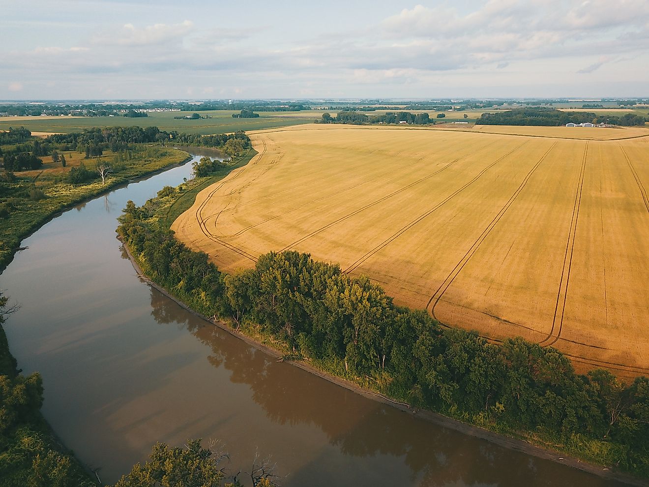
The Mississippi River is not supposed to be where it is today, and the only thing keeping it there is a set of concrete gates in a quiet corner of Louisiana that have held for more than 60 years.
The gates sit at Old River, a short channel near Simmesport that connects two very different routes to the sea. Water that stays in the Mississippi travels 335 miles, looping past Baton Rouge and New Orleans first.
The youngest of the six is forming now at the mouth of the Atchafalaya.
“Basically that whole region becomes inundated. Morgan City is gone, pretty much.”
said Robert Twilley of Louisiana Sea Grant, describing what a capture would mean for the port town of 11,472 people at the bottom of the Atchafalaya Basin.
The jump would finish a shift that began in 1831. The cut shortened the Mississippi by more than 17 miles.

A massive logjam still blocked the Atchafalaya, and the state of Louisiana began clearing it in 1839.
A flood big enough to top those structures has its own outlet.
The structures had been working for a decade when the spring flood of 1973 hit. Crews dumped 250,000 tons of rock to stabilize it.
The structures have since held through the two highest floods on record at Old River.
The foundation that the 1973 flood undermined is still in service.
The basin’s floodway runs from Simmesport to the Gulf below Morgan City.
Farther south, Interstate 10 crosses the swamp on an 18.2-mile bridge. Morgan City sits at the bottom of the basin behind a floodwall. During the 2011 flood, the city closed 22 of its 27 floodgates.
On the old channel, the threat would come up from the Gulf.
A captured river would make that drought condition permanent.
Industries that draw fresh water from the lower river would be stranded beside a tidal channel.

Those Mississippi Gulf ports handled 48% of all U.S. grain inspected for export in 2024.
The Wax Lake Delta shows what the full river would build. NASA measured the Wax Lake and Atchafalaya deltas together growing by about a square mile a year.
Without the river’s flow, the delta below New Orleans would have little left to rebuild it.
A failure at Old River would restart the cycle with nothing to slow it.

“It was a quick burst,” National Weather Service meteorologist Parker Alvstad said
“It was a quick burst,” National Weather Service meteorologist Parker Alvstad said, describing the storm that buried Anchorage...

St. Michael’s Defense Extends Shutout Streak to 10 Games Ahead of State Semifinal
St. Michael's has not allowed a point since August 21, a shutout streak spanning 10 games that has...

Ying Cenly Chen Took ChronoScale CEO Role Nine Days Before Super Micro Indictment
Ying Cenly Chen accepted the chief executive role at ChronoScale on March 10, nine days before a federal...

Attorneys Renew Bid for Corie Walsh’s Release, Argue Jail Lacks Psychiatric Care
Defense attorneys for Corie Walsh filed a renewed motion for pretrial release Thursday in Will County court, arguing...