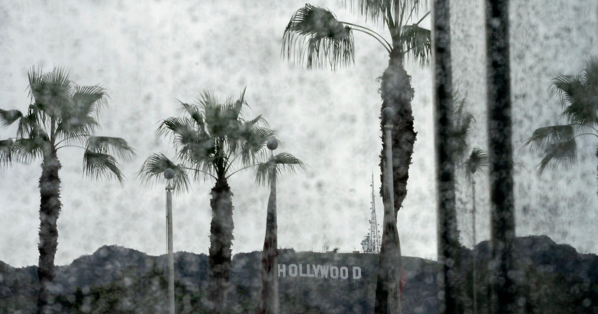
A flash flood warning is active for central and southern Los Angeles County until noon Thursday as the strongest storm of the season dumps rain at rates that could exceed an inch per hour.
The National Weather Service issued the warning shortly after 8 a.m. after Doppler radar showed thunderstorms producing heavy rainfall across the region. A rare severe thunderstorm warning that covered parts of the area earlier in the morning has since expired, but a flood watch remains in effect for Los Angeles County until 6 p.m. and for Ventura County until 3 p.m., according to the weather service.
⚠️ LA County Evacuation Warning Areas impacted by recent wildfires may be at risk of mudslides and debris flows as storms move through #LACounty 📍 Check your evacuation status at https://t.co/tanG9lkwfT 🔗 Visit https://t.co/QoHiXEugb7 for preparedness tips and resources. pic.twitter.com/mGOop8WCpr
Forecasters expect the heaviest rain to fall during the morning commute, with totals between 1 and 3 inches across most of the basin and 3 to 5 inches in the foothills. CBS LA chief meteorologist Paul Deanno said the last time the region recorded an inch of rain was in February, and the last time Los Angeles saw 2 inches was Christmas Eve 2025.
“Wildfires strip away protective plants and change the way soil absorbs water, causing runoff even during moderate storms,” the National Weather Service said in its forecast discussion, highlighting the acute danger in recently burned areas.
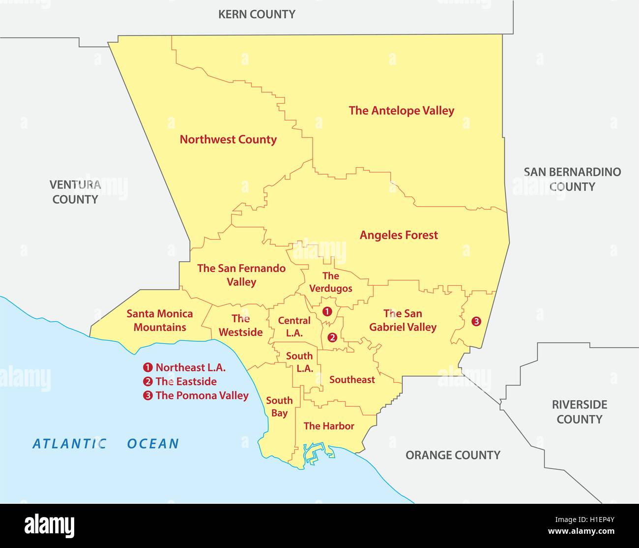
On Wednesday, local and county officials issued evacuation warnings for the Palisades, Hurst, Sunset, Eaton, Kenneth and Canyon burn scar areas. Residents there are being told to be prepared to leave if conditions become dangerous, with the weather service warning of potential flooding, debris flows and mudslides.
Los Angeles County, created at California’s statehood in 1850, originally spanned from the coast to the Nevada line and included land that later became seven other counties. It remains the nation’s most populous county, with 9,694,934 residents estimated in 2025, and still anchors the film industry despite a steep exodus of production.
The county covers 4,083 square miles, borders 70 miles of Pacific coast, and is divided by the San Gabriel Mountains, where the burn scar areas now at risk of debris flows are located.
The low-pressure system driving the storm is expected to taper off Thursday afternoon and into the evening, with dry conditions returning by Friday heading into the weekend.
HEADS UP!!!!!!! POWERFUL COLD FRONT WILL MOVE INTO #LOSANGELES COUNTY AROUND 700 AM!!!! – HEAVY RAIN & ISOLATED FLASH FLOODING LIKELY – RAIN RATES WELL IN EXCESS OF 1"/HOUR – DAMAGING WINDS – POSSIBLE WEAK TORNADO
Worth a look
East Lansing Board Plans ‘Screenagers’ Screening; Approves Paving, Audio Contracts
"We are encouraging our audience [of] students, community members, families, and parents alike to engage with our panelists...

No. 3 South Carolina Equestrian Heads to UT Martin for Split-Squad Doubleheader
No. 3 South Carolina equestrian heads to Martin, Tennessee this weekend for a split-squad doubleheader against UT Martin...

Class Action Lawsuit Challenges SNAP Food Restrictions in 18 States
A federal lawsuit filed Wednesday challenges USDA's imposition of identical SNAP food restrictions across 18 states without required...

Union Opens Playoffs vs. Revolution; Blake Out, Rick Starts
The Philadelphia Union open their MLS Cup playoff series against the New England Revolution at Gillette Stadium on...