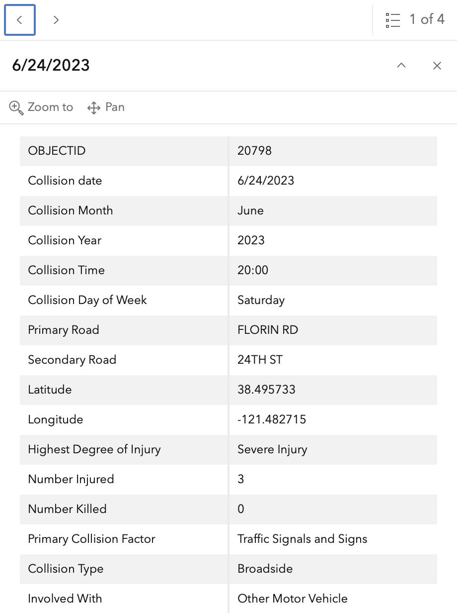
Fatalities and severe injuries mark Florin Road and 24th Street
A single fatal crash occurred at the intersection of Florin Road and 24th Street on February 2, 2020, according to data from the Vision Zero Action Plan Update.
The intersection is ranked as number eight on the City of Sacramento’s list of the top 20 most dangerous intersections, gettingaroundsac.blog reported.
Between 2015 and 2024, the location saw one fatality and three cases of severe injury. These incidents involved both motor vehicle occupants and bicyclists.
The physical layout of the intersection presents a complex environment for different types of commuters. Florin Road eastbound consists of five lanes, while the westbound side features six lanes. On 24th Street, southbound traffic moves through six lanes, whereas northbound traffic utilizes five.
Concrete medians and inconsistent bicycle infrastructure define the intersection
Pedestrians navigating the area encounter concrete medians on all four legs of the intersection. On the eastbound approach of Florin Road, a barrier fence is installed on the median to prevent people from crossing.
While the city has recently upgraded crosswalks to the standard Sacramento pattern at all legs, bicycle infrastructure remains inconsistent. East of the intersection, Florin Road includes a new buffered bike lane with vertical delineators on the north side and a Class 2 bike lane on the south side.
Other sections of the roadway lack dedicated bicycle facilities. Specifically, 24th Street northbound contains an area that may be intended for cyclists, but it lacks official signage and functions as an exceptionally wide travel lane of approximately 36 feet.
Speed limits also vary by direction and street. 24th Street has a posted limit of 35 mph, while Florin Road to the east is set at 40 mph. The speed limit for Florin Road to the west is currently unknown because it is not signed.
Because the City of Sacramento no longer maintains a centralized database or map of speed limits, researchers often rely on Google Maps Street View to identify posted limits. While the county and the Sacramento Area Council of Governments (SACOG) maintain such a database, it does not cover city-managed roadways.
The human cost of intersection design
The Vision Zero Action Plan Update focuses on “Killed or Severe Injury” (KSI) metrics, which include the four major incidents mentioned previously. However, other types of accidents occur at this location that fall outside those specific categories.
The Vision Zero Crash Dashboard Interactive Map indicates many "other visible injury" and "complaint of pain" crashes. These incidents are particularly frequent on 24th Street.
Data accuracy remains a challenge for civic planners. Police reports do not always provide precise crash locations, and entries labeled as “pedestrian violation” may not reflect actual responsibility. This is especially true in cases where the pedestrian is deceased and unable to provide a counter-account to a driver’s statement.
Including this intersection in the top 20 list shows the tension between high-capacity vehicle throughput and the safety of vulnerable road users. While the expanded lane counts on Florin Road and 24th Street facilitate heavy traffic flow, the resulting speeds and widths create risks for those not in enclosed vehicles.
The City of Sacramento continues to evaluate these high-injury locations as part of its broader commitment to eliminating traffic fatalities through the Vision Zero framework.
Keep reading

Chiefs Seek to Snap Losing Streak in Sunday’s Game Against Jets
The Kansas City Chiefs enter Sunday's matchup against the New York Jets seeking to snap a two-game losing...

Big East Teams Face Heavy Road Tests and High-Stakes Matchups
The preseason shakedown period is ending as Big East programs prepare to test their depth against high-major opponents...
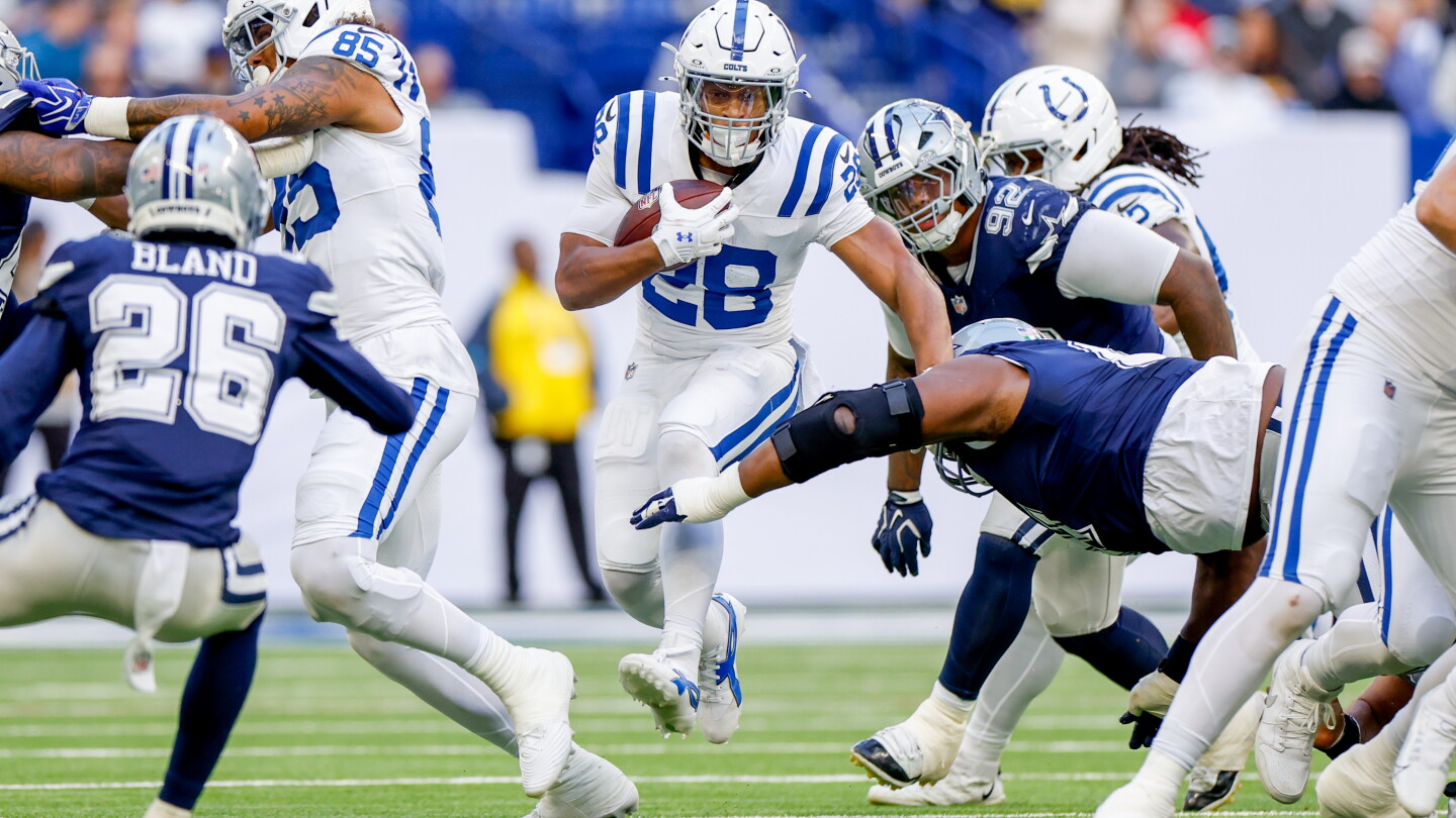
Jonathan Taylor Expresses Gratitude to Indianapolis Following Colts Loss
Jonathan Taylor spoke of his gratitude to the city of Indianapolis following the Colts' loss to the Cowboys...

College GameDay Heads to Boise State for Week 11 Showdown
The ESPN pregame show "College GameDay" is traveling to Boise, Idaho, for Week 11 to preview a high-stakes...