
Forecasters are watching a coastal storm take shape for Sunday into Monday, with widespread rain, gusty winds and possible flooding aimed at New Jersey, the National Weather Service’s Mount Holly office said Friday afternoon.
Models still disagree on the track — some put the low just off the Jersey Shore, others keep it well offshore — so rainfall totals and flood impacts remain uncertain, NJ.com reported. The Weather Service said confidence is rising that a storm will affect the region, but exact details are still in flux.
“While confidence continues to increase for a coastal storm to impact our area Sunday into Monday, exact details regarding the system continue to be uncertain,” the Mount Holly office wrote in its Friday update.
One piece of the puzzle is clearing up: the National Hurricane Center said Friday the system is unlikely to become a tropical or subtropical cyclone, even as it draws moisture from the warm Atlantic.
Regardless of classification, the center warned of gusty winds, dangerous surf, rip currents and coastal flooding from the Southeast to the Mid-Atlantic into early next week, with heavy rain and flash-flood threats spreading north from Florida through the Carolinas and into the Mid-Atlantic over the weekend.

New Jersey is projected to see about an inch of rain Sunday afternoon through Monday morning, with localized pockets up to two inches if the low hugs the coast, according to the Weather Service. Wind gusts of 20 to 30 mph are likely, strongest near the shoreline. Spotty minor coastal flooding could begin as early as the Sunday morning high tide cycle, the service said.
Another coastal storm may arrive on or around Thanksgiving, the Weather Service noted, though details won’t sharpen until Monday. For now, Wednesday — the heavy travel day — looks dry and mostly sunny with highs in the mid-40s. Thanksgiving Day itself is forecast mostly cloudy, low 50s, with a 60 percent chance of rain.
National Weather Service Mount Holly

Hubbard and Johnson Help Mississippi State Beat Tulsa in Jackson
Mississippi State moved to 5-1 on the season Friday night, pulling away from Tulsa for a 72-61 victory...

Lincoln Advances to State With Win Over Wichita County
Lincoln knew the script by heart: two unbeatens, one ticket to the state final, and a Friday night...
Singles Mixer Set for Dec. 17 in Charleston at 7 P.m
A singles mixer organized by Intelligent Events is scheduled in Charleston, South Carolina, with tickets available through Eventbrite....
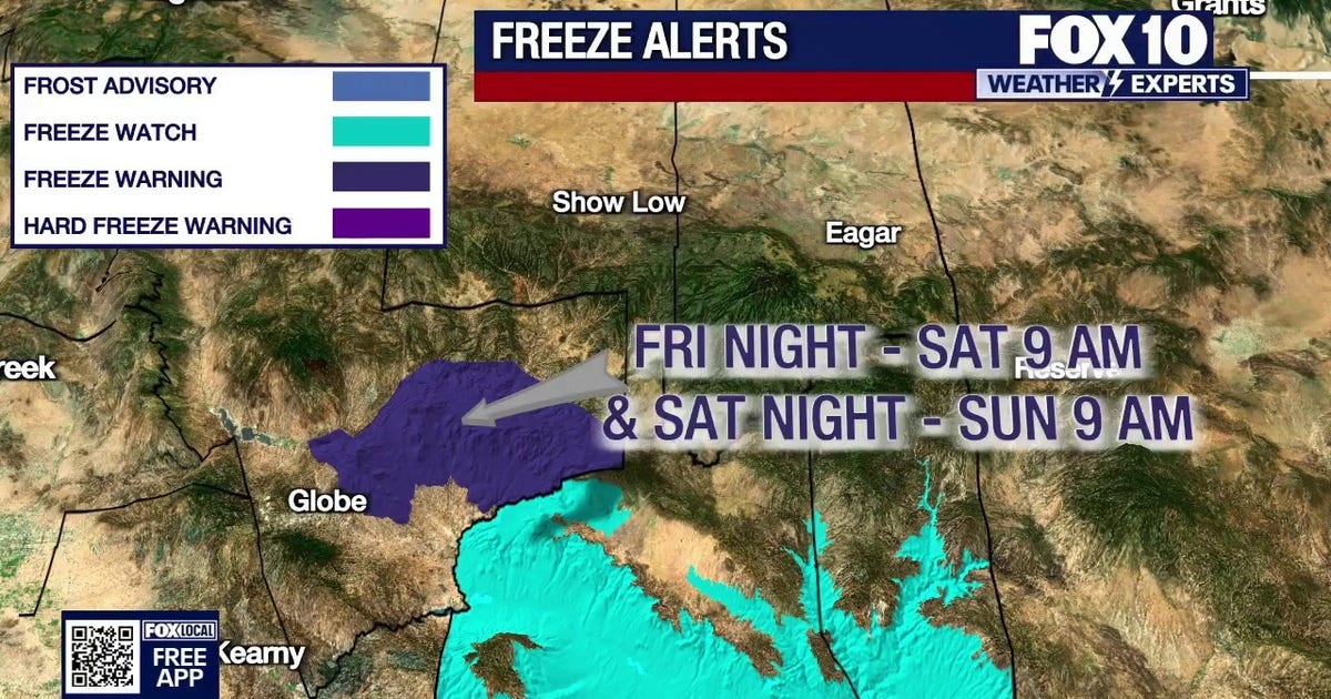
Cold Front Brings Light Rain and Snow Showers Before Sunny Weekend, FOX 10 Phoenix
A cold front sweeping across Arizona will bring isolated light rain and snow showers to northern and eastern...