
Water scarcity is no longer a distant threat for the Pacific; it is a persistent, evolving challenge that demands sophisticated data and local cooperation.
For more than five years, the National Integrated Drought Information System (NIDIS) has been working to bridge the gap between complex climate modeling and the daily realities faced by farmers, ranchers, and resource managers across Hawai‘i and the U.S. Affiliated Pacific Islands (USAPI).
The stakes for this region are immense. The USAPI network includes three U.S. territories—American Samoa, Guam, and the Commonwealth of the Northern Mariana Islands—alongside three independent nations: the Federated States of Micronesia, the Republic of the Marshall Islands, and the Republic of the Palau. With the Pacific Remote Islands included, the geographic and cultural diversity of this region makes a “one-size-fits-all” approach to water management impossible.
Collaborative drought planning in the Pacific
To address these complexities, the Pacific Drought Knowledge Exchange (PDKE) has emerged as a critical hub for co-producing actionable information. By bringing together researchers and local practitioners, the initiative aims to turn abstract climate data into tools that can actually influence land and water management decisions. These partnerships are the cornerstone of a new, more responsive drought early warning capacity for the region.
The effort to refine these tools culminates in a public webinar scheduled for Tuesday, November 17, 2026, from 11:00 a.m. to 12:00 p.m. (HST). During this session, stakeholders will showcase the collaborative progress made between NIDIS and the PDKE to improve drought planning and preparedness. Interested participants can register for the webinar here.
From climate portals to rangeland management
The upcoming presentation will highlight several specific technologies designed to translate climate data into practical action. Dr. Abby Frazier of Clark University’s Graduate School of Geography will open the session with an overview of the broader partnership. Following this, the University of Hawai‘i (UH) Sea Grant College Program will demonstrate how digital infrastructure is being used to support local agriculture and environmental monitoring.
Key presentations will feature:
- The Hawai‘i Rangeland Information Portal (H-RIP), presented by Cherryle Manzano, which focuses on supporting the state’s livestock industry.
- Hawai‘i Climate Portfolios, presented by Derek Ford, designed to provide localized insights for decision-makers.
- Monthly Climate Summaries, led by Dr. Ryan Longman, which offer a consistent, updated view of regional climate trends.
These tools provide more specialized, granular data. For a rancher in a drought-prone area of Hawai‘i, the value of these portals lies in their ability to provide precise, location-specific indicators that can dictate grazing rotations or water allocation strategies. Without these systems, managers are often forced to rely on broader, less accurate regional averages that may not reflect the conditions on the ground.
The challenge of Pacific-wide preparedness
While these technological advancements are important, the Pacific region faces unique obstacles. Small island nations often lack the infrastructure found on the U.S. mainland, making them disproportionately vulnerable to shifting weather patterns.
The challenge in this context is that even the most advanced data portal is only as useful as the underlying infrastructure available to act on that information. If a community identifies a drought risk via the H-RIP but lacks the physical storage or distribution capacity to mitigate it, the data remains a diagnostic tool rather than a solution.
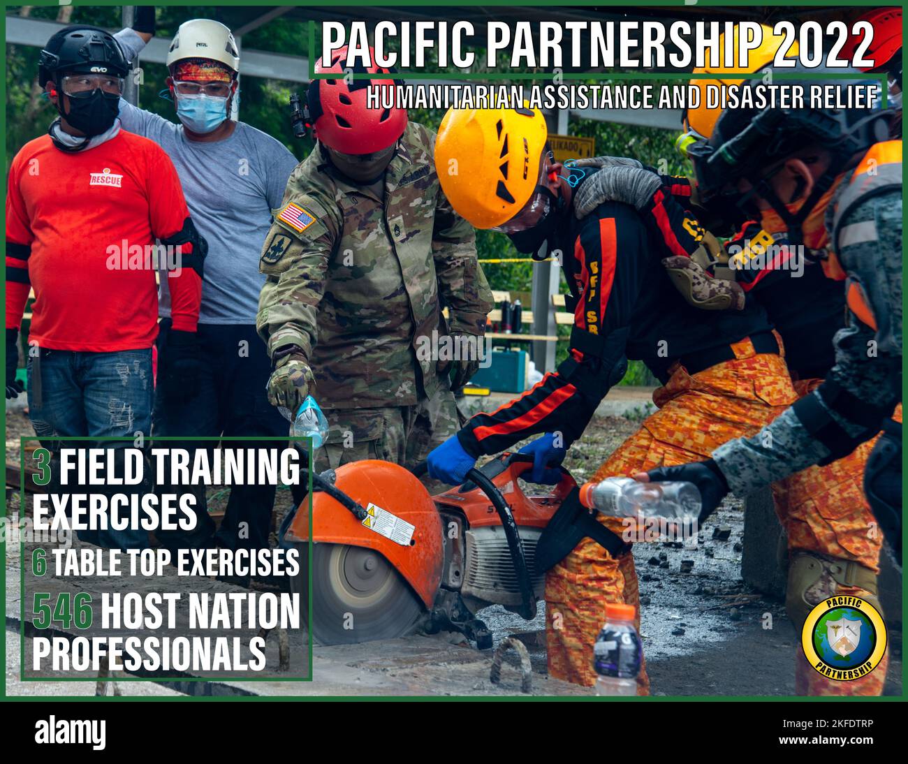
Despite these hurdles, the focus remains on building a sustainable culture of preparedness. By integrating cultural practitioners into the research process, the PDKE ensures that modern scientific modeling respects and incorporates traditional knowledge. This combination of high-tech data sets and local historical context is what separates this initiative from previous attempts at environmental management.
As the region looks toward the 2026 climate outlook, these collaborative efforts show how remote and island communities can use federal resources without sacrificing local autonomy. The webinar on November 17 will provide the next step in this long-term integration, offering a transparent look at how these tools are being deployed across the Pacific.

5 Budget Changes That Add Up Fast in Retirement – MONEY
Retirement budgets can help individuals move from stressing about money to feeling in control of their financial future,...

Kanye West Sued by Musician Who Says He Was Locked in Wyoming High School to Write Opera
Kanye West faces a new federal lawsuit from an opera musician alleging he was locked inside a Wyoming...
Milwaukee Public Schools Superintendent Addresses Finances, Safety and Declining Enrollment
“I believe MPS has everything it needs to build and become extraordinary,” said Brenda Cassellius. Milwaukee Public Schools...

How to Monetize Apps Built With AI Prompts and Builders
Building an app is easier than ever in the age of vibe coding, where you can build software...