Only 146 of the original 275 historical markers placed across Massachusetts remain standing, according to an inventory compiled in 2011, Wikipedia reported.
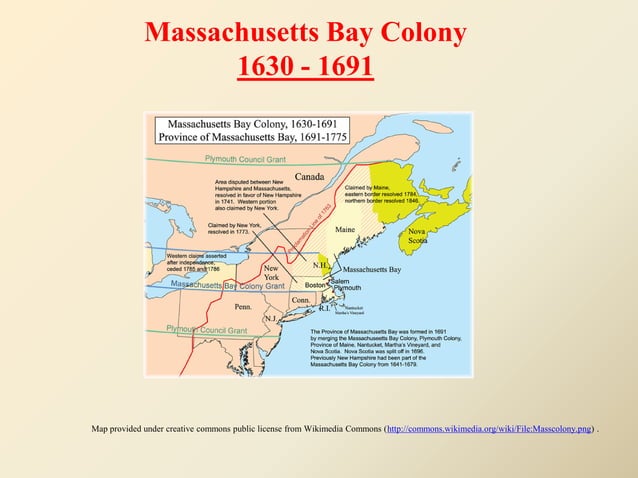
To celebrate the 300th anniversary of the Winthrop Fleet’s 1630 arrival at the Massachusetts Bay Colony, the Massachusetts Bay Colony Tercentenary Commission spearheaded a large-scale commemorative project involving these markers.
The commission originally planned for approximately 250 markers when the effort was announced. However, the total number of markers ultimately placed reached 275. These markers were distributed across 95 cities and towns spanning nine different counties. A 2019 news report said that the Massachusetts Department of Transportation (MassDOT) had located 174 of the original 275 markers.
The 2011 inventory found that 128 markers were no longer in place, a figure that includes nine markers in storage and seven replica markers. The commission’s official advisor was Samuel Eliot Morison, a historian and professor at Harvard University.
The markers were designed as two-faced cast iron signs with a black border and raised lettering against an aluminum-gray background, featuring the state seal in bas-relief.
They were mounted on posts in two different heights: 45 inches and 35 inches, though all were 36 inches wide. “as far north as Amesbury, west to Deerfield and Greenfield, east to Rockport and south to Quincy,” the Massachusetts Bay Colony Tercentenary Commission intended for the markers to be located.
Almost 100 years since their installation, the text on the markers has been criticized for “firsting, practice by which local histories claim indigenous places as sites of European beginnings while relegating Native people to a vanished past.”
Keep reading

Michigan State Cross Country Teams Secure Two Top-Five Regional Finishes
The Michigan State men's cross country team took third place in the 10k race on Friday, marking an...

David Montgomery Ruled Out for Texans vs. Browns With Groin Injury
Houston Texans running back David Montgomery will miss Sunday's game against the Cleveland Browns after being ruled out...

Gavin Gores Scores 15 as Wyoming Defeats Denver 76-53
Gavin Gores scored 15 points to help Wyoming defeat Denver 76-53 on Saturday. The Cowboys improved to a...

Fed Warns AI Investment Boom and Data Center Debt Pose Financial Risks
Debt issuance for AI computational infrastructure, including data centers, exceeded 680 billion dollars from January to October this...