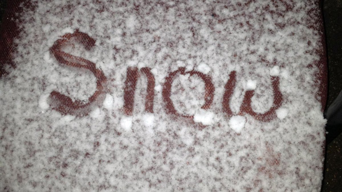
The Tri-State area might see its first snowflakes of the season by the end of the week.
While most residents should prepare for rain, parts of the Hudson Valley could experience a brief mix of wet snow late Friday night into early Saturday.
According to a report from NBC New York, a developing storm system is expected to move toward the Northeast between Thursday and Friday. This system brings the potential for widespread rain and gusty winds across the region, though the exact track of the storm remains uncertain.
Low confidence in snow accumulation
Despite the possibility of seeing flakes, meteorologists note that the chances of meaningful snow are slim. The current forecast indicates that any potential wet snow would have negligible impacts on the ground.
A lack of cold air near the surface is the primary obstacle to heavy snow. Without a strong source of cold air near the ground, snowflakes are unlikely to both develop and stick to the surface. Even in higher elevations farther inland, where colder conditions might allow for a brief mix, accumulation is not expected.
The storm’s exact path will ultimately dictate whether the region sees rain, snow, or neither. Currently, there is low model consensus regarding how the storm will develop and how closely it will pass the area as it strengthens and begins to exit the region between Friday night and Saturday.

Rain and wind define the weather outlook
While the prospect of snow captures attention, widespread rainfall and gusty winds are the main weather concerns. The timing and intensity of these conditions depend on how the system evolves over the next few days.
Forecasters are tracking two primary scenarios for the approaching system:
- Scenario one: Light rain arrives Thursday and continues into Friday morning, followed by improving conditions as the storm moves offshore.
- Scenario two: The system redevelops near the coast, potentially bringing another round of rain on Friday night that could persist into Saturday morning.
Gusty winds are also possible, particularly for those living closer to the coast and as the system begins to depart the region.
What to expect for the weekend
For residents in the Hudson Valley, the possibility of seeing a few flakes remains worth watching, particularly across higher elevations. However, the immediate forecast suggests that the weather will remain relatively mild for the start of the workweek.
The current outlook shows sunny and slightly above-average temperatures for the beginning of the week. Forecasters suggest that the best course of action is to enjoy the clear weather now and monitor updates as the storm system begins to develop more clearly over the next 48 hours.
Related reading

Rep. Thomas Massie Moves to Impeach Defense Secretary Pete Hegseth
Representative Thomas Massie of Kentucky moved to force a vote to impeach Defense Secretary Pete Hegseth as Congress...

2026 NCAA DII Men’s Soccer Championship Bracket and Schedule
The road to the 2026 NCAA Division II men's soccer championship begins The NCAA selection show aired at...

Man Charged With Murder After Allegedly Shooting Roommate Through Apartment Door in Salt Lake City
A roommate's death in Salt Lake City A 24-year-old man was shot and killed outside his apartment in...

Jefferson and Lincoln Set up 11AAA State Title Game
Sioux Falls Jefferson and Lincoln set up 11AAA title bout “I just couldn’t be more impressed with our...