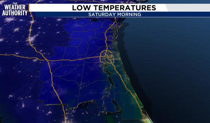
A strong cold front will move across our area on Thursday, bringing more wind and the coldest air of the season later this week into the upcoming weekend, WJXT reported.
Until then, conditions remain sunny and warm with temperatures near 80 degrees. Colder air is pushing in from Canada behind Thursday’s front, creating a deep blue color over the Southeast on weather maps.
High temperatures plummet toward the weekend
High temperatures will plummet later this week, moving from near 80 degrees over the next few days to near 60 degrees this weekend. When looking at the high temperature forecast, Jacksonville International Airport will come close to 60 degrees.
Records for a high temperature at or below 60 degrees show an earliest date of October 20, 1989, a mean date of November 19, and a latest date of December 25, 2001.
Morning temperatures drop into the 30s and 40s
The biggest impact will be morning temperatures, dropping into the 30s and 40s compared to an average low in the 50s for this time of year. Jacksonville International Airport will drop into the 40s.

Records for a low temperature at or below 40 degrees show an earliest date of October 14, 1977, a mean date of November 11, and a latest date of December 21, 1948.
While areas in Georgia will likely drop into the 30s, a freeze is unlikely for the Jacksonville area. The airport typically falls to or below freezing with an earliest date of November 3, 1954, a mean date of December 4, and a latest date of January 25, 1995.
Keep reading
Jayson Tatum Leads Celtics to Victory Over 76Ers to Take Top East Spot
Jaylen Brown struggled through a minus-27 performance as Jayson Tatum and the Boston Celtics dismantled the Philadelphia 76ers...

Ravens Release Nick Vannett and Kyle Hergel in Roster Shuffle
The Baltimore Ravens released veteran tight end Nick Vannett on Tuesday as part of a series of roster...

North Augusta Christmas Tour of Homes Returns Dec. 4-5
The historic Edwardian home at 708 Carolina Ave. in North Augusta, built in 1902 and featuring original wavy...

Stanton Moore Blends New Orleans Jazz and Funk in Trio Performances
Stanton Moore channels New Orleans roots into genre-fluid jazz, balancing deep hometown traditions with forward-looking modern rhythms on...