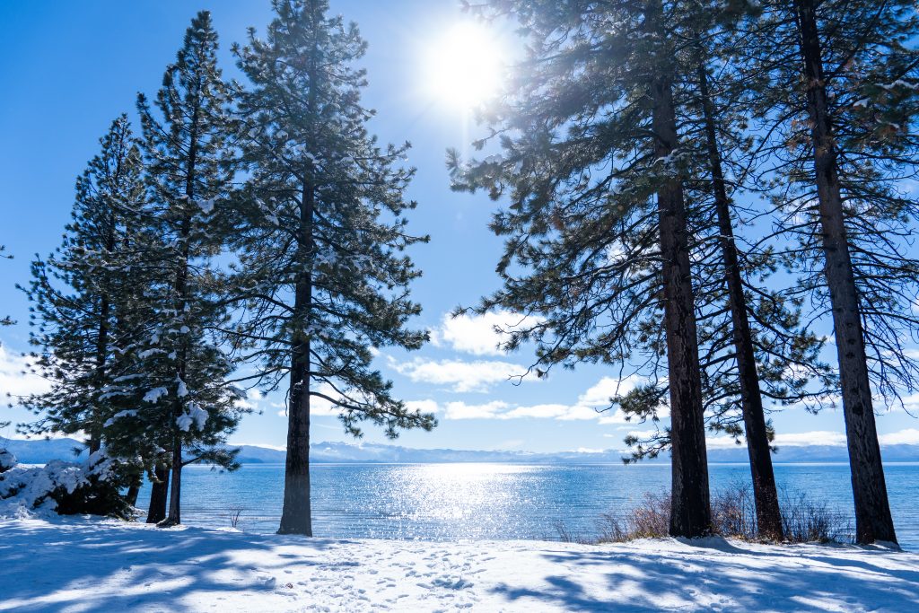
Winter storms are lining up across the Sierra as a fresh round of snow targets Tahoe, bringing difficult travel conditions and dropping snow levels down to lake level.
The region's first major storm cleared the area on Saturday, leaving local ski resorts covered in snow and improving driving conditions briefly. According to the Sierra Sun, open roads and clearing skies on Sunday morning offer the best opportunity for travel before the next weather system arrives late Sunday night.
OpenSnow forecaster Bryan Allegretto told the Sierra Sun that a fast-moving storm is expected to sweep into the region late Sunday into Monday. Snow levels will hover between 7,000 and 8,000 feet Sunday night before dropping to 5,000 to 7,000 feet on Monday, with lower levels expected across the northern Sierra according to the National Weather Service.
The Tahoe Basin could see 1 to 2 inches of new snow, while Donner and Echo passes may receive 2 to 4 inches or less. Carson Pass faces a 75% to 95% chance of receiving up to 6 inches, prompting warnings for drivers to prepare for winter driving conditions by Monday morning.
That initial system should move out by Monday night, but the break will be short-lived. Allegretto expects a larger, colder storm to arrive Wednesday and continue through Thursday, potentially bringing 1 to 3 feet of snow across the Sierra and dropping snow levels as low as 3,000 feet by Thursday.
Drivers should expect widespread chain controls and slow, difficult travel across mountain passes as the mid-week system moves through the region, with conditions potentially improving later Thursday.
Worth a look

Cassie Carlson named AMC Volleyball Player of the Year for WBU
Freshman Cassie Carlson secured the American Midwest Conference Volleyball Player of the Year award, headlining the league's postseason...

Skip Hinnant, The Electric Company Star, dies at 86
Skip Hinnant, the original cast member of PBS' The Electric Company best remembered for playing Fargo North, Decoder,...

Portland Trail Blazers Aim for 4th Straight Win Against Timberwolves
The Portland Trail Blazers face the Minnesota Timberwolves on Monday at 8 p.m. EST in Minneapolis with a...

Clippers Beat Thunder 113-112 After Darius Garland’s Three-Point Play
Shai Gilgeous-Alexander missed a 21-foot jump shot with two seconds remaining, allowing the Los Angeles Clippers to escape...