
The Western Fire Chiefs Association Fire Map displays near real-time wildfire activity across Alaska and the western United States.
Satellites detect fires using NASA FIRMS—which includes VIIRS, MODIS, and Landsat—alongside NOAA’s GOES geostationary satellites. These detections are verified by Satellites on Fire, an artificial intelligence system that confirms wildfire detections from the satellites.
According to the map data, additional context is provided by the National Weather Service and NOAA’s Storm Prediction Center, which supply fire-weather forecasts and warnings such as Red Flag Warnings and fire-weather outlooks.
Users viewing the live map can access active incidents and perimeters, which feature official IRWIN incident records and federal FEDS perimeters that include containment status and growth tracking. The tool also incorporates live 911 dispatch calls for medical, fire, and other emergencies through PulsePoint, alongside smoke and lightning observations and short-range forecasts.
The platform combines polar-orbiting sensors—such as Landsat thermal, MODIS, and VIIRS—with geostationary GOES ABI sensors featuring a five-minute refresh rate. It also includes AI-confirmed detections that fuse multiple inputs to provide higher resolution, alongside early perimeter and three-hour spread forecasts for California fires via FIRIS.
Additional features on the map include live firefighting aircraft tracking for tankers, helicopters, and reconnaissance filtered to a maintained allowlist of wildfire-tasked tail numbers. Users can also view live fire cameras from partner networks, ALERTWest, and ALERTCalifornia, as well as fire weather context covering humidity, wind, and satellite imagery including VIIRS Fire Bands composites and GOES GeoColor true-color for visual confirmation of smoke and active fire.
Every layer on the map is color-coded by confidence and recency, and each layer is toggleable. The system links to incident detail panels providing live conditions, dispatch information, and growth history, while deep links allow users to share or bookmark a URL that opens directly to the same viewport, fire, or state.
Keep reading

Oregon Agriculture Officials Confirm State’s First Case of Bird Flu in Dairy Cattle – OPB
Bird flu has landed on a commercial dairy farm in Oregon for the first time, confirmed by state...

Released Oklahoma Death Row Inmate Richard Glossip Faces Potential 45-Year Prison Sentence
Richard Glossip walked out of prison in May after spending three decades on Oklahoma's death row, but his...
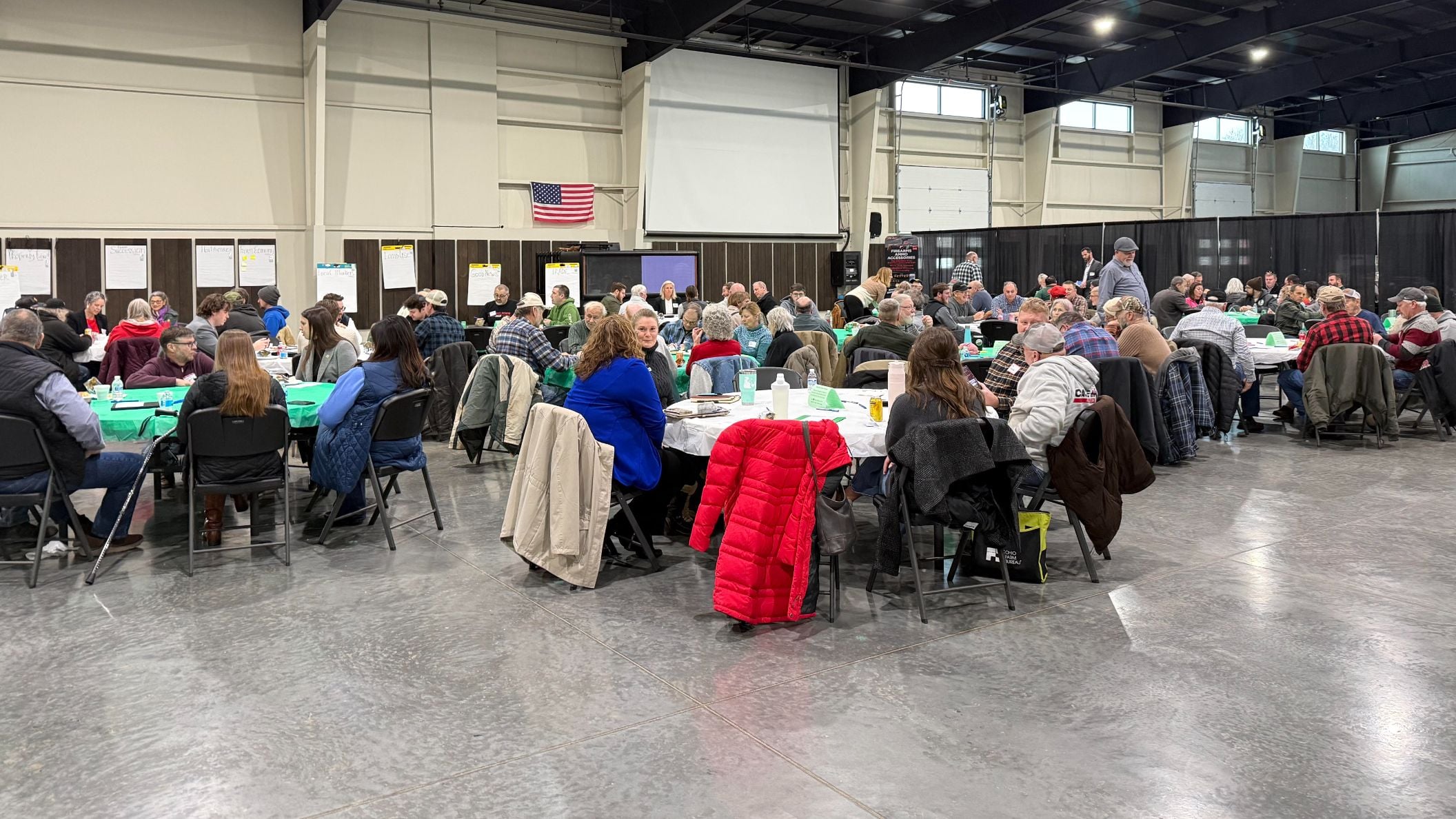
Wayne County Farmers Share Concerns at AST Listening Lunch
Wayne County farmers face a generational crossroads as local agricultural leaders prepare for the 2027 Farmer Listening Lunch...

MILF Dating Bismarck, ND | Unlock Mature Hookups
A single clear profile photo and a direct mutual preference make local matchmaking significantly more straightforward in Bismarck,...