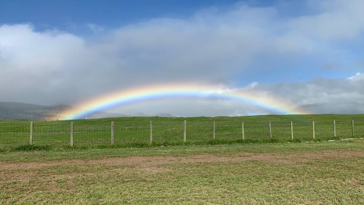
A moisture band moving south along the eastern end of the state will keep windward Big Island districts wet through Sunday, while leeward areas stay largely dry, according to the National Weather Service forecast issued Saturday.
Breezy trade winds will focus showers over Hilo and Puna tonight and Sunday, with rain chances at 90 percent and lows dropping to 51 to 57 at 4,000 feet, Big Island Now reported. Kona, South Big Island and Waikoloa remain mostly clear with isolated afternoon showers and highs in the low- to mid-80s near sea level.
Windward rain eases Sunday night
Showers shift to scattered coverage Sunday night as the moisture band passes, lowering rain chances to 50 percent in Hilo and Puna. Northeast winds hold at 10 to 15 mph before easing further Monday.
Cold front approaches Thanksgiving week
A cold front is expected to sweep down the island chain Wednesday night through Thanksgiving Day, bringing gusty northerly winds and a renewed rain threat, the forecast discussion said. Models show the front pushing through late Wednesday night, though confidence on exact timing remains lower because the synoptic pattern is still unresolved at that range.
Small Craft Advisory active until Sunday evening
A Small Craft Advisory remains in effect until 6 p.m. Sunday for Alenuihaha Channel, Big Island leeward and southeast waters, Maalaea Bay and Pailolo Channel. A large northwest swell builds Tuesday, pushing surf above High Surf Advisory levels into Wednesday, with an extra-large northwest swell expected Thanksgiving Day that will exceed High Surf Warning thresholds, though northerly winds behind the front will likely create rough conditions.
Worth a look

Brewers Fans Sell Out American Family Field, Fill Half of Tropicana Field
Brewers fans turned American Family Field into a sellout environment for the first time in four postseason games...

Two $200,000 Powerball Prizes in Springfield, Aurora Unclaimed With Year Left
A $200,000 Powerball ticket sold at the Hy-Vee on South MacArthur Boulevard for the Dec. 15, 2025 drawing...
Coastal Storm Shifts East, Spares NYC Heavy Rain; Thanksgiving System Looms
A coastal storm tracking east of Long Island will drop up to three inches of rain on eastern...

Expectant Father Opens Fire at Baby Shower, 3 Dead in Ohio
A 19-year-old expectant father opened fire at his own baby shower in Parma, Ohio, on Saturday, triggering a...