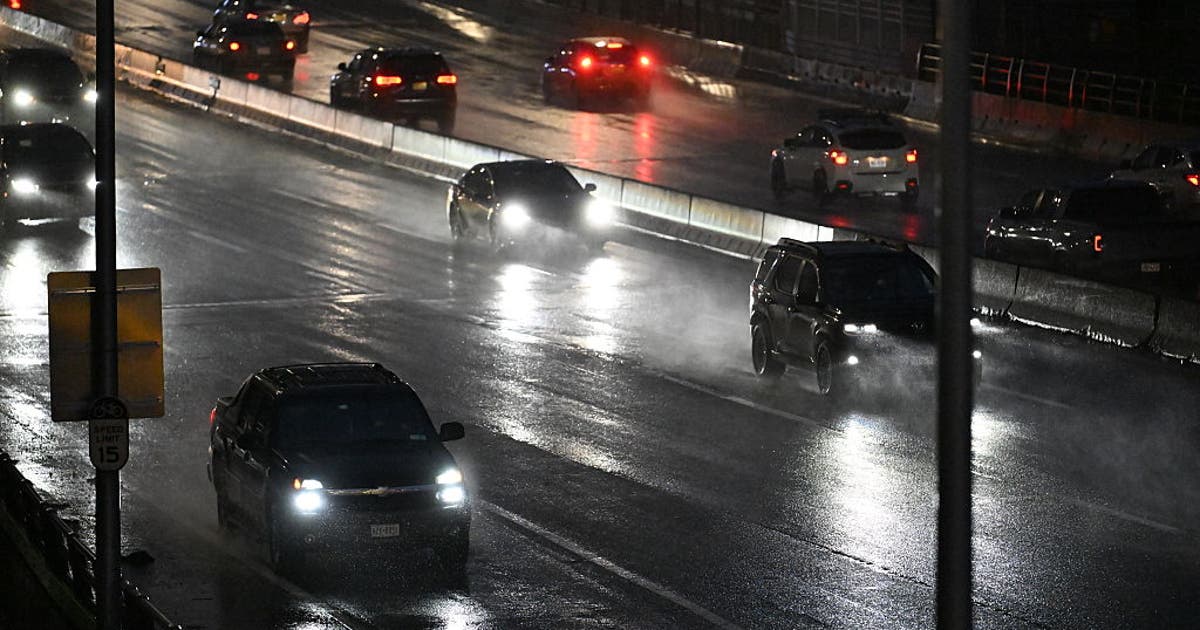
A coastal storm tracking east of Long Island will drop up to three inches of rain on eastern sections Sunday night, while New York City sees less than an inch, the National Weather Service said Friday.
The storm’s eastward shift, noted across forecast models, spares the five boroughs the heaviest downpours and instead targets the East End and southeastern Connecticut.
Rain arrives Sunday afternoon and peaks around 10 p.m., tapering off by daybreak Monday, according to CBS News New York. The heaviest band sets up over eastern Long Island, where the Weather Service expects 1 to 2 inches and isolated totals near 3 inches.
Western parts of the city and areas north and west of the metro region could receive only a few tenths of an inch, the National Weather Service in New York said. AccuWeather puts New York City’s total at about 1.15 inches with possible ponding on streets and highways.

Sustained winds of 10 to 15 mph will gust 25 to 30 mph along the coast, with an outside chance of 40 to 45 mph gusts on the immediate eastern Long Island shoreline if the low passes close enough — a scenario forecasters described as very unlikely, the Weather Service said. Minor coastal flooding is possible around Monday morning’s high tide in some South Shore back bays, CBS News New York reported.
Behind this system, a second coastal storm is increasingly likely for Thanksgiving Day. The Weather Service added the holiday storm “has the potential to be more impactful regarding wind and coastal flooding,” according to FOX 5 New York.
Mostly cloudy skies will be in place to begin Sunday, with a few spotty showers possible in the morning, CBS News New York reported.
Forecasters are tracking another coastal storm for Thanksgiving Day that may prove more formidable than Sunday’s event, with temperatures stuck in the 40s all day, CBS News New York said.

Upstate, the eastward track means little or no rain for the southwestern Adirondacks and western Mohawk Valley, while the Hudson Valley from Albany south could see 0.10 to 0.25 inches, the National Weather Service in Albany said. A cold front following the storm may produce northwest gusts of 30 to 40 mph Monday afternoon in the Mohawk Valley and Capital Region.
Related reading

Jeff Bridges, Frank Marshall Celebrate ‘The Last Picture Show’ 55th Anniversary at Egyptian Theater
Jeff Bridges and Frank Marshall attended a screening and discussion Friday night at the Egyptian Theater in Hollywood...

A Silver Loon Sculpture Now Anchors the Corner of Snelling and University Avenues
A silver loon sculpture now anchors the corner of Snelling and University avenues, marking the most visible sign...

Georgia Dominates South Carolina 34-6 to Secure Clear Path to CFP No. 1 Seed
Georgia secured the clearest path to the College Football Playoff’s No. 1 seed Saturday with a 34–6 road...

USHL Saturday: Steel Beat Gamblers, Storm Sweep, NTDP U17 Tops Phantoms in OT
The USHL completed a full Saturday slate on November 21, with six games producing 34 goals and results...