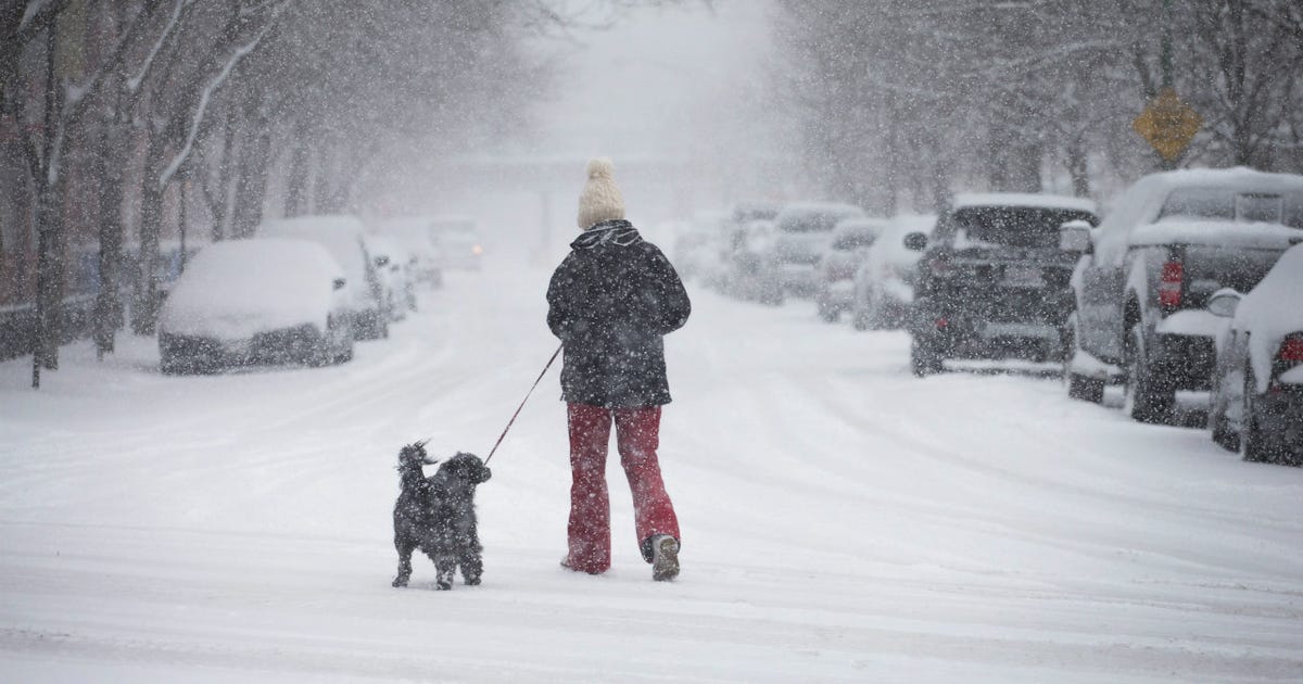
Chicago faces a winter tilted toward warmth as a potentially historic El Niño tightens its grip on the Pacific, NOAA’s Climate Prediction Center confirmed Thursday.
The updated outlook covering December through February gives the Great Lakes region a greater than 50 percent probability of above-normal temperatures, a pattern that typically starves the northern U.S. of prolonged Arctic outbreaks by shoving the jet stream southward. The center also flags an increased chance of below-normal precipitation across parts of the lakes, though forecasters caution that does not guarantee a lack of snow.
Sea surface temperatures in the central and eastern equatorial Pacific are running roughly 4 degrees Fahrenheit above normal, and the Climate Prediction Center puts the odds at about 60 percent that this El Niño will reach historically exceptional strength, potentially rivaling the strongest events since 1950.

“What we are seeing is that the El Niños are even more extreme because of climate change and because we are seeing an overall warming pattern already,” said Kristen Maleck of the University of Illinois Chicago’s Center for Extreme Conditions and Health Excellence. “The extremes from climate are making the El Niños more dramatic.”
Fall heat wave set the stage
The winter forecast arrives on the heels of a remarkably mild autumn. September tied for Chicago’s 10th-warmest on record at 3.8 degrees above normal, and October matched the sixth-warmest, according to NOAA records. CBS News noted the Climate Prediction Center had already leaned toward above-average temperatures in an earlier outlook released October 15.
Snowfall: the wildcard
Chicago averages about 38 inches of snow per season. Historical analogs for strong El Niño winters lean toward below-average snowfall, but the relationship is imperfect. The National Weather Service in Chicago told CBS News its current thinking points to roughly average precipitation overall, yet warmer temperatures could flip a portion of that to rain or a wintry mix, suppressing snow totals even if moisture arrives.
Lake-effect snow remains a local variable no seasonal outlook can resolve. A single band off Lake Michigan can drop a foot of snow in a neighborhood while the airport sees flurries, a nuance the Climate Prediction Center explicitly does not attempt to forecast.
What the models still cannot see
Seasonal outlooks describe the aggregate pattern across three months, not individual storms. Even in a warm winter, the polar vortex can dislodge for a week, or a Colorado low can track just far enough north to bury the city. The bottom line from every outlet: a warmer-than-average winter does not mean a snow-free winter, and significant storms remain possible.
NOAA was formed on October 3, 1970, consolidating agencies that included the Weather Bureau of 1870 and the Coast and Geodetic Survey founded in 1807. It was placed in the Department of Commerce rather than Interior because of a dispute between President Nixon and his interior secretary, Wally Hickel.
The next update from NOAA’s Climate Prediction Center is scheduled for November 19, when the Pacific signal and the early winter pattern will be clearer.
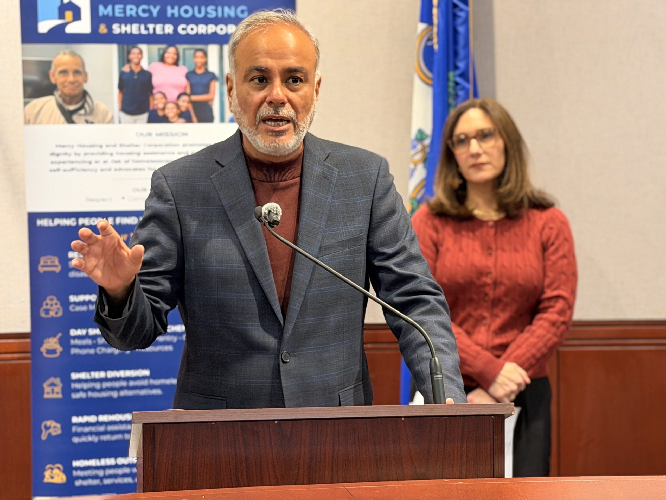
Study: 82% of Older Unhoused Adults in Hartford Show Cognitive Impairment
The numbers out of Hartford are staggering: 82 percent of unhoused people aged 53 and older screened in...
Daniel Souza Scores for Missouri State in ESPN Video Clip
Daniel Souza found the back of the net for Missouri State on Tuesday, a moment clipped and distributed...
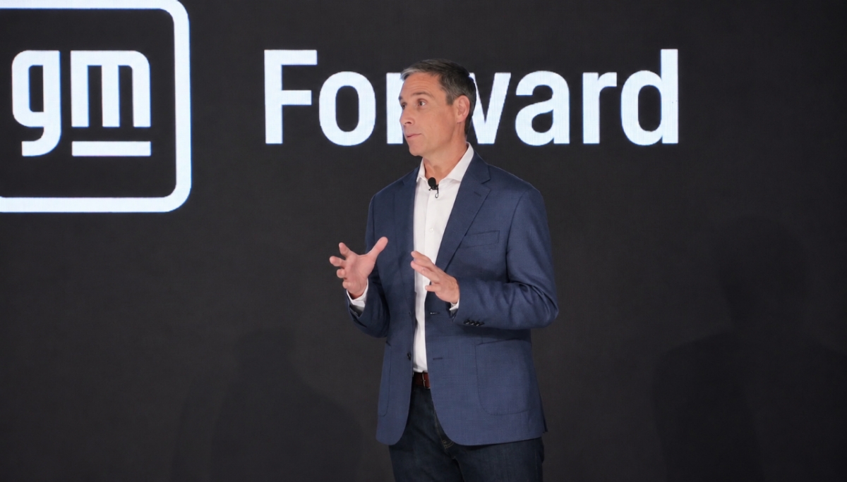
GM Will Open 43,000-Sq-Ft Seattle Tech Hub in Denny Triangle in Early 2027
General Motors will open a 43,000-square-foot Seattle tech hub in Denny Triangle in early 2027. "The opportunity is...

Mississippi State to Host Samford in NCAA Tournament Soccer First Round
Mississippi State will host an NCAA Tournament soccer match for the fifth straight year when Samford visits Starkville...