Chilly Cheyenne weekend awaits before a midweek Thanksgiving warmup arrives.
The National Weather Service in Cheyenne reported a chilly, breezy weekend for Cheyenne and Laramie County, with little chance of measurable snowfall before temperatures climb into the upper 40s and low 50s ahead of Thanksgiving.
This weather pattern affects local travel and planning across the region, meaning those relying on clear roads for holiday travel should watch conditions closely, as dry air kept most early Saturday precipitation from reaching the ground, meteorologists said in a 3:55 a.m. forecast discussion.
Heavier snow shower activity won’t hit Laramie County directly, but Carbon County and areas along the U.S. Highway 20 corridor could see quick-hitting snow showers, potentially dropping a dusting to 2 inches of snow, which would rapidly reduce visibility for travelers.
those areas could see quick-hitting snow showers or localized snow squalls capable of dropping a dusting to 2 inches of snow and rapidly reducing visibility for travelers. Converse County. Forecasters
Once the upper-level system clears Saturday evening, surface high pressure settles over southeast Wyoming, bringing a cold Sunday morning where daytime highs across Laramie County and the surrounding region will only reach the upper 30s to lower 40s.
Cool conditions linger through the start of the workweek as increasing cloud cover and an entrenched surface high keep temperatures suppressed on Monday, though a weak Pacific system might bring light snow to the mountains Monday night into Tuesday morning, leaving lower elevations around Cheyenne largely dry.
Sunshine returns Tuesday with chilly daytime highs, but by Tuesday night, breezy westerly winds pick up, with the probability of high winds rising between 30% and 40% according to the National Weather Service in Cheyenne.
A high-pressure ridge is forecast to rebuild over the region Wednesday, initiating a warming trend that pushes afternoon highs into the mid-40s to low 50s through the end of the week, which is a shift from Sunday’s upper 30s.
Weather models disagree on the track of the next system heading into Thanksgiving Day on Thursday, affecting regional forecasts for Friday.
One primary forecast model keeps the storm track far to the south, suggesting dry, warm weather and lighter winds for southeast Wyoming through Friday, while another major model places the system closer to the state, bringing a chance of light snow showers Wednesday night and a heightened potential for high winds across southeast Wyoming on Thursday and Friday.
For ranchers and small business owners in Laramie County, the immediate impact is managing short-term cold snaps before the anticipated midweek thermal amelioration, a critical factor in early holiday operational planning.
The devil’s advocate perspective suggests that while the warming trend is welcome, the localized, sharp weather variability—from Sunday’s 37 degrees to Wednesday’s 49 degrees—requires more robust resource management than a steady progression would.
The National Weather Service in Cheyenne provided the foundational data detailing these atmospheric shifts, a resource available through their official site here.
Forecasters said that the localized snow shower activity was confined well north and west of Laramie County, specifically mentioning Converse County in relation to the U.S. Highway 20 corridor shows the difference between regional and hyper-local climate impacts.
“Forecasters noted those areas could see quick-hitting snow showers or localized snow squalls capable of dropping a dusting to 2 inches of snow and rapidly reducing visibility for travelers.”
The sequence of temperature shifts shows a distinct dip, followed by a climb, which contrasts with a sustained cold front scenario, a pattern visible across the forecast period.
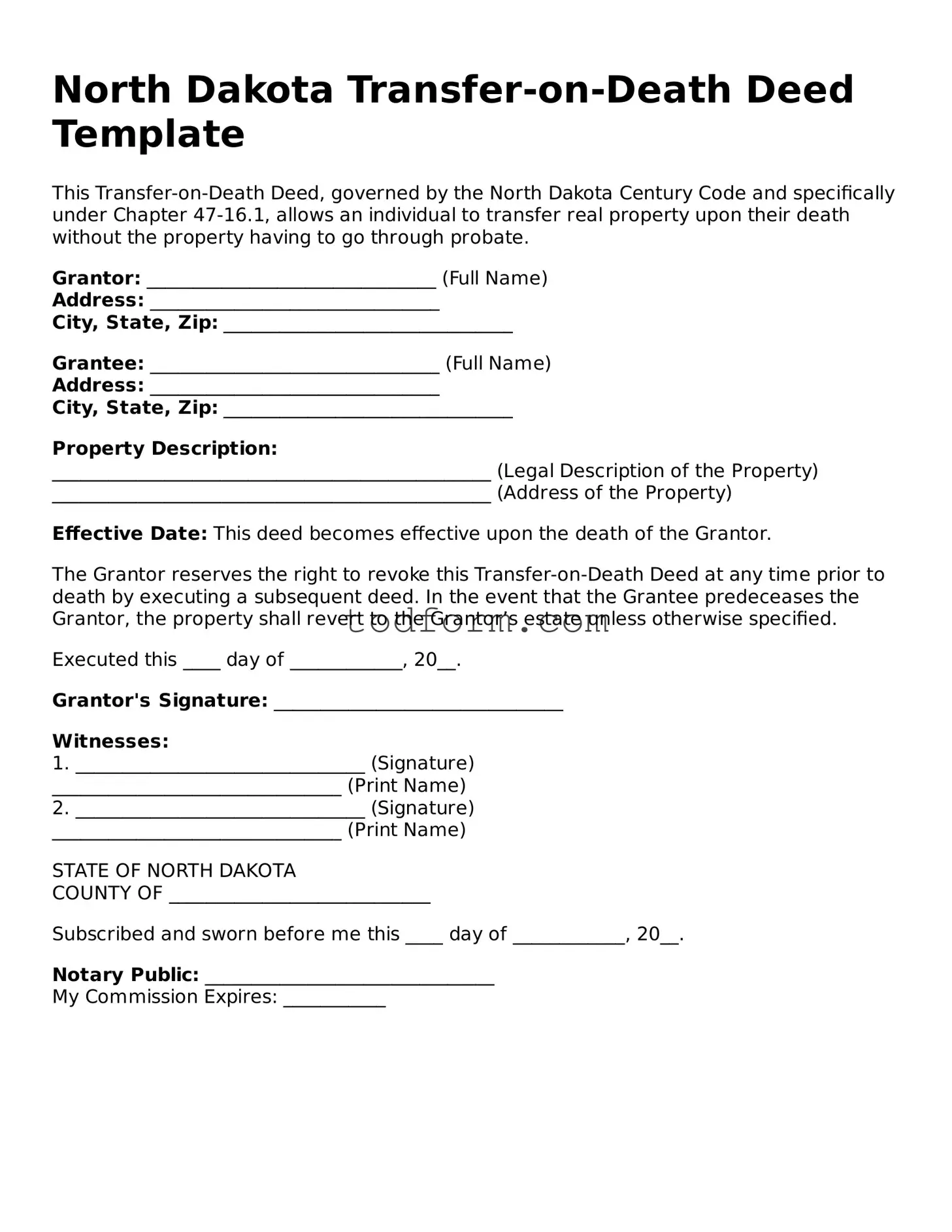
Cass County North Dakota Sole Owner Transfer On Death Deed Primary And Alternate Beneficiary
Cass County property owners can now utilize a specific Transfer on Death Deed designed for sole owners to...

Pierre-Paul Henrie continues as Managing Partner at Norton Rose Fulbright Ottawa
As of November 21, 2026, Pierre-Paul Henrie continues to anchor the Ottawa office of global law firm Norton...
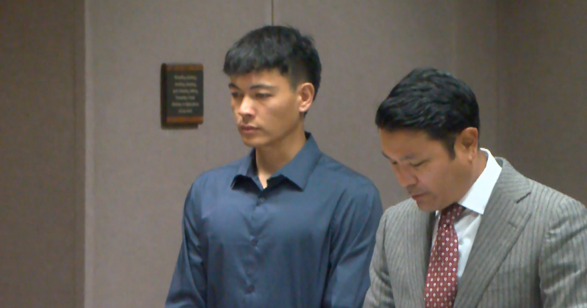
Jonah Moya Pleaded No Contest to Negligent Homicide for Ewa Beach Crash
Jonah Moya, 22, pleaded no contest Friday to two counts of second-degree negligent homicide for the March 2024...

Book At-Home Nail Care In 28 Idaho Cities With HereSpa
HereSpa now lists mobile nail care in 28 Idaho cities, from Boise to Kuna, with pricing that shifts...