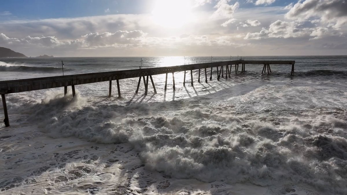
California’s coast is bracing for a collision of forces that could rewrite the shoreline this winter, as an exceptionally strong El Niño stacks record-high sea levels against the year’s highest astronomical tides.
The first of three king tide windows arrives Sunday and runs through Black Friday, November 24 to 26, with even higher peaks forecast for December 23 to 25 and January 21 to 22. Those tides will ride on a baseline already lifted by human-caused warming and a marine heat wave that has pushed ocean temperatures more than 10 degrees Fahrenheit above average off San Diego, Santa Barbara, and the Farallon Islands.
“We’ve never seen water levels this high” in San Diego, said Mark Merrifield, an oceanographer at the University of California, San Diego, during a recent press briefing. Thermal expansion from that heat has added six to 20 inches to local sea levels, depending on location, on top of the four to nine inches of background rise accumulated over the last century.
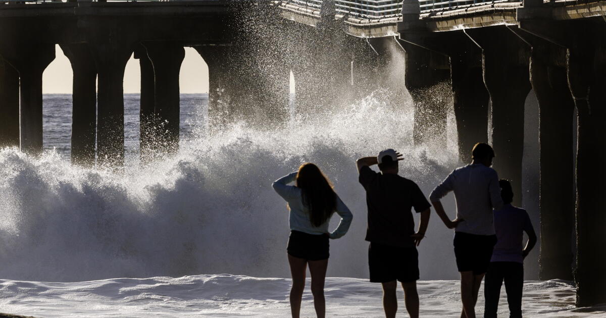
“I’m almost at a loss for words because it’s more than 10 degrees Fahrenheit warmer than average in places like San Diego, Santa Barbara, even Monterey Bay—the Farallon Islands, for crying out loud,”
The stacking effect
Scientists describe a “stacking” of threats. First, global sea-level rise has permanently elevated the floor. Second, Kelvin waves — massive pulses of warm water migrating north from the equatorial Pacific — have supercharged a marine heat wave, causing thermal expansion that Merrifield said has produced record-breaking water levels at gauges across Southern California. Third, the king tides arrive as the gravitational cherry on top.
The first atmospheric river of the season slammed Northern California on Wednesday, dumping 2.64 inches of rain on San Francisco — breaking a 108-year-old record for November 18 — and 2.04 inches on San José, toppling a 76-year mark. More than 51,000 PG&E customers lost power, and waist-high water stranded cars on Bay Area freeways.
That storm arrived between king tide peaks. The fear is what happens when the next atmospheric river coincides with the November 24–26 window, or the higher December and January cycles.
Ghost of 1983
The template for disaster is the winter of 1982–83. Early storms that December hit during low tides, “but they occurred at the lowest tides of the month,” said Reinhard Flick, a researcher at Scripps Institution of Oceanography at UC San Diego. “There was some damage, and there was a bunch of erosion. So it basically softened the coast up.”
Then, in late January 1983, 13-foot waves slammed the coast at the year’s highest tides. “That’s when all hell broke loose,” Flick said. The result was the worst Southern California coastal flooding in decades: millions in damage, shattered piers in Santa Monica, Seal Beach, and San Diego, and flooded homes from Malibu to Redondo Beach. The wooden Scripps Pier in La Jolla was destroyed and replaced with concrete.
“This is, for me, the key to what happens during these El Niño years when you have a high water level, big waves and big tides all occurring at the same time,” Flick said. “That’s when the damage and the flooding and the beach erosion is the worst.”

Already breaking
The damage isn’t waiting for the king tides. In late October, moderately high tides combined with record ocean warmth pushed seas 1.4 feet above expected levels in San Diego, 1.3 feet in Los Angeles, and 1.1 feet in San Francisco, according to NOAA data.
All-time maximum sea level records fell at Los Angeles, San Diego Bay, Santa Barbara, and La Jolla. At the San Pedro gauge in Los Angeles, the water hit 8.19 feet on October 27, breaking the 2005 El Niño record of 7.93 feet.
Sea surface temperature at Scripps Pier hit 75.4 degrees on Halloween — 11.1 degrees above the historical average and hotter than the highest average temperature for the entire year. That heat is expected to persist through spring.
In Huntington Beach alone last week, 114 homes and structures took on seawater, mostly in Sunset Beach and Huntington Harbour. Pacific Coast Highway flooded. In Marin County, bayside communities saw up to two feet of flooding, state officials said. Highway 1 has been undermined in Orange and Ventura counties.
The numbers ahead
Merrifield’s modeling shows the San Diego area faces 25 days before year-end with sea levels above the normal king tide threshold, and 10 days above the October flood level — without a single storm factored in. Add a storm surge, and the math turns catastrophic.
| Gauge Location | Sea Level Anomaly (Late Oct) | Record Status |
|---|---|---|
| San Diego | +1.4 feet | All-time maximum shattered |
| Los Angeles (San Pedro) | +1.3 feet | 8.19 ft — new all-time record (prev. 7.93 ft, 2005) |
| San Francisco | +1.1 feet | All-time maximum shattered |
| Santa Barbara | Data not specified | All-time maximum shattered |
| La Jolla | Data not specified | All-time maximum shattered |
Inland reach
The threat extends past the beaches. Swain warned that king tides will push water into bays and estuaries, flooding low-lying infrastructure far from the surf line — wastewater treatment plants, highways, and neighborhoods built on reclaimed wetlands.
Richardson, a coastal hydrologist at UC Santa Cruz, said that 80 percent of California’s coastal erosion occurs during El Niño winters. She advises residents to check sump pump backup power, collect sandbags where communities offer them, and understand their specific exposure — beachfront versus estuary — before the November 24 window opens.
Whatever the coming months bring, they will also serve as “a preview of what’s ahead of us,”
The Farallon Islands, 30 miles outside the Golden Gate, are part of the City and County of San Francisco and host the only inhabited area on Southeast Farallon Island, where researchers from Point Blue Conservation Science and the U.S. Fish and Wildlife Service stay.
The islands were first recorded by Sir Francis Drake on July 24, 1579, who landed to collect seal meat and bird eggs, naming them the Islands of Saint James. A lighthouse was constructed on Southeast Farallon Island beginning in 1853.
The next atmospheric river is forecast to arrive Thursday. The first king tide peak begins Sunday.
- Iowa, Illinois Lawmakers Demand Delay of Army Lead Azide Detonation; Grassley Says Blast Delayed
- Kelly Jenkins and Kayleigh Favor Recovered After Thorne River Crash
- Credit Card Debt Hits Record $1.29 Trillion but Trails 2008 After Inflation (daybreakwire.com)
- Anthropic shares close 17% higher after record $107bn IPO (newsarchyuk.com)
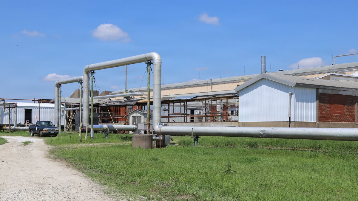
Iowa, Illinois Lawmakers Demand Delay of Army Lead Azide Detonation; Grassley Says Blast Delayed
"We call on you to consider delaying this detonation until there is an opportunity to explore safer alternatives,"...

Kelly Jenkins and Kayleigh Favor Recovered After Thorne River Crash
Rescue crews on Prince of Wales Island recovered the bodies of a woman and a teenager Wednesday from...

No. 15 Minnesota Duluth beats Michigan Tech 80-58
Minnesota Duluth handed Michigan Tech its first loss of the season Thursday, an 80-58 decision that dropped the...
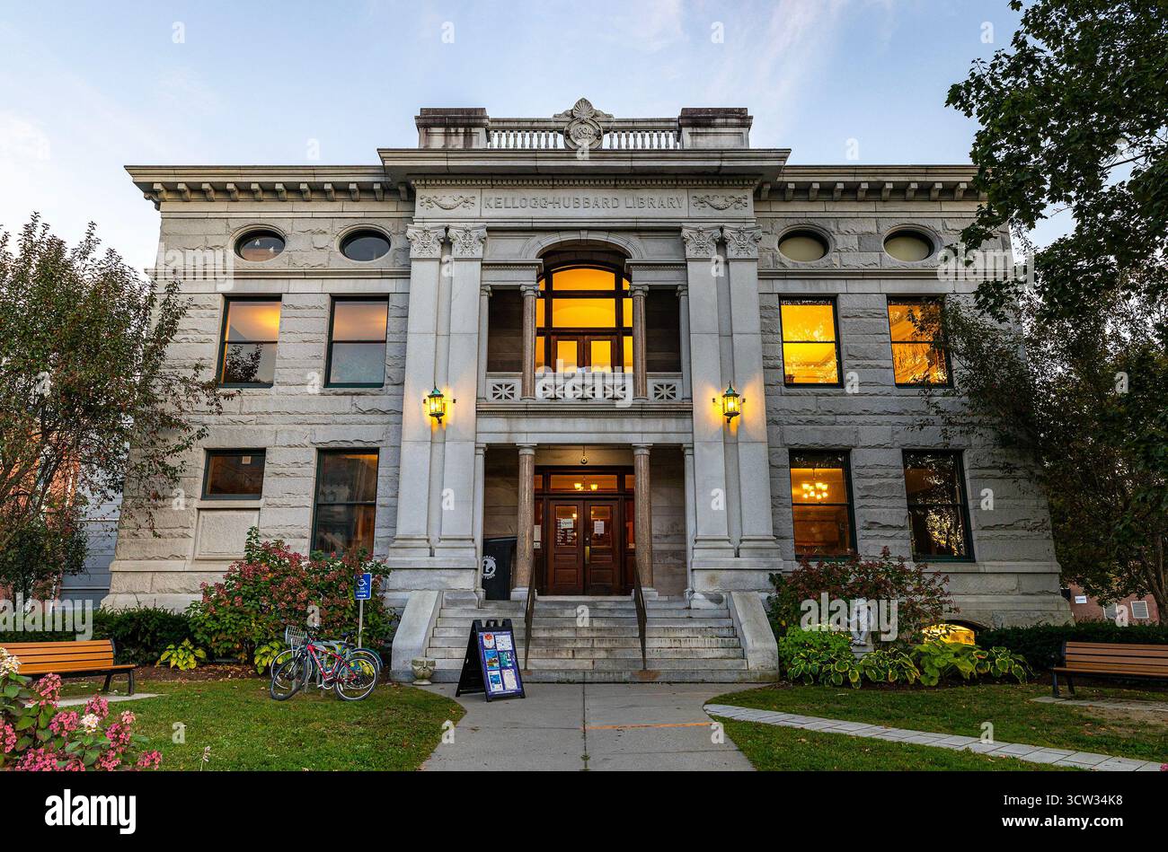
Montpelier-Harrison Township Public Library Has 437 Cardholders, Federal Data Shows
The Montpelier-Harrison Township Public Library serves a population of 2,353 people in Blackford County, Indiana, yet reported only...