
The highest reported total was in Hartwick, Otsego County, where 12.5 inches fell by 10:30 p.m. Thursday, Nov. 12. More than a dozen other communities in Otsego County recorded between 6 and 12 inches.
Snow continued in parts of the state early Friday, Nov. 13, prompting winter weather alerts across several counties. The National Weather Service’s active watches, warnings and advisories for the region showed a Winter Storm Warning remained in effect for Otsego County, including Oneonta, until 1 p.m. Friday.

The weather service reported that 6 to 12 inches had already accumulated above 1,500 feet in Otsego County, with up to 2 additional inches expected. Heavy, wet snow stuck to trees in the area, contributing to power outages and creating slippery conditions for the Friday morning commute.
| Location | County | Snowfall (Inches) |
|---|---|---|
| Hartwick | Otsego | 12.5 |
| Burlington | Otsego | 12 |
| Exeter Center | Otsego | 12 (Note: source lists 11.5) |
| Westford | Otsego | 11 |
| Cherry Valley | Otsego | 10 |
| Jefferson | Schoharie | 8.5 |
| North Norwich | Chenango | 8 |
| Sherburne | Chenango | 8 |
| Middleburgh | Schoharie | 8 |
| Westerlo | Albany | 7.3 |
Additional accumulation figures varied across neighboring regions. Winter Weather Advisories were issued for Chenango and Delaware counties until 1 p.m. Friday, alongside a Western Essex County advisory that ran until 10 a.m. Friday for elevations mainly above 1,200 feet.
According to the National Weather Service Albany forecast discussion, rain changed to snow early Friday, with precipitation tapering off from north to south by late morning or early afternoon. The agency forecast 2 to 5 inches for Schoharie County and the eastern Catskills, with localized amounts of 6 to 7 inches in the highest elevations.
Meanwhile, the Binghamton forecast office said that lighter snow showers would linger Friday, with lake-effect precipitation developing in the afternoon and continuing through the weekend. Narrow bands near the Cortland Hills could produce around an inch or slightly more.
To the south, AccuWeather reported that the system brought rain to New York City, where accumulation was not expected. Areas north and west of the city saw some wet snow, while the Catskills received 1 to 3 inches.
Climate data gathered from 1991 to 2020 at Central Park in Manhattan show that New York City normally averages 11.4 days of snowfall per year totaling 29.8 inches, while 10-year averages from 2010 to 2019 record 8.1 days with 36.9 inches.
Normal seasonal patterns place the first snowfall in December, although rare early snowfalls can occur in November, and an exceptional storm on Oct. 29, 2011, dropped 2.9 inches. On average, the city experiences about seven days per year with at least an inch of snow, one to two days with over five inches, and rare major blizzards exceeding ten inches.


Ari Emanuel Blames Pete Buttigieg for FAA Ground Stop
On Friday, November 13, 2026, the U.S. Federal Aviation Administration ordered a nationwide ground stop that affected more...
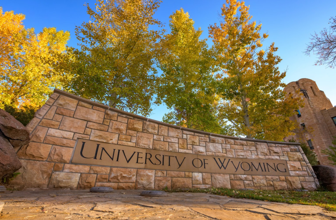
University of Wyoming Saves $45,000 Annually With FormFusion E-Billing
The University of Wyoming saves approximately $45,000 annually after replacing printed mailouts with electronic billing. Before the change,...

Brewers Lose Jake Bauers to Red Sox in $58 Million Deal
First baseman Jake Bauers is leaving the Milwaukee Brewers to sign a four-year, $58 million contract with the...

No. 24 West Virginia Defeats Northwestern 66-53 After Late Run
Northwestern pushed No. 24 West Virginia deep into the fourth quarter before a late 15-2 run sealed a...