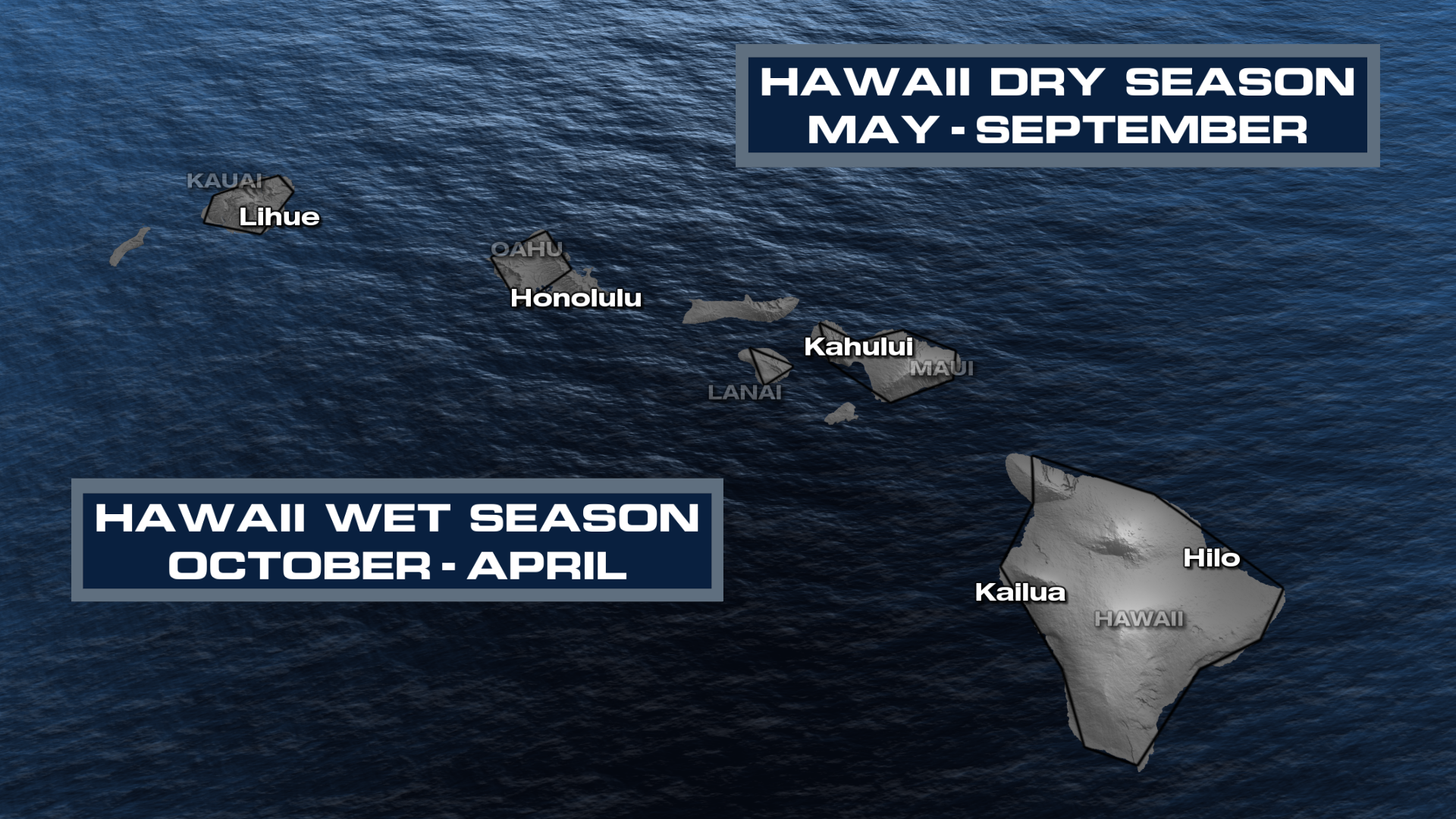
Hawaii records wettest start to a year on record
Hawaii has experienced its wettest first nine months of the year in the 36-year statewide climate record, according to data from NOAA’s National Centers for Environmental Information (NCEI), WeatherNation reported.
The islands have faced an exceptionally soaked 2026. From January through September, the state averaged 86.66 inches of precipitation, a figure that nearly doubles the normal amount for that period.
This total represents a massive 42.70-inch surplus above the historical average. The deluge was particularly intense in September, when the islands saw an average of 10.83 inches of rainfall statewide.
That September total was more than twice the typical monthly rainfall and stands as the second-wettest September in the 36-year record. Much of this recent moisture can be attributed to the influence of Hurricane Lowell.
El Niño threatens to shift rainfall patterns
Despite the historic deluge seen so far this year, a strengthening El Niño could pivot Hawaii toward a significantly drier pattern as the islands enter their traditional wet season.

El Niño is a natural climate phenomenon defined by unusually warm ocean temperatures in the central and eastern equatorial Pacific. These temperature shifts alter atmospheric circulation, which in turn moves tropical rainfall patterns across the globe.
For the Hawaiian Islands, El Niño winters typically bring below-normal rainfall. This trend is most pronounced during the latter half of the state’s wet season, which generally spans from October through April.
The timing of this shift is critical because the islands are just beginning that seasonal cycle. While the first three quarters of 2026 were defined by extreme moisture, the upcoming months may tell a different story.
On Saturday, the Hawaiian Humane Society trudged through floodwaters to rescue pets that had been stranded. They've also been dropping off pet food to shelters. More heavy rain is expected on the Hawaiian Islands throughout the week.#HIwx pic.twitter.com/kmQBEVCVnh
The stakes for water and infrastructure
The transition from extreme wetness to potential dryness could affect the state's stability. Rainfall is the lifeblood of Hawaii’s water supply, agriculture, and local ecosystems.
The massive rainfall surplus seen throughout 2026 has helped replenish water resources and mitigate existing drought conditions. However, the sheer volume of water has also presented physical risks.
- Increased risk of flash flooding
- Higher potential for landslides
- Potential for significant infrastructure damage
Conversely, if the El Niño pattern takes hold and prevents the expected seasonal rains, the state could face new concerns regarding rainfall deficits. The recent surplus does not guarantee that the landscape will remain protected from future drought if the dry pattern persists through the wet season.
Forecasted precipitation levels for 2026
Current guidance from NOAA suggests that the islands are likely to see a transition away from the extreme weather experienced earlier this year. The agency’s winter outlook favors below-normal precipitation across Hawaii from December through February.
The November outlook also points toward drier-than-normal conditions statewide. This suggests the beginning of a shift in the weather cycle as the El Niño influence strengthens.
The next several months will serve as a deciding factor for the state’s water security. Meteorologists will be watching to see if the islands can maintain their current substantial rainfall surplus or if the strengthening El Niño will begin to chip away at it.
While the 2026 rainfall figures are already etched into the climate record books, the long-term impact on Hawaii's water resources is uncertain.

Storm System to Bring Gusty Winds and Colder Weather to South-Central Kentucky
A new storm system is expected to bring scattered showers and gusty winds to South-Central Kentucky on Wednesday...

Indiana Beats Syracuse 83-80 as Backcourt Trio Carries Hoosiers
Indiana backcourt carries Hoosiers past Syracuse Markus Burton, Jaeden Mustaf, and Darren Harris combined for 58 points to...

Atlanta Braves Face Rotation Uncertainty With Aging Veterans and Prospects
Atlanta faces rotation crossroads The Atlanta Braves enter the 2026 offseason with a starting rotation featuring both elite...

Air Force Veteran Shaina Kesti Pursues Robotics to Help Veterans
Shaina Kesti is trading her Air Force uniform for a computer engineering degree at Florida Polytechnic University. After...