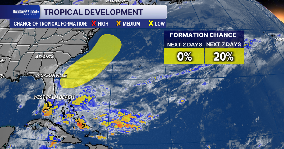
ORLANDO, Fla. — With less than two weeks remaining in the 2026 hurricane season, an area of low pressure taking shape near the northern Bahamas carries a chance for subtropical or tropical development as it drifts north, WKMG reported.
The non-tropical low near the Bahamas could become a subtropical or tropical storm while moving northward near or offshore the southeast U.S. coast. The National Hurricane Center gives the future disturbance a 50% chance of tropical development, according to WKMG, while another report notes a 20% chance of developing in the next 7 days.
Born out of a weather pattern bringing a serious flash flood threat to Florida’s east coast, the system is expected to prompt hurricane hunter aircraft to investigate the disturbance Friday afternoon.
Regardless of development, the system will bring strong winds, dangerous surf, and coastal saltwater flooding to parts of Florida. Depending on the track of the system, additional freshwater flooding may be possible Saturday.
The Gulf Coast Hurricane Tracking Team is closely monitoring the area off the southeastern U.S. coast, noting that the disturbance poses no direct threat to the Gulf Coast, though it will bring heavy rain and a flooding threat to Florida’s Atlantic Coast.
As the low tracks north, the system will help pull moisture away from Florida, allowing drier weather to return and bringing relief to East Coast communities that experienced devastating flooding. If the disturbance develops into a subtropical or tropical storm, the next name on the 2026 hurricane season list is Kyle. The 2026 hurricane season concludes Nov. 30.
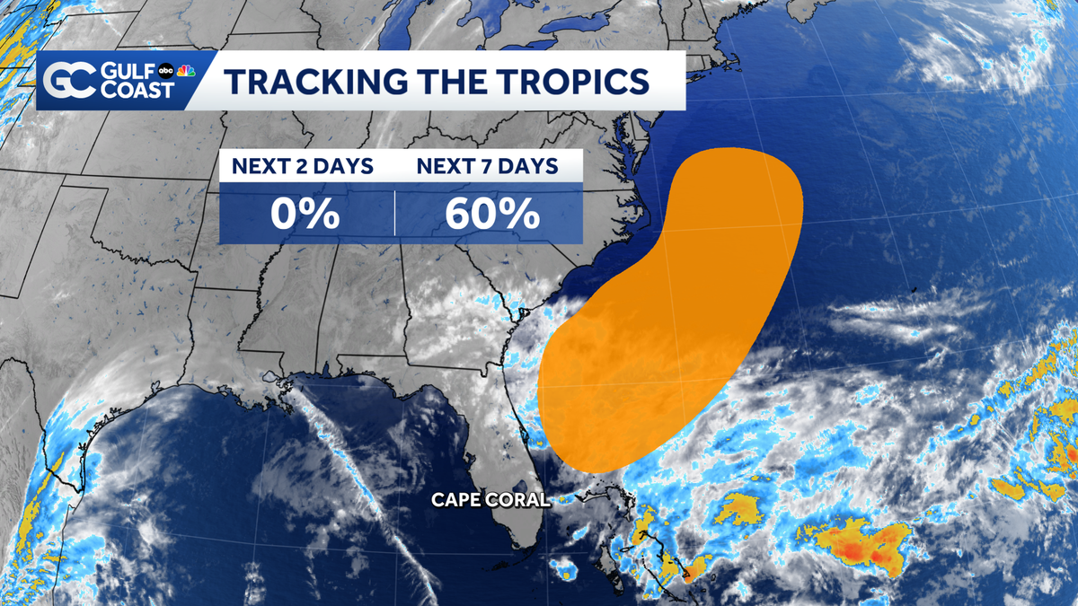
It remains unconfirmed exactly how the system will track as it moves into the Atlantic by the weekend and whether it will ultimately achieve subtropical or tropical classification before the hurricane season ends.
Related reading
Kalshi Market Predicts if Trenton Temp Stays Below 61°F on Nov 19, 2026
Prediction markets are weighing whether the maximum temperature recorded at Trenton will stay below 61 degrees Fahrenheit on...

Kameron Pratt Challenges Nevada Attorney General Dual Role
Facing six felony counts of sexual abuse of a prisoner, Nevada Department of Corrections employee Kameron Pratt now...

Manchester Students Can Support Grassroots Music Venues, Mancunion Reports
Manchester stands globally recognized for birthing legendary acts like Oasis, Joy Division, The Smiths, and The Stone Roses,...

Nebraska Volleyball Completes 28-0 Regular Season, Focuses on Postseason
Nebraska volleyball secured a 28-0 record on Tuesday, Nov. 17, 2026, defeating No. 18 Minnesota 3-1 at the...