
Parts of northern Michigan are bracing for the first snowfall of the season as a rain-snow mix moves through the region on Friday, Nov. 6. While higher elevations in Marquette and Baraga counties may see accumulating flakes, the majority of the state will experience only rain or clear conditions, with no snow accumulation expected in Metro Detroit.
The Path of the Season’s First Snow
The transition toward winter weather began late Thursday night, as a rain-snow mixture moved into northern Michigan. According to reporting from WDIV ClickOnDetroit, the system is expected to persist through midday Friday across portions of the northern Lower Peninsula. While the precipitation is moving through, the National Weather Service (NWS) offices in Marquette and Gaylord have clarified that the impact will be highly localized.
For those in the Upper Peninsula, the precipitation is expected to gradually diminish throughout Friday morning. The primary concern for residents in the higher terrain of Marquette and Baraga counties involves potential slush or light accumulation on surfaces. The NWS Marquette office has indicated that some residents in these specific high-elevation pockets may need to break out their snow brushes before heading out on Friday morning.

Wind Chills and Regional Disparities
Beyond the immediate risk of flakes, the system is bringing a sharp reminder of the approaching winter cold. Gusty winds are forecasted to push wind chills into the 20s across parts of northern Michigan throughout the morning hours. It is a common misconception that low wind chills trigger snow; however, the NWS clarifies that wind chills do not dictate whether precipitation falls as rain or snow. The freezing point of the atmosphere remains the governing factor for the type of precipitation reaching the ground.
The experience for those in Southeast Michigan stands in stark contrast to the northern counties. Despite the cold air moving through the northern half of the state, Metro Detroit remains insulated from the wintry mix. Rain is expected to be the sole precipitation type for the region, with no snow accumulation forecasted for the Detroit metropolitan area or the surrounding southeastern counties.
Historical Context of Early November Snow
The arrival of snow in early November is a standard, if often unwelcome, marker of the shifting season in Michigan. Historically, the state’s geography plays a massive role in these early-season events. The higher elevations of the Upper Peninsula frequently act as the first “catchment” for cooler air masses moving across the Great Lakes, leading to localized snowfall long before the southern regions see a single flake.
For context, the National Weather Service Marquette maintains historical data on these patterns, noting that while the first snowfall of the season often occurs in early November, the intensity varies wildly depending on the specific track of the low-pressure system. Residents in the affected northern counties are encouraged to monitor local updates as road conditions in higher elevations can change rapidly when temperatures hover near the freezing mark.
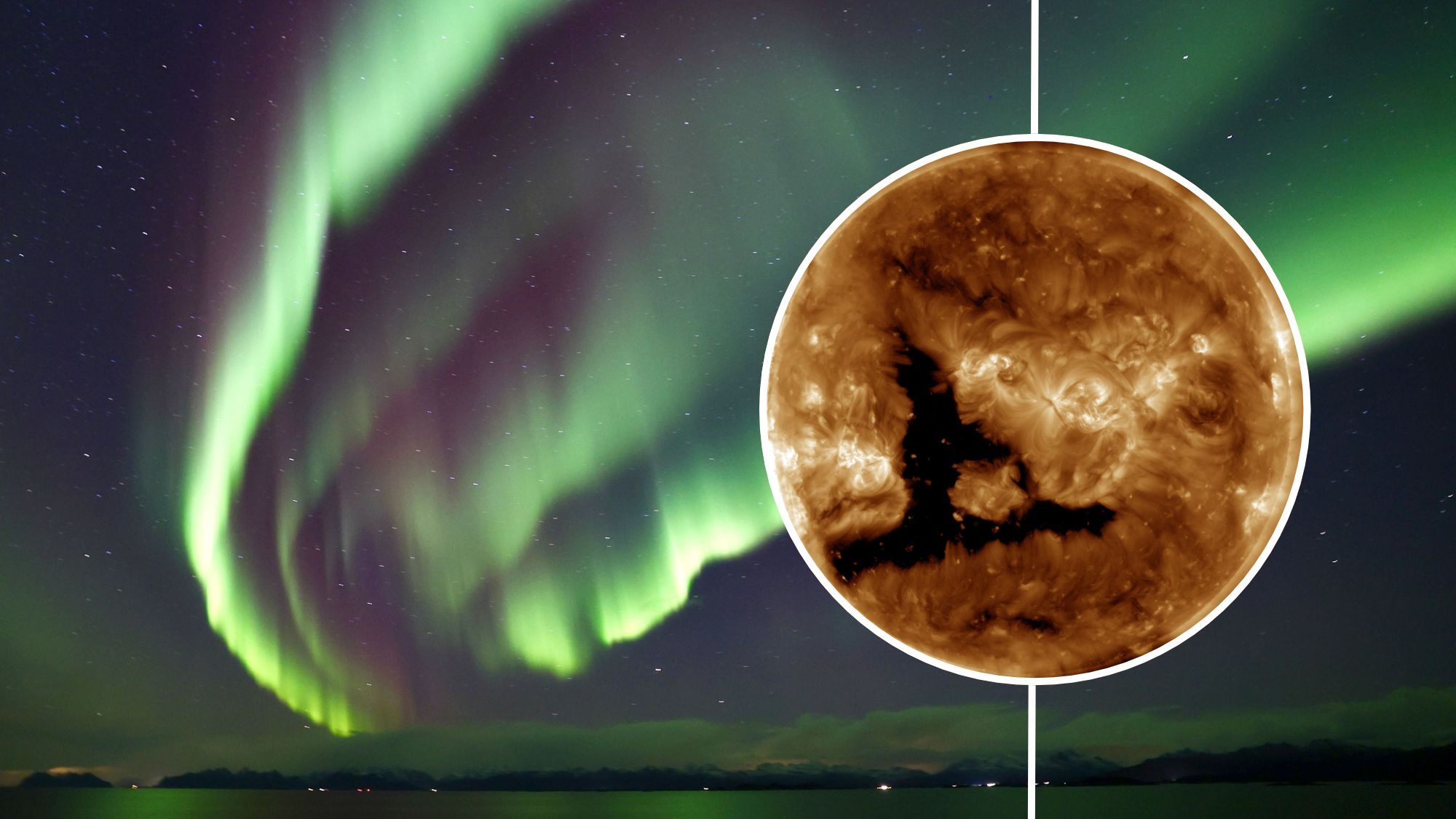
Northern Lights Forecast: Solar Storm Could Bring Auroras to New York and Idaho This Weekend
Solar Wind Speeds Threaten to Push Auroras South If you find yourself looking at the northern horizon this...

2023 Hyundai Santa Fe SEL Features Low Mileage at Galleria BMW
2023 Hyundai Santa Fe SEL Market Analysis in Mississippi Galleria BMW has listed a 2023 Hyundai Santa Fe...
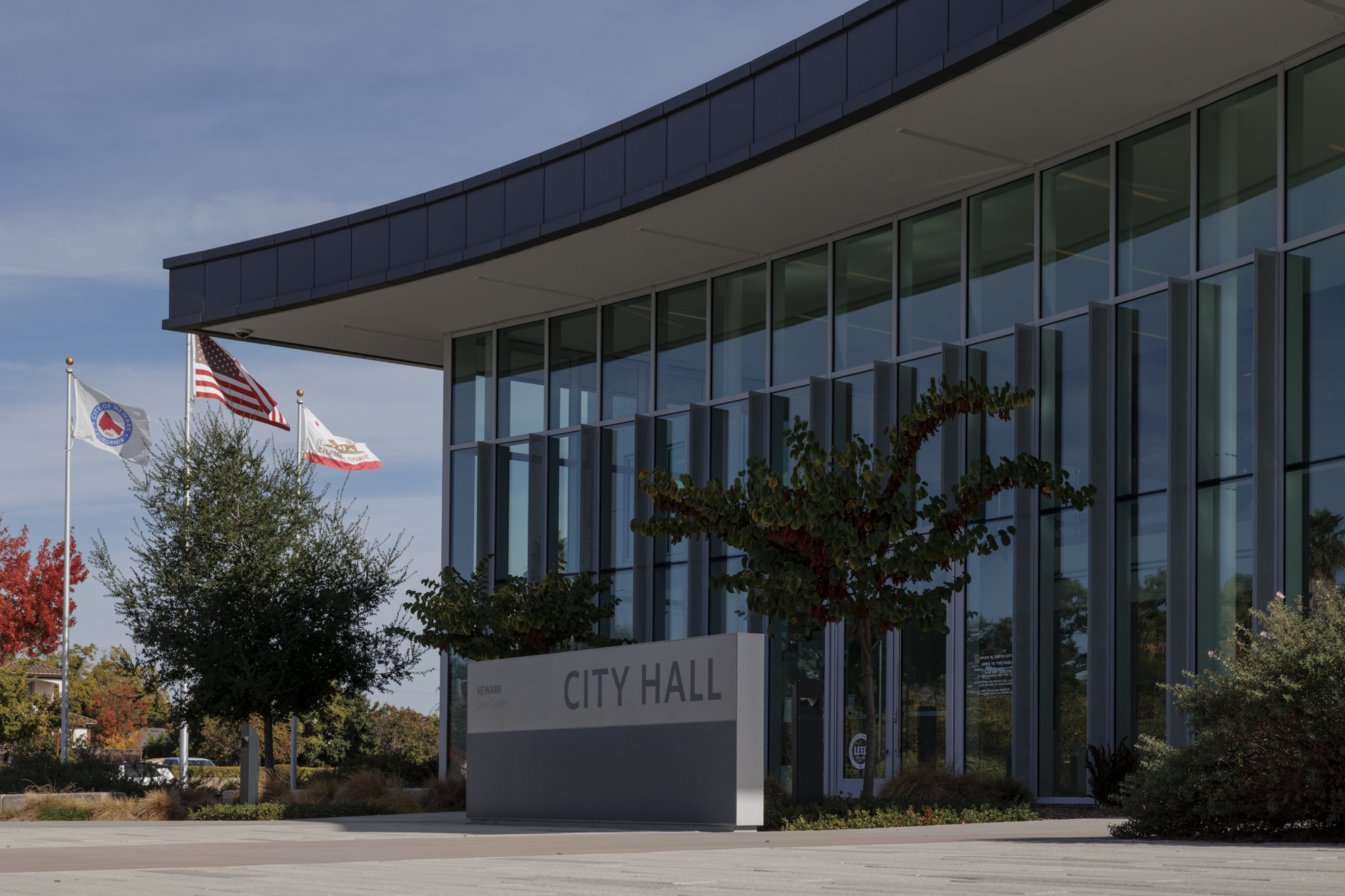
Fremont Woman Rosario Lopez Charged in Assault of Newark Councilmember
Fremont Woman Charged Following Assault on Newark Councilmember The Alameda County District Attorney’s Office has filed a felony...

Nevada Barracudas and Seneca face off in high school football playoffs
Nevada and Seneca Face Off in High-Stakes Playoff Clash The tension on the field this November 6, 2026,...