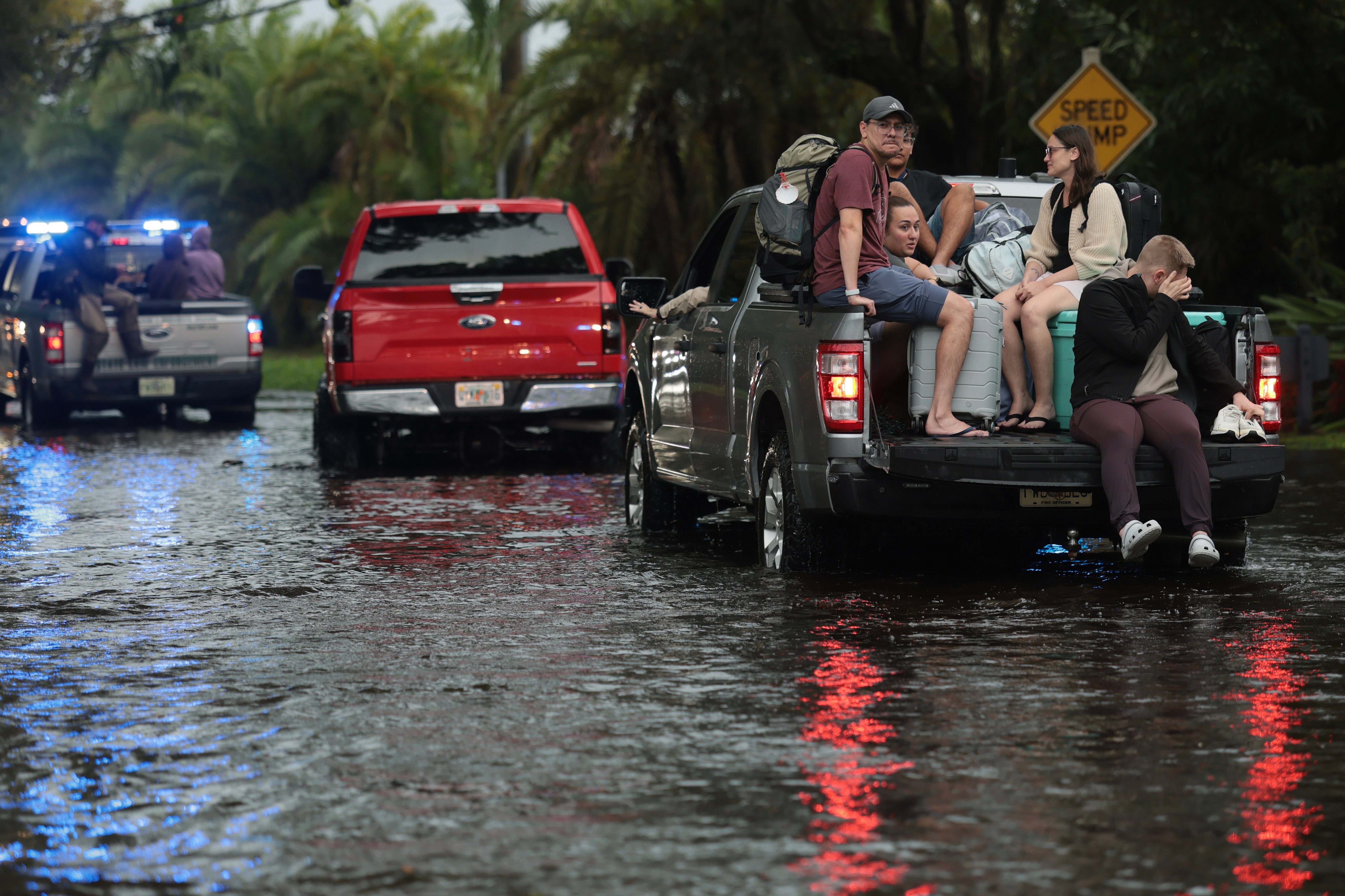
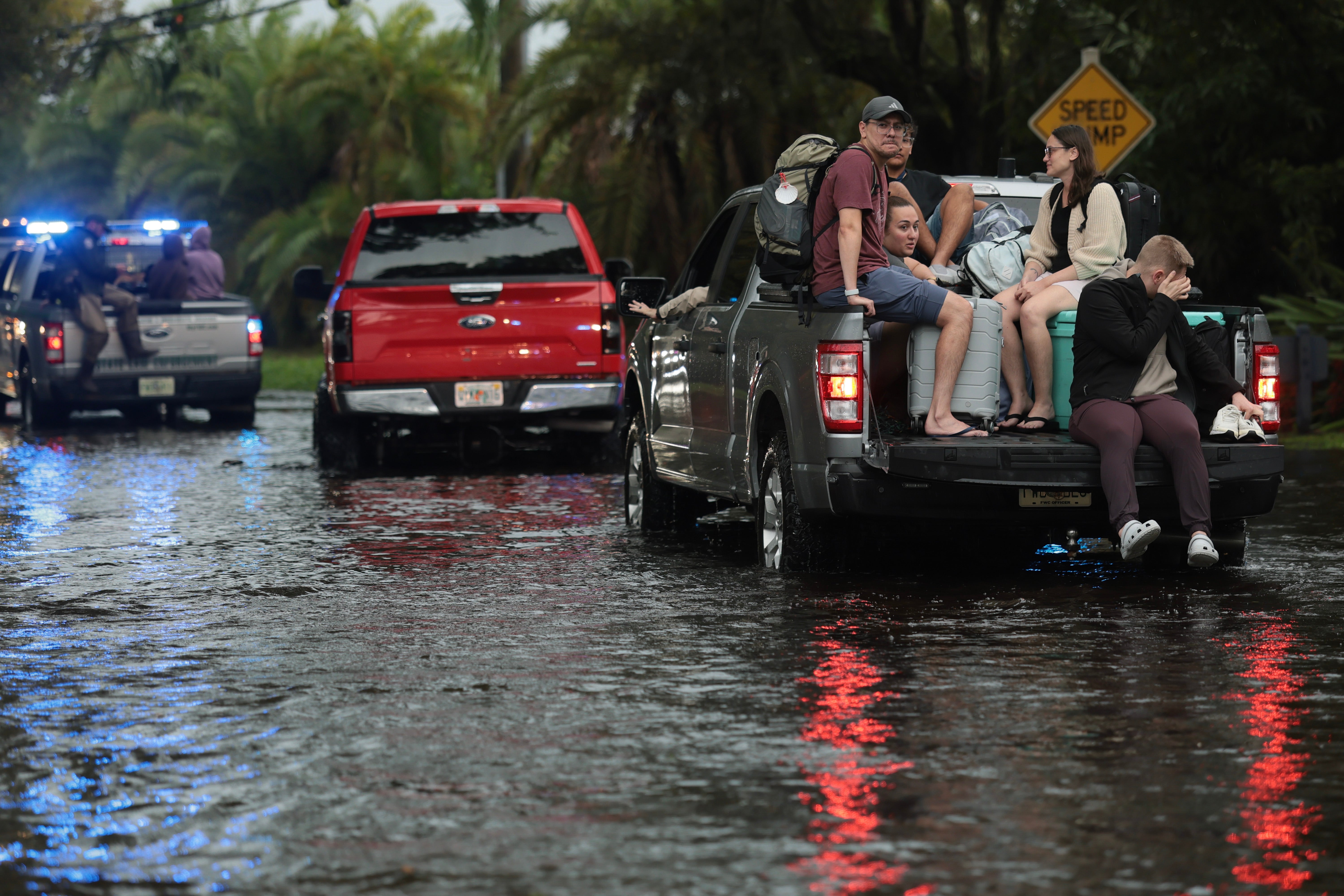
“I have never ever seen this much water in the 25 years I’ve been in Florida,” said Sara Hernandez, a Cocoa resident whose home flooded this week.
The historic deluge that swamped the state’s Atlantic coast is shifting north, with flood warnings now stretching 200 miles from south of Melbourne to the Jacksonville area, the National Weather Service said Friday.
Rainfall totals since Tuesday have topped 17 inches in spots, according to preliminary weather service figures. That comes on top of an earlier November storm that already pushed Melbourne to its wettest month on record — 22.59 inches — and its wettest autumn at 42.54 inches. Fort Lauderdale also smashed its November and autumn records, with around 15 inches this month and over 45 inches for the season.
The St. Johns River, Florida’s longest, rose above its 1953 record near Cocoa Thursday and is forecast to remain at least 2 feet above flood stage through early next week. Nearly 200 Florida National Guard personnel with 50 high-water vehicles have been deployed alongside hundreds of local emergency workers, the Division of Emergency Management said.
Fall and winter usually bring a break from rain, but a strong El Niño has rewired the pattern. Climate Central data shows the Southeast has seen a nearly 40 percent jump in deluge days since the 1950s, and a warmer atmosphere simply holds more moisture to wring out.
Heavy rain is simply heavier than it used to be. A warmer atmosphere holds more moisture. That allows heavier, more extreme downpours to squeeze out much easier from storms.
Urban development compounds the problem. Asphalt and concrete leave runoff with nowhere to go, turning heavy rain into flash floods faster than in decades past.
That one could definitely have some impacts especially on Wednesday and Thanksgiving Day,” Kleebauer said.”
El Niño winters can also bring several rounds of severe weather, including tornadoes. The same jet stream that brings rain also brings an abundant supply of one of the ingredients needed for severe weather: wind shear — the change of winds in direction and/or strength with height.
Additional rainfall of 2 to 6 inches was expected through Saturday, while some areas could see up to a foot of added rain, the weather service said. Flood warnings and watches have been posted.
Keep reading

Miles Overpowers Clark Atlanta 63-46 With 22-6 Fourth Quarter in SIAC Opener
Miles College turned a one-point deficit into a 17-point rout Thursday night, outscoring Clark Atlanta 22-6 in the...
Boise Airport Master Plan Considers New Runway South of Gowen Road, Terminal Growth and Road Changes
Boise Airport could close its northernmost runway and build a 10,000-foot replacement south of Gowen Road, a shift...

Portland Hearts of Pine Unveils Refreshed 2027 ‘Woods & Water’ Kit
"We're not starting over. We're carrying something special forward," Gabe Hoffman-Johnson, founder and chief community officer of Portland...

Wisconsin Faces Murray State in Baha Mar Consolation After 17-Point Collapse vs. Seton Hall
Wisconsin fell behind by 17 points and lost to Seton Hall 74–69 in the Baha Mar Championship semifinals...