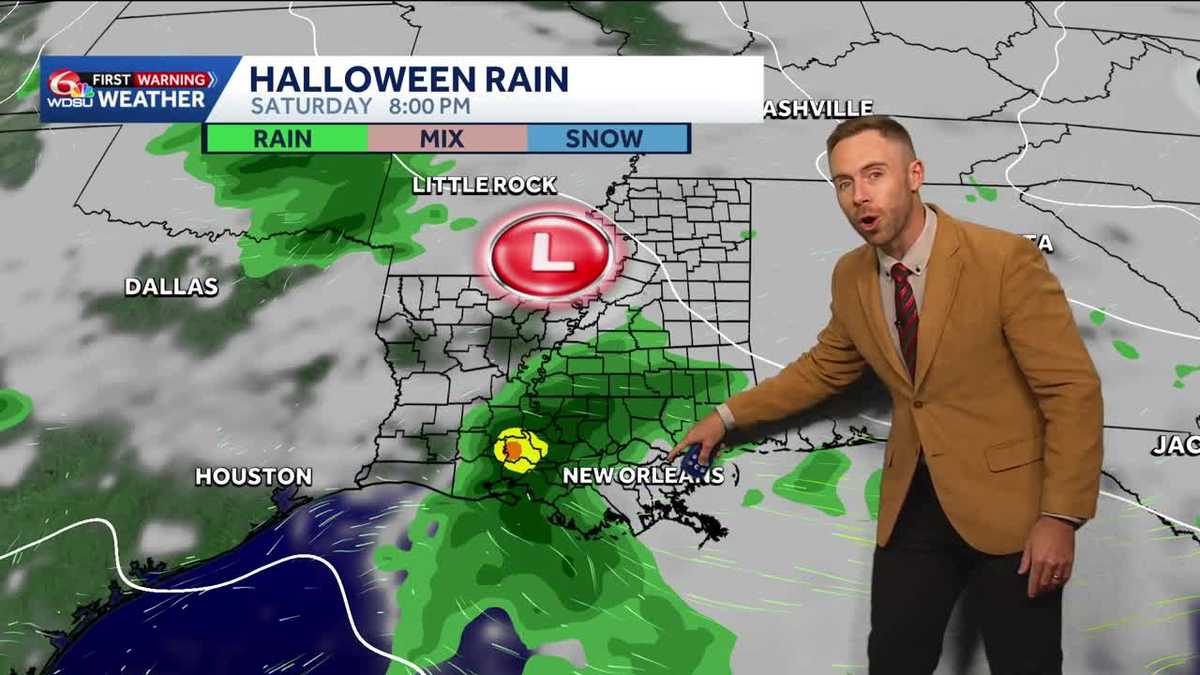
New Orleans Rain Chances Rise for Halloween Weekend as Storm Systems Line Up
New Orleans residents planning outdoor festivities this week will need to keep a close eye on the sky, as warm and dry conditions are set to give way to rising rain chances just in time for Halloween. According to WDSU, pleasant weather holding through Thursday with highs in the 80s will transition into a wetter pattern by the end of the week, introducing potential disruptions for trick-or-treaters.
While Friday brings only a few isolated coastal showers, the precipitation probability peaks sharply on Saturday. The Weather Prediction Center has outlined a Marginal Risk—representing a Level 1 out of 4—for excessive rainfall across the area. Localized heavy downpours and a few thunderstorms could develop, creating pockets of street flooding just as families head out for holiday events.
What the Weather Data Shows for the Days Ahead
Meteorologists emphasize that the exact timing and precise footprint of the weekend storms remain subject to change with the forecast currently sitting four days out. Forecasters note that the region certainly needs the rainfall, but local communities are hoping the heaviest bands hold off until candy collection concludes on Saturday night.
Looking past the weekend, the atmospheric setup remains active. Rain chances are expected to taper off on Sunday, offering a brief window of drier conditions before another weather system moves into the region. Forecasters indicate that this subsequent system could bring an additional round of showers and thunderstorms stretching from Tuesday into Wednesday, keeping local weather watchers busy monitoring back-to-back systems.
Related reading
Ndindi Nyoro Acquires Sh29.8 Million Stake in Olympia Capital With Eye on Takeover
Kenyan lawmaker Ndindi Nyoro has built a Sh29.8 million stake in Olympia Capital Holdings, positioning himself as the...

Cookie Plug Closes Its Virginia Beach Store
Dark Windows at Holland Plaza The building’s exterior sign is gone, the lights are off, and a simple...
Vermont to Receive $20M for Flood Recovery, Senator Welch Says
Vermont is set to receive $20 million in federal emergency funding to repair damages left behind by severe...

Utah Talons Celebrate Back-to-Back Softball Titles at World Series
As fans poured through the gates behind home plate prior to Game 4 of the World Series on...