Newark Evaluates Sea Level Rise Projections and Shoreline Defense Strategies
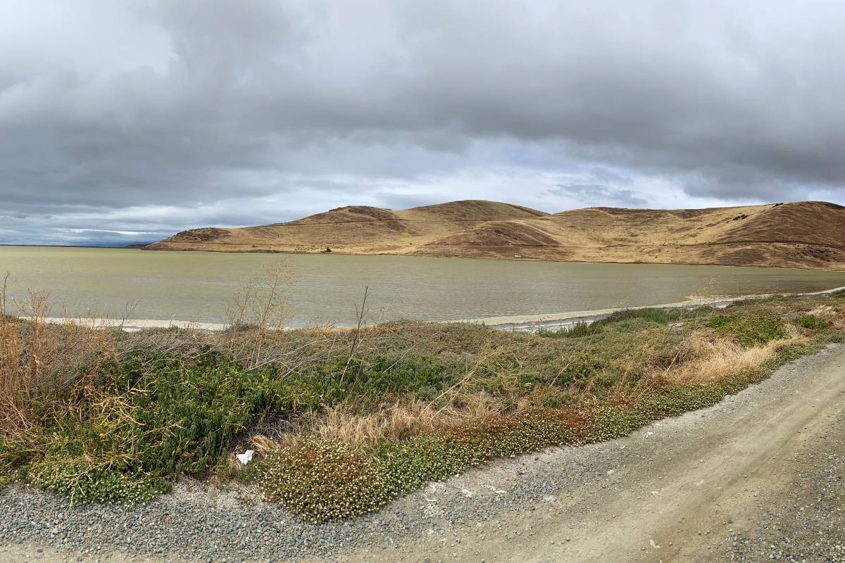
A projected rise of 0.8 feet by 2050 stands as the immediate benchmark facing Newark as the city confronts long-term environmental planning. According to a report covered by the Tri City Voice, this near-term scenario carries a 98% probability according to the California Ocean Protection Council. When the city council gathered for an October 22 meeting, officials reviewed a comprehensive synthesis report that maps out these physical changes and outlines potential defenses.
The timeline extends further toward the end of the century, pointing to a mid-level sea level rise of 3.1 feet by 2100. Under this later projection, the state council estimates a 50 to 85% likelihood of occurrence, creating conditions where major storms would trigger extensive and damaging flooding across vulnerable sectors. Vulnerability assessments began in 2024 when municipal leaders partnered with the engineering firm Arup to analyze local risks and draft preparatory measures.
Planners Propose Continuous Levee-Based Shoreline Defenses
To combat these advancing waters, planners are proposing a continuous line of defense along the city’s coast. Arup engineer Meg Ackerson outlined the core framework during the October presentation, describing an incremental approach designed to adapt over time while preserving local ecosystems.
Through this early adaptation planning process, we are proposing a continuous line of shoreline defense as a practical organizing idea for thinking about adaptation along Newark’s shoreline. And so the synthesis report is identifying kind of a continuous levee-based approach, particularly identifying areas where we could use a more gently sloped—what’s known as an ecotone slope—where feasible, and it’s intended to be an incremental approach, adaptable over time, and allowing for those multiple benefits and habitat areas as an example.
The engineering analysis highlights three distinct geographical zones where levee adaptations could be deployed:
- Thornton Avenue: Designed to protect adjacent neighborhoods and existing marshland while incorporating expanded recreational space.
- Newark Slough: Located between Mayhews Landing Road and Peachtree Avenue, this corridor could house a levee system that improves stormwater management alongside a linear park.
- Southern Shoreline: This rail corridor opens avenues for collaboration with private landowners Cargill and Union Pacific to engineer shared solutions.
City representatives emphasize that these locations remain exploratory proposals rather than firm recommendations. Resident feedback will guide the next phase of development.
Public Engagement and the Path to 2034
With no specific option formally endorsed yet, municipal leaders are soliciting community input to shape the upcoming Regional Shoreline Adaptation Plan. This public-facing process requires active resident participation to determine local priorities for coastal preservation and recreational access.
The completed Regional Shoreline Adaptation Plan carries a completion deadline of 2034. As the city moves from the initial vulnerability assessments of 2024 toward these long-term planning mandates, municipal officials continue to weigh engineering feasibility against community needs.
Worth a look

Nevada 2026 Midterm Election: Voting details for Washoe County residents
Tuesday marks the final opportunity for eligible residents who haven't yet voted in Nevada's 2026 midterm election. Polls...

Linda Gerry, Lincoln Resident and church secretary, dies at 79
A single yellow Post-it note, stuck quietly to a computer monitor in a Lincoln home, held a familiar...

Robert H. Garner, Outdoorsman and Vietnam Veteran, Passes Away
Remembering Robert H. Garner Robert H. Garner, a lifelong outdoorsman, veteran, and family man, passed away on Tuesday,...
Temperatures climb across southern Montana and northern Wyoming
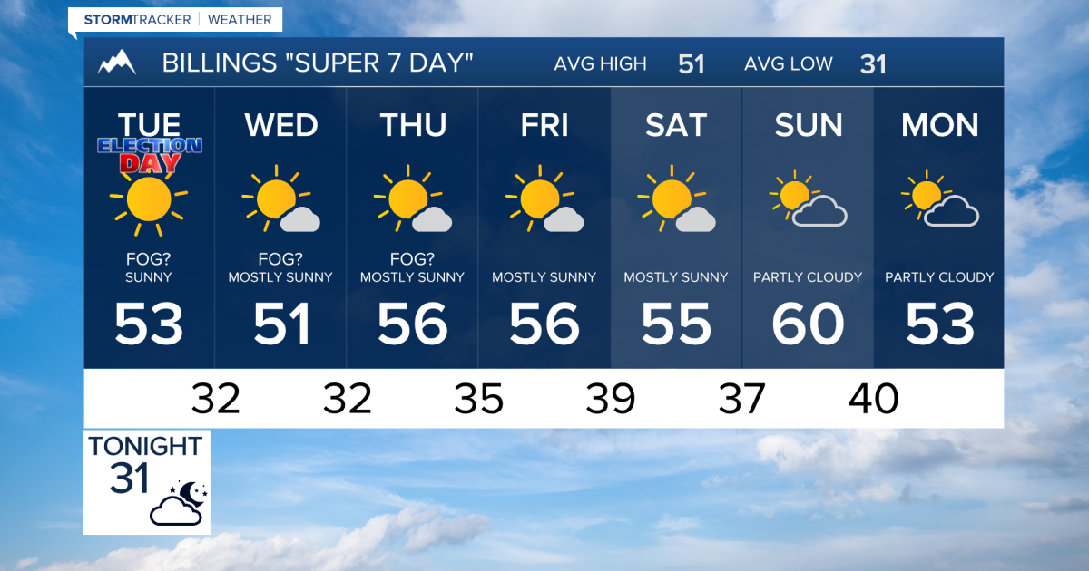
Winds Ease and Temperatures Climb Across Southern Montana and Northern Wyoming Rain and mountain snow will steadily taper...