Michigan is bracing for a light winter marked by well-above-average warmth and significantly lower snowfall totals, according to long-range outlooks issued by the National Oceanic and Atmospheric Administration and detailed by mlive.com.
NOAA issues its long-range forecasts in the middle of each month, with the latest update pointing to a very strong El Niño that will likely write the script for the winter scene. Strong El Niños create a split-flow storm track where an active storm track is typically displaced to the south, running from California and the Pacific Northwest southward across the Gulf Coast states and then up the East Coast.
Meanwhile, the polar jetstream and arctic jetstream remain along the northern United States border or farther north in Canada. For most of the winter, Michigan may sit between the active storms to the south and the occasional strong storm in the Northeast.
Looking at the December to February precipitation outlook, below-normal moisture levels are expected across the northern two-thirds of Michigan, with the highest probability of dry conditions situated in the far north. Southern Michigan is not in the drier-than-normal area because a few southern storms can drift north, putting that region in the chance of an authentic snowstorm. Looking ahead, the forecast going out into April still leans toward drier-than-normal conditions.
An unusual winter temperature outlook places the entire state of Michigan at a 60 percent probability of experiencing warmer-than-normal conditions throughout December, January, and February. There is a 33 percent chance of normal temperatures and a seven percent chance of being colder than normal, with warmer-than-normal temperatures potentially continuing into March and April.
While NOAA does not forecast snowfall deviations directly, inferences from the warmer-than-normal temperatures and drier-than-normal conditions point to below-normal snowfall. The combination of warmth and dryness could lead to snowfall amounts that are only half of the normal amount.
Michigan, the 26th state admitted on January 26, 1837, consists of two peninsulas divided by the Straits of Mackinac. It borders four of the five Great Lakes, giving it the longest freshwater coastline of any U.S. political subdivision at 3,288 miles, and the state ranks first nationally in water coverage by percentage at approximately 42%.
The heavily forested Upper Peninsula, once exploited for logging and mining, is now a tourism center, while the more populated Lower Peninsula hosts manufacturing and the U.S. automotive industry.
Under these projected conditions, expected seasonal snowfall ranges place southeast Michigan at 20 to 30 inches, southwest Lower Michigan at 40 to 60 inches, and northeast Lower Michigan at 30 to 50 inches. The snowbelt of northwest Lower Michigan, stretching from around Traverse City northward to Gaylord, could see 60 to 80 inches, while the Upper Peninsula is expected to fall in the 70-inch to 130-inch range.
There will still be snow this winter, though it will likely not reach the amounts seen in past Michigan winters, combining with mild temperatures to create what will feel like a light winter by state standards.
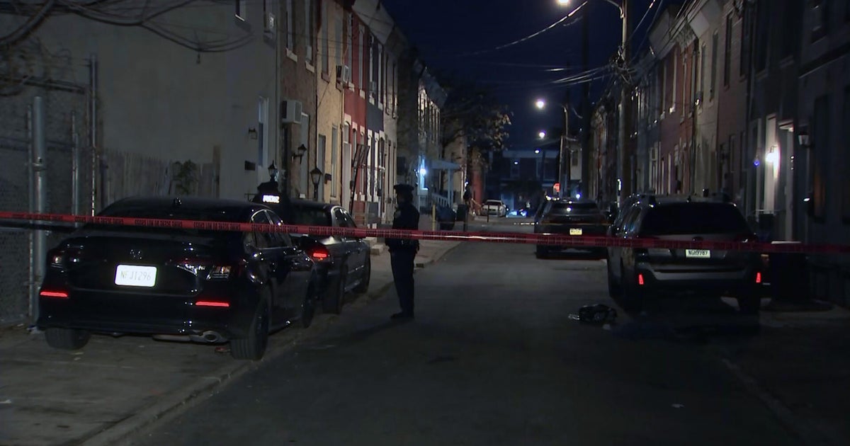
14-Year-Old Dead, Woman Critical in Kensington Shooting; Police Probe Link to Prior Shooting
A 14-year-old boy is dead and a 34-year-old woman is in critical condition following a daylight shooting in...
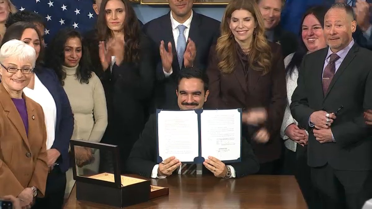
NYC Carriage Drivers Sue to Halt Ban After Mayor Mamdani Signs Bill
Central Park horse-drawn carriage drivers sued New York City in federal court on Thursday, challenging Mayor Zohran Mamdani...

2026 Tennessee Invitational Day 3: Grimes, Hayes, Heilman Win; North Carolina Sweeps Men’s 50 Free
North Carolina swept the men's 50 free with PJ Foy, Sean Setzer, and Martin Kartavi finishing 1-3, while...

Kulusevski Returns After Year-Long Knee Injury; Finnigan Also Back
Dejan Kulusevski was sidelined by a serious knee injury two weeks before the end of the 2024-25 season,...