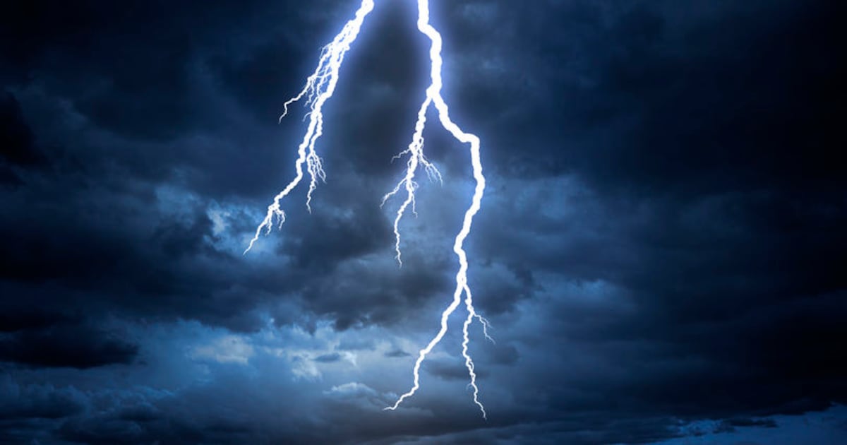
Displaced residents and flooded roads faced severe threats as the South African Weather Service issued a yellow Level 4 warning valid from 1pm until midnight on Friday while severe thunderstorms, hail, and heavy rains threatened multiple provinces.
Disaster Teams Mobilize Across Gauteng and Mpumalanga
The Department of Cooperative Governance and Traditional Affairs (Cogta) activated preparedness protocols following the National Forecast Centre’s severe weather alert. The warning covered the City of Johannesburg, City of Tshwane, Dipaleseng, Ekurhuleni, Emalahleni, Govan Mbeki, Lekwa, Lesedi, Midvaal, Pixley Ka Seme, and Victor Khanye municipalities.
This Diwali Sunday, expect scattered to widespread showers and thunderstorms over the eastern parts of the RSA, with partly cloudy and warm to cool conditions. Elsewhere, fine and hot weather is expected. Celebrate wisely, stay hydrated, and keep an eye on SAWS weather updates! pic.twitter.com/l36byG1NWO
Cogta spokesperson Theo Nkonki warned that the incoming storms could inflict widespread destruction on local communities. Possible impacts include damage or loss of infrastructure, settlements, property, vehicles, livelihoods and livestock,
Nkonki stated. Displaced residents and flooded roads remained major risks. Municipal disaster management structures were instructed to coordinate contingency plans, monitor vulnerable low-lying zones, and ensure that emergency service personnel remained fully prepared to respond to distress calls.
Severe thunderstorms with strong winds, hail, and heavy downpours resulting in flooding and damage of settlement/ localized disruptions to power supply and communications are expected over most parts of Gauteng and the south-western parts of Mpumalanga Highveld.
William Tladi, Ekurhuleni Disaster and Emergency Management Services
Technical rescue units including aquatic and vehicle response teams remained on high alert in Ekurhuleni as the severe weather system approached. Officials urged municipal disaster teams to keep emergency services on standby and maintain active communication channels with vulnerable populations.
William Tladi, spokesperson for Ekurhuleni Disaster and Emergency Management Services, cautioned residents living near low-lying bridges and roads to avoid taking unnecessary risks with fast-moving floodwaters.
Power Infrastructure Damaged in KwaZulu-Natal
Eskom technicians labored to repair electrical faults following severe weather that struck on Thursday as northern KwaZulu-Natal braced for Level 4 storms on Friday. The utility identified Newcastle, Empangeni, and Pietermaritzburg as the areas worst affected by lightning and damaging winds.
Forecaster Masego Nhlapo reported an expected 60% chance of rainfall and thunderstorms in the northern parts of the province including AmaJuba, Zululand, uMkhanyakude, and King Cetshwayo. Residents across these regions faced hazardous travel conditions and potential river overflows, with authorities advising members of the public to stay indoors and avoid crossing swollen streams.
Temperatures Soar With Fire Warnings
Musina reached 40°C under dry conditions as extreme heat gripped several regions, and Polokwane hit 30°C. Additional forecasts showed hot conditions extending across parts of the North West, where Mahikeng and Rustenburg reached 34°C accompanied by isolated thundershowers.
Weather outlook for Sunday & Monday: 8-9 November 2026. Partly cloudy and warm to cool conditions are expected over the eastern parts of the RSA, with isolated to scattered showers and thunderstorms possible, but widespread in KZN. Elsewhere, it will be fine and hot. #saws pic.twitter.com/bQ1sY8FRrF
The South African Weather Service placed the North West, most of Limpopo, and parts of the Northern Cape under extremely high fire danger warnings. Separate yellow Level 2 warnings addressed anticipated disruptive rainfall along the Wild Coast and adjacent interior of the Eastern Cape, where swollen rivers and flooded roads threatened regional infrastructure.
The latest alerts followed earlier seasonal weather advisories issued across the country.
Public Advisory: Severe Weather Awareness Amidst the severe weather conditions expected across South Africa, the public is urged to rely only on information issued by the South African Weather Service.#saws #weatheroutlook #southafricanweather pic.twitter.com/gi42PNY2Yu
Keep reading

Man Dies After Shooting Outside Kansas City Hotel
Fatal Shooting at Kansas City Hotel A man is dead following a shooting on the 500 block of...

Iowa Family Narrowly Avoids Head-On Collision in Police Chase
"Well, you guys, if we die, I love you." That was the sentiment shared by Beth Wagner as...

Historic Springfield Wagon and Mail Hack Exhibit at Library Station
Springfield Wagon and Mail Hack find new home at Library Station Two historic horse-drawn vehicles, a Springfield-made wagon...

Honolulu Police Chief Achieves 35 of 37 Initial Goals
Chief David Lazar Completes 35 of 37 Benchmarks in Opening Months Honolulu Police Chief David Lazar has hit...