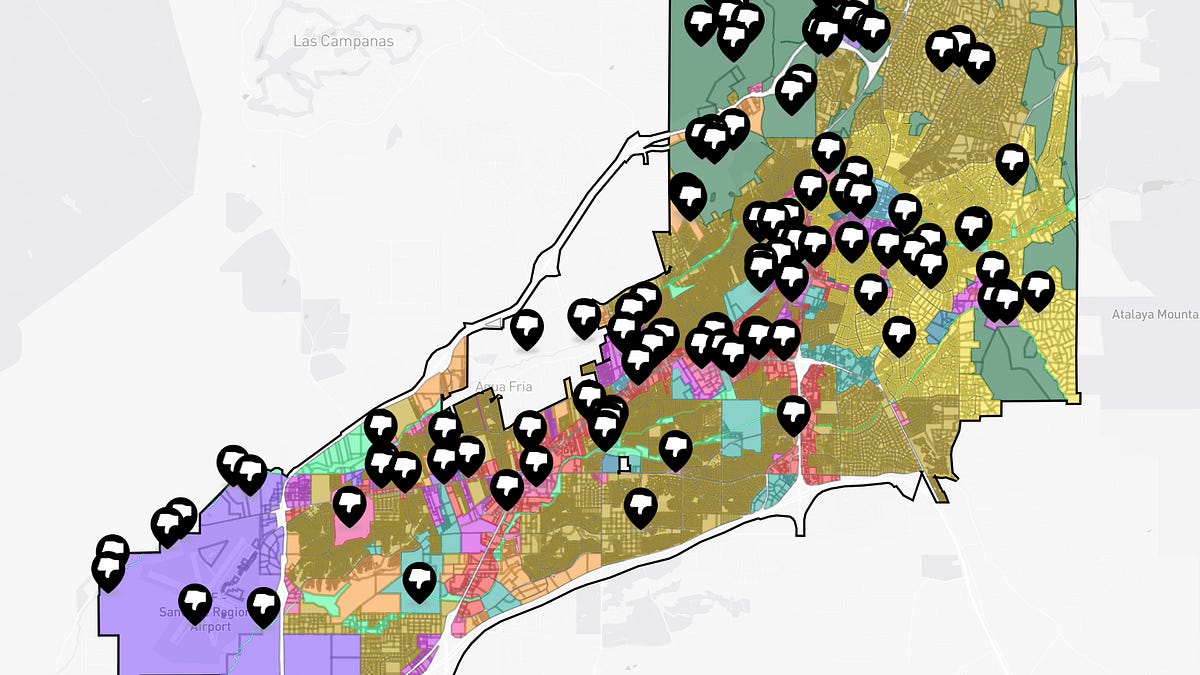
Santa Fe is grappling with a draft land use map that critics warn will lock the city into twentieth-century suburban sprawl rather than preparing it for a compact, water-conscious future.
A General Plan functions as a municipality’s state-required policy guide for land use, directing where future infrastructure investments, roads, and utilities go. Local zoning codes must legally align with this document. Yet Santa Fe has not updated its foundational plan since 1999, meaning nearly a quarter of current residents were not even born the last time the city mapped its long-term trajectory.
The Consultant Blueprint and the 12 Themes
The Santa Fe Forward planning process kicked off in 2024. Since then, the city’s consultants, WSP, have drafted 12 distinct “character themes” alongside a preliminary Future Land Use Map, released for public comment on October 26.
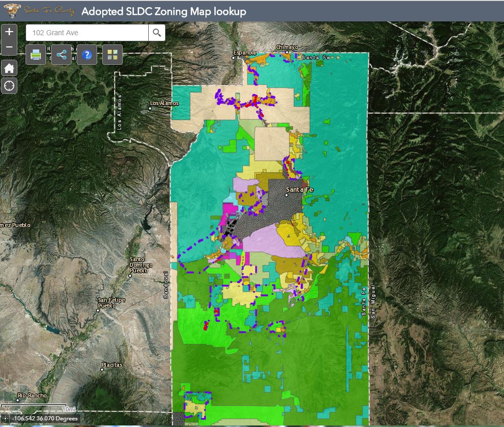
These themes—ranging from “Heritage and Tourism” to “Makers and Services”—focus heavily on curated categories rather than establishing predictable building height profiles or housing typologies. Advocates point out that translating these vague guidelines directly into zoning laws will likely trigger contentious, site-by-site public battles for future infill projects.
The draft map largely mirrors the city’s existing footprint instead of establishing a proactive spatial framework for growth. The dominant “Established Neighborhood” category covers most residential land with a mandate for “modest change,” effectively insulating post-World War II suburban patterns under the banner of heritage preservation.
Contrasting Visions for Future Growth
Unlike neighboring municipalities that successfully linked their comprehensive plans to clear, form-based zoning categories—such as Albuquerque’s activity centers or Las Cruces’ updated comprehensive framework—Santa Fe’s current draft relies on traditional exclusionary zoning. The Housing for Santa Fe Coalition has proposed an alternative framework centered around four distinct tiers:

- Urban Hubs: Up to 5 stories for dense, walkable mixed-use areas like Downtown and Midtown.
- Urban Corridors: 3 to 5 stories along commercial spines such as Cerrillos Road.
- Neighborhood Hubs: 2 to 3 stories integrated directly into residential zones for daily retail.
- Residential Infill: 1 to 3 stories accommodating casitas, townhouses, and missing middle housing.
Without clear density benchmarks and explicit links between the Future Land Use Map and future zoning districts, city code writers face an uphill battle that risks wasting valuable public resources.
What Happens Next
The public comment window remains open, and the city’s planning staff intend to finalize the General Plan by January following review by the Planning Commission and the Governing Body. Residents have a narrow window to submit feedback through the interactive map and engage directly with local councilors before the framework hardens into binding regulation for the next quarter-century.
Related reading

House Set to Vote to Impeach Hegseth. and, SCOTUS Allows Border Wall Work to Proceed – NPR
House Impeachment Vote Set The House is set to vote this week on a resolution to impeach Defense...

Tennessee Senators Talk State Efficiency as Blackburn Plans ‘Tennessee-Style DOGE’ Review
As Tennessee enters its new budget cycle, Gov.-elect Marsha Blackburn is setting a clear course for state operations,...

Democrats Poised to Break GOP Supermajority in Utah House Races
Utah House Supermajority at Risk as Vote Tally Continues The political landscape of Utah is currently in a...

Supreme Court Considers North Dakota Property Rights Case
“What we’re saying is that when states try to protect private property owners, private companies have to respect...