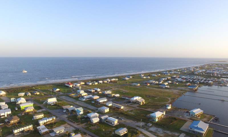
Sea level at Grand Isle, Louisiana, is rising about three feet per century while the coast at Juneau, Alaska, is dropping — a split driven by land moving in opposite directions, NOAA tide-gauge records show.
The contrast captures the central lesson of relative sea level: the ocean is not rising evenly, and the ground beneath the gauge matters as much as the water above it.
At Grand Isle the land is sinking; at Juneau it is rebounding from the loss of glacier ice. Both trends are measured against the same global ocean, which has risen four inches since satellites began tracking it in 1993 and accelerated to 0.23 inches per year in 2024, NASA reported.
“A negative trend does not mean the ocean surface is falling; it indicates the land is rising more quickly than the ocean in a particular area.”
NOAA explains in its tide-gauge documentation.
Grand Isle: a barrier island on a sinking delta
Grand Isle sits at the edge of the Mississippi River Delta, where the U.S. Geological Survey reported in 2000 the highest rate of relative sea-level rise in the nation.
The NOAA gauge there has logged an average increase of 0.36 inches (9.13 millimeters) per year since 1947 — roughly three feet per century. Only two U.S. stations show a faster rise: Eagle Point, Texas, with a record starting in 1993, and Pago, American Samoa, starting in 2009.

A 2013 NOAA analysis estimated the land at the Grand Isle gauge was subsiding about 0.30 inches (7.60 millimeters) per year, accounting for most of the measured rise through 2006. Withdrawing oil, gas and groundwater accelerates that compaction, and drainage has lowered large areas below present sea level.
The same forces drive the Galveston, Texas, record: the Pier 21 gauge, operating since 1904, shows a rise of about 26 inches per century, with land subsidence of 0.19 inches per year explaining nearly three-quarters of the local increase through 2006.
In the Houston area, the Harris-Galveston Subsidence District ties the sinking to groundwater withdrawals from the Gulf Coast Aquifer System; in Baytown’s Brownwood subdivision the ground dropped nearly ten feet in a few decades, forcing the neighborhood’s abandonment.
Juneau: land rising faster than the ocean
In Juneau the tide gauge tells the reverse story. Since 1936 relative sea level has fallen about 0.53 inches (13.51 millimeters) per year. The Alaska Coastal Rainforest Center at the University of Alaska Southeast puts the uplift rate at roughly 0.6 inches (15 millimeters) per year as the Coast Mountains’ glaciers and the Juneau Icefield continue to thin after the Little Ice Age.
Shorelines have risen roughly ten feet since the late 1700s. At nearby Skagway the fall is steeper still: 0.71 inches (18.13 millimeters) per year since 1944.
If rebound rates hold steady, Juneau’s land could rise another 3.9 feet by 2100, likely keeping local sea level near its 2020 position. Projections range from a 2.9-foot drop under a low-emissions scenario to a 4.3-foot rise under an extreme one, but relative sea level is expected to keep falling until at least 2050.
The global signal is accelerating
While local geology writes different stories at each gauge, the planetary baseline is shifting faster. NASA’s satellite record shows global mean sea level rose four inches (ten centimeters) from 1993 to 2024, and the annual rate more than doubled in that span.
In 2024 the rate hit 0.23 inches (0.59 centimeters) per year, exceeding the 0.17 inches (0.43 centimeters) expected. The drivers flipped, too: recent decades saw two-thirds of the rise from meltwater added to the ocean, but in 2024 two-thirds came from thermal expansion as seawater warmed.
Why the distinction matters for planning
All 19 U.S. stations with a falling trend lie in Alaska, Washington, Oregon or northern California — places where glacial isostatic adjustment or tectonic uplift outpaces the ocean. Everywhere else, subsidence and rising water compound each other.
For Gulf Coast communities, that means flood risk escalates faster than global averages suggest; for Juneau, the reprieve is temporary if warming accelerates ice loss worldwide. The tide gauges, taken together, show that adaptation has to be local, but the driver is global.

Springfield Schools Launch Superintendent Search Inviting Community Input
Springfield Public Schools officially kicked off the search for a permanent superintendent this week, inviting families, staff, and...

On3 Reports Chattanooga Won Four of Last Five Games vs Alabama
Alabama football faces a distinct tactical challenge this Saturday as they host Chattanooga at Bryant-Denny Stadium. Kickoff is...
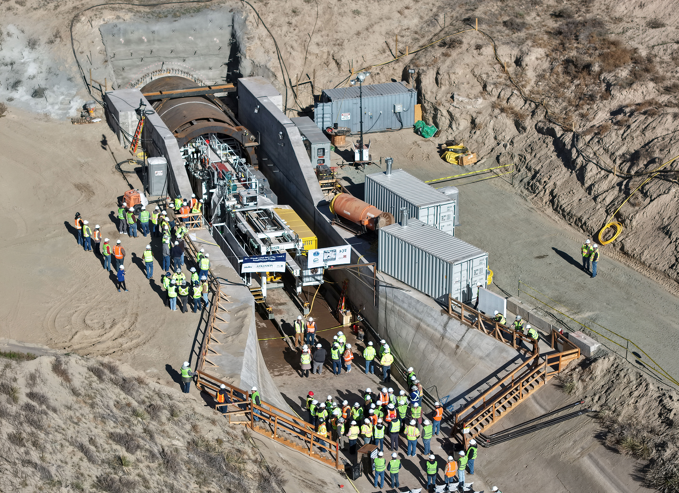
Construction Begins on Key Irrigation Tunnel Serving Western Nebraska and Eastern Wyoming
Construction crews officially broke ground on Wednesday, Nov. 18, to replace Tunnel No. 2 along the Goshen/Gering-Fort Laramie...

Lincoln Center Theater Appoints Naomi Weinstock and Promotes Robert Jones
Lincoln Center Theater is reshaping its leadership team, announcing a high-profile hire and a strategic promotion to guide...