
Floodwaters destroy sections of State Route 89A in Oak Creek Canyon
Torrential rain and a surging Oak Creek have torn chunks of pavement from State Route 89A, leaving the scenic corridor between Sedona and Flagstaff impassable. The damage, which includes exposed guardrail supports, scattered boulders, and thick mud, has forced a complete shutdown of the highway.
The destruction began on Sunday, Nov. 1, when heavy rainfall pushed Oak Creek above flood stage. The force of the water undermined the structural integrity of the roadway by eating away at the pavement from underneath. For those traveling between the mountain towns, the primary detour now requires using State Route 179 and Interstate 17. While the Arizona Department of Transportation (ADOT) has issued travel advisories, there is currently no timeline for when the highway will safely reopen to through traffic.
Residents and tourists remain cut off by rising waters
The flooding did more than just damage asphalt; it isolated communities and stranded dozens of people within the canyon. The Coconino County Sheriff’s Office reported that 15 people remained stranded at the Trout Farm, while other individuals were cut off by impassable low-water crossings. Although deputies have successfully made contact with everyone to deliver food and confirm their safety, the physical barriers remain in place.
These photos of SR 89A in Oak Creek Canyon offer just a glimpse of what crews are dealing with. Here, flood waters deposited large piles of boulders and debris, damaged guardrails and undermined the road in several locations. (3/4) pic.twitter.com/OXEkl7MsKN
Tim Carter, director of Coconino County Emergency Management, noted that while driving is impossible, the crossings are safe enough to walk across, allowing for foot evacuations if emergency medical care becomes necessary. The scale of the disaster has prompted both Coconino County and the state of Arizona to declare emergencies, a move that unlocks the funding and resources required for recovery efforts.
“What damages have been done to some of those low water crossings? Are they safe to drive across? We do know they’re safe to walk across so we can at least get people out if we need to,” said Tim Carter.
Steve Segner, a local resident, described being stuck on the other side of the creek for three nights because the Thompson Bridge—his primary route out of the neighborhood—was threatened by water that rose 14 feet high and scoured the surrounding trees. Segner noted that many Airbnb guests in the area were left without power or food, leading neighbors to share resources to get through the ordeal. Because the bridge is private property, the cost of permanent repairs will fall on the neighbors themselves, prompting the creation of a GoFundMe campaign to cover the expenses.

Infrastructure damage extends to nearby valleys
The impact of the storm was not limited to the canyon floor. In the Oak Creek Valley, located approximately 20 minutes from downtown Sedona, flash flooding caused significant property damage. Residents there reported that the water tore away driveways and opened massive sinkholes in front of homes.
As crews work to stabilize the area, ADOT has implemented specific access restrictions to manage the remaining risks. The highway is closed to all through traffic between the Owenby Way roundabout in Sedona and Flagstaff. Only local canyon residents who can provide proof of residency are permitted to use SR 89A to access Sedona for goods and services; travel toward Flagstaff remains prohibited. Drivers should watch for narrow road sections and potential rockfalls as the ground continues to settle.
More on Oak Creek
Keep reading

Cowboys Look to Exploit Colts Turnovers in Week 8 Matchup
Dallas Cowboys Eye Rebound Against Collapsing Indianapolis Colts The Dallas Cowboys, still smarting from a tough overtime loss...

Tahaad Pettiford Leads Auburn to Dominant Win Over SE Louisiana
Buzzer-Beater Ignites Auburn's 68-Game Home Streak Opener Auburn basketball roared to life on Wednesday night, dismantling Southeastern Louisiana...

A Day in the Life of a Kentucky Oncologist
A Kentucky Oncologist’s Day Reveals the Hidden Architecture of Modern Cancer Care The stakes are high. His day...
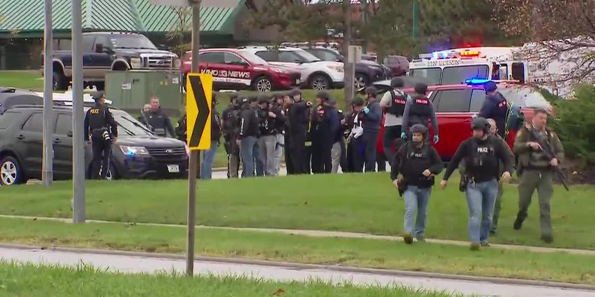
Three injured in Des Moines post office shooting, suspect detained
Life in Des Moines was interrupted this morning. A routine Thursday morning at the city's main post office...