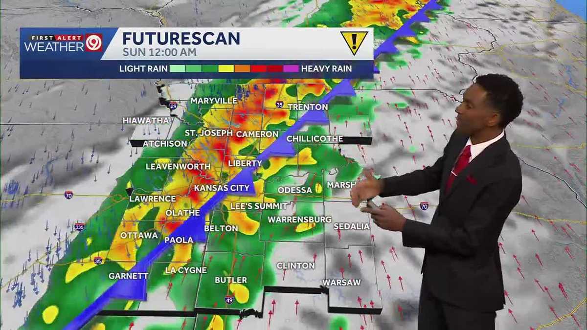
A warm, windy Friday gives way to a stormy Saturday evening across the Kansas City metro, with the heaviest rain expected to arrive just as fans gather for a Kansas City Current watch party, KMBC reported.
The station has declared Saturday a First Alert Weather Impact Day. Clouds thicken through the day with a high near 70 degrees, but the active weather holds off until after sunset. The main window for showers and thunderstorms opens around 8 p.m. and runs until roughly midnight, threatening outdoor plans across the area.
Behind the front, temperatures tumble. Sunday tops out near 50 degrees and begins a colder stretch that lingers through Thanksgiving week. Overnight lows dip into the mid-20s by midweek, with daytime highs stuck in the low to mid-40s under mostly sunny skies.
For the Chiefs faithful heading to Arrowhead Stadium on Sunday, the numbers are blunt: low 40s at tailgate time with wind chills in the mid-30s, warming only to the mid- to upper 40s by kickoff. The walk to the car afterward will feel slightly better, around 50 degrees.
“The main window for rain is between 8 p.m. and midnight. That’s why Saturday is a First Alert Weather Impact Day.”
KMBC meteorologists said in their Friday forecast.
Thanksgiving Day itself looks chilly but dry, with sunshine and highs struggling to climb out of the 40s.

The storm system moves quickly, and dry air returns Sunday.
Friday night offers one last mild evening. Lows only drop to the mid-50s under a few clouds — comfortable enough to leave the windows cracked — before the wind shifts and the bottom falls out.

Blatchley Huskies Girls Face Challenges at Annual Jamboree
Blatchley Middle School’s gym is humming with the sound of sneakers on hardwood and a cheer squad that...

The Philadelphia Phillies tendered contracts to seven arbitration-eligible players Friday
The Philadelphia Phillies tendered contracts to seven arbitration-eligible players Friday, non-tendered four others and acquired a reliever recovering...

Trump Administration Unveils Plan for Public Land Sales
"The Trump Administration is once again plotting to undermine our world-renowned system of shared lands and the public...

Georgia Fishing Report Nov. 20: Thanksgiving Week Bass, Striper, Redfish
Thanksgiving week usually means turkey and traffic, but Georgia anglers are finding a different rhythm on the water...