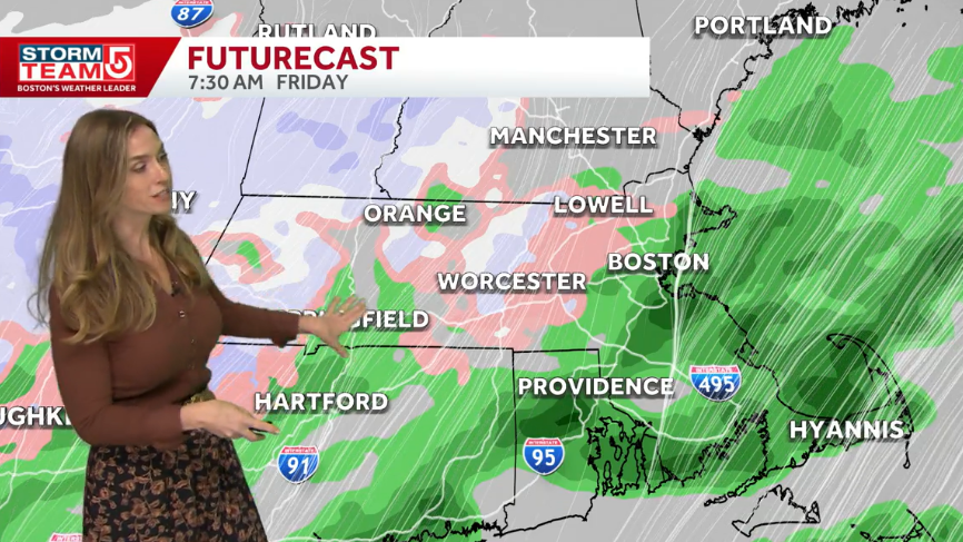
A late-week storm will bring rounds of chilly, windswept rain to New England from late Thursday through Friday night, according to a StormTeam 5 Weather Alert.
The weather system is expected to impact much of the region with varying precipitation types depending on elevation. While most areas will deal with wet conditions, some parts of the region may face a chance of light snow.
Light showers are forecast to begin late Thursday morning. Steadier rain will move in from the south and west later in the day, becoming more consistent by midnight.
The most significant impacts are expected to arrive overnight Thursday. Meteorologist Kelly Ann Cicalese said that the heaviest rain could mix with snow in higher elevations during the overnight hours and into early Friday.
“I’m thinking closer to 9 p.m., and we’ll see that heavy rain mixing with some snow in the higher elevations overnight through early Friday,” said StormTeam 5 Meteorologist Kelly Ann Cicalese.
Colder air may move southward briefly on Friday morning. This shift could bring wet snowflakes to higher elevations, including the Worcester Hills and the east slopes of the Berkshires, though officials say these flakes are unlikely to stick.
The storm will leave behind a stretch of cool and breezy conditions. The following table outlines the projected temperatures and weather conditions for the week:
| Day | Weather Conditions | High Temperature |
|---|---|---|
| Thursday | Impact Weather; heaviest showers late | 52°F |
| Friday | Chilly rain and wind | 45°F |
| Saturday | Mountain snow and showers | 44°F |
| Sunday | Partly sunny, chilly and breezy | 49°F |
| Monday | Partly sunny and cool | 50°F |
| Tuesday | Sunny with a chilly morning | 51°F |
| Wednesday | Sunny and seasonable | 54°F |
Temperatures are expected to remain cool through Monday. A shift toward more sunshine and slightly warmer, seasonable temperatures is anticipated by next Wednesday.
The heaviest rain and biggest impacts are expected overnight Thursday night.
Worth a look
- ILC Dover, ILC Astrospace Pay $13 Million Over Cybersecurity Claims
- Semi-Truck Crashes Into Traffic on I-70 Injuring People
- World Cup triumph would only be half the story for England’s wheelchair rugby league squad (newsarchyuk.com)
- Morgan Rogers Denies Cole Palmer Lacks England Commitment (world-today-news.com)

ILC Dover, ILC Astrospace Pay $13 Million Over Cybersecurity Claims
Two aerospace and defense contractors will pay $13 million to resolve allegations that they failed to meet mandatory...
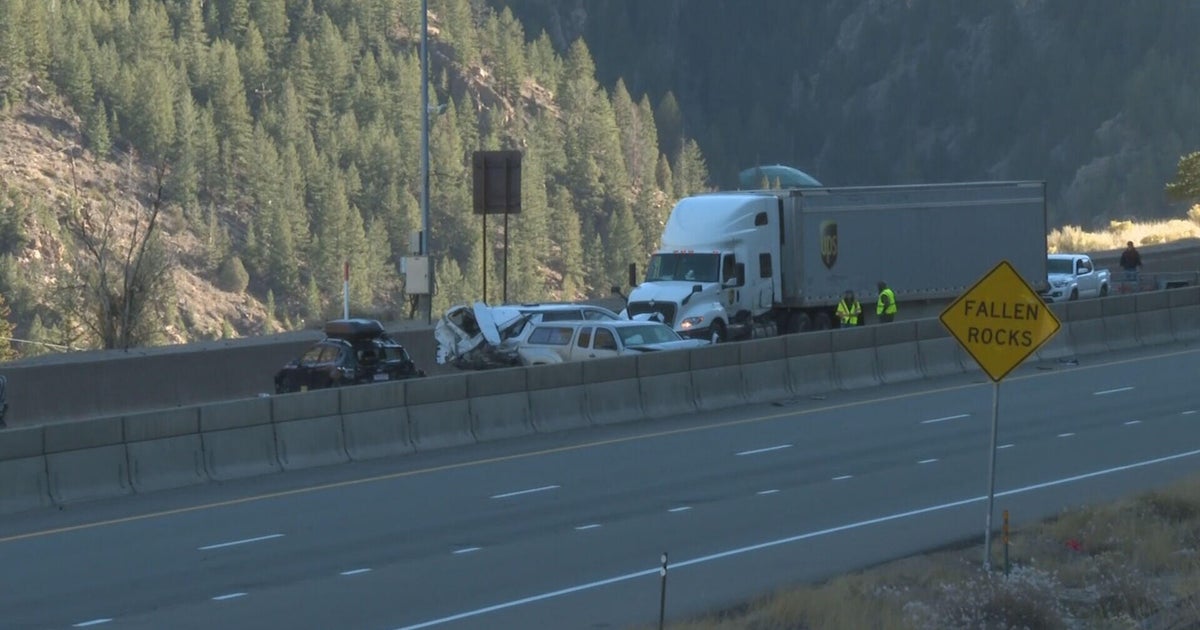
Semi-Truck Crashes Into Traffic on I-70 Injuring People
A semi-truck crash involving vehicles closed eastbound I-70 near Georgetown on Thursday, injuring people and blocking traffic in...

Quantum Cyber Reports First Revenue and Bridgeport Facility Operational
Quantum Cyber N.V. generated its first revenue following a strategic pivot to autonomous defense, according to a third...

UC Irvine Cross Country Eyes NCAA Championships at West Regional
UC Irvine cross country heads to Sacramento on Friday, Nov. 13, with a direct path to the NCAA...