
Topeka residents are facing a week of volatile wind conditions as a warming trend takes hold across north-central Kansas.
According to the latest forecast from WIBW, the region will see temperatures climb into the mid-60s to near 70° by the end of the work week, though this shift brings with it a persistent and potentially hazardous wind pattern.
The primary concern for local commuters and homeowners is the sustained wind speed, which is expected to gust between 25 and 40 mph daily. These conditions, originating from the south-southwest, are projected to be at their most intense on Wednesday and Friday. Drivers, particularly those operating high-profile vehicles, are advised to maintain a firm grip on the steering wheel, especially when passing or being passed by similar transport.
Beyond the roads, residents should secure or bring inside any holiday decorations or loose outdoor furniture that could become airborne during the peak gust periods.
While the warming trend provides a brief reprieve from seasonal chills, the respite is temporary. WIBW reports that a cold front is expected to move through the area this weekend, ushering in more seasonal temperatures by Sunday.
This transition will likely be accompanied by cloud cover and a potential for rain on Saturday, though meteorologists note that the specific timing and precipitation totals remain subject to change as the week progresses.
The current outlook for the next eight days shows a high degree of confidence regarding the warming trend through Friday and the subsequent cooling as the new week begins. However, the precise degree of that cooling and the exact impact of the weekend’s rain chances remain variables in the long-range models.
For those planning outdoor activities, Thursday stands out as the most favorable day of the week. With winds expected to be at their lightest—gusting near 20 mph rather than the 35 to 40 mph seen on other days—it provides the narrowest window for stable weather.

Looking further ahead, the long-range outlook for Thanksgiving remains a point of interest for the region. Current models suggest a dry holiday with highs ranging from the upper 40s to the mid-50s.
While these projections are preliminary, they indicate that Black Friday shoppers will likely encounter temperatures above freezing, settling into the mid-30s to low 40s. These models remain subject to change, and residents are encouraged to monitor updates as the data becomes more refined.
For now, the immediate priority remains managing the daily wind gusts and monitoring the Saturday rain potential.
Related reading
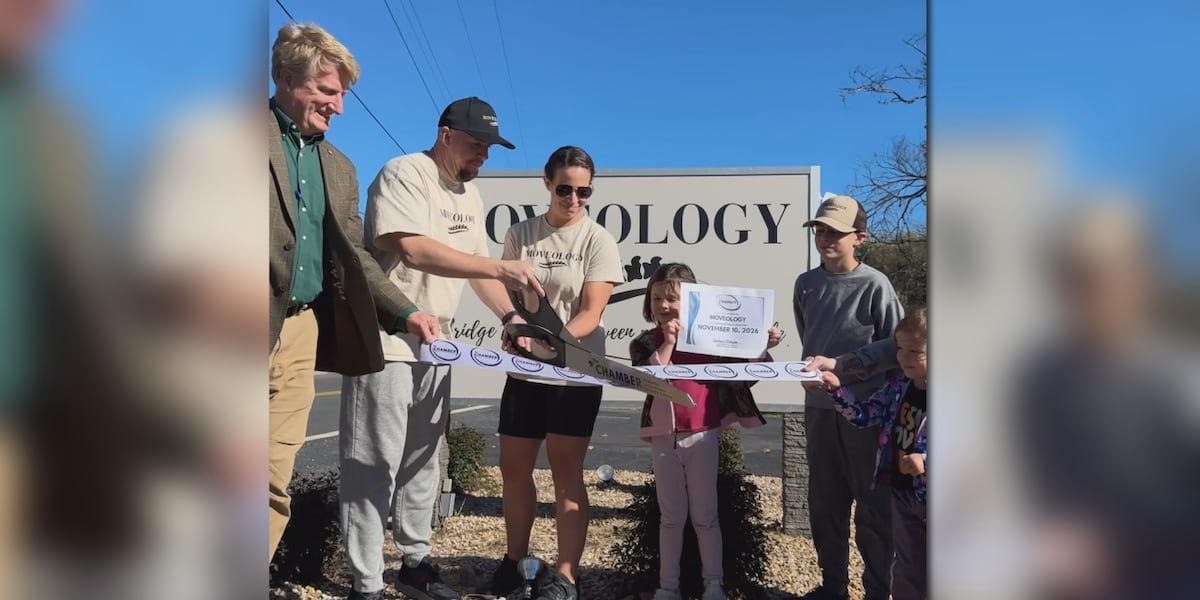
Shenandoah Valley Couple Starts Moveology to Help With Back Pain
Michael and Hannah Bower started a new business called Moveology in Fishersville, Virginia, drawing from their own experiences...

LOSFA Expands Access to Registered Apprenticeship Programs
The Louisiana Office of Student Financial Assistance (LOSFA) is scaling its efforts to connect residents with structured career...

Sacramento Republic FC to Host Louisville City FC for 2026 USL Final
Sacramento Republic FC will host Louisville City FC for the 2026 USL Championship Final at Heart Health Park...

Indiana Defeats USC 27-13 as Cignetti Defends Schedule Strength
Indiana football head coach Curt Cignetti stood before a room of reporters on Monday and finally addressed the...