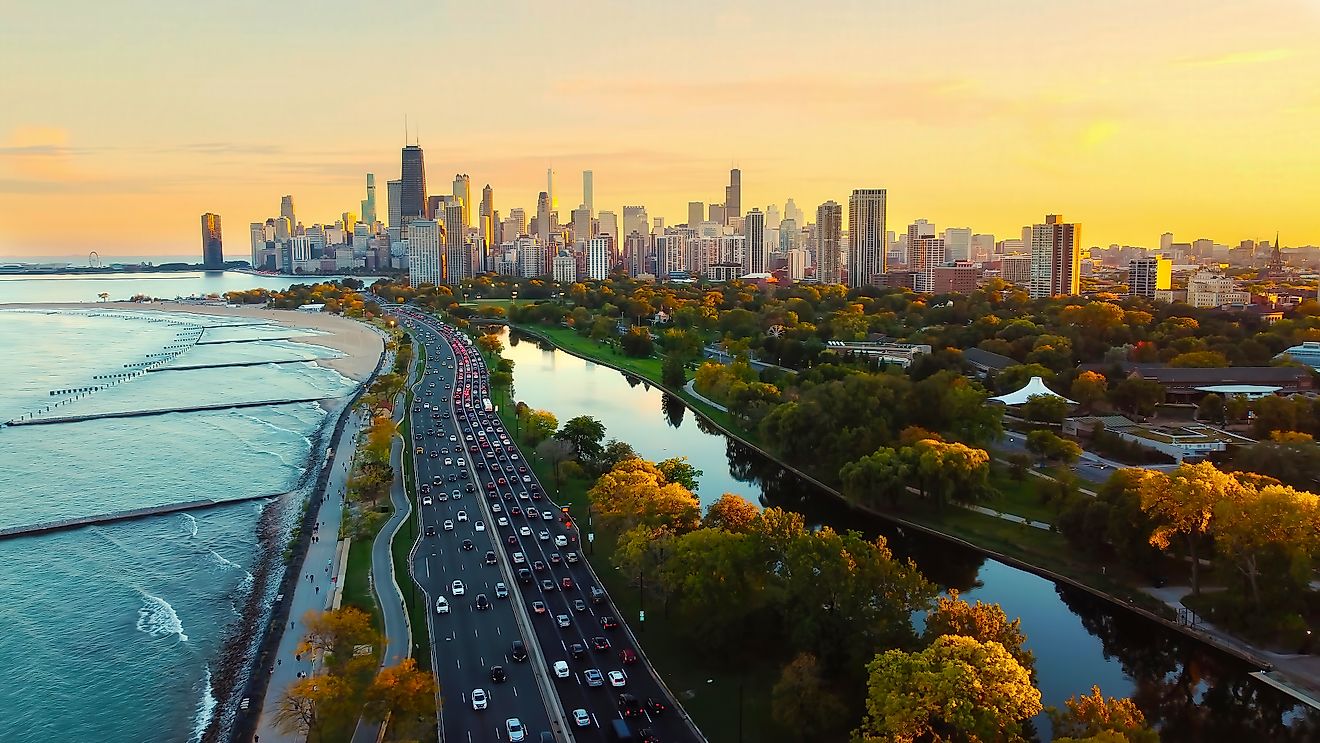
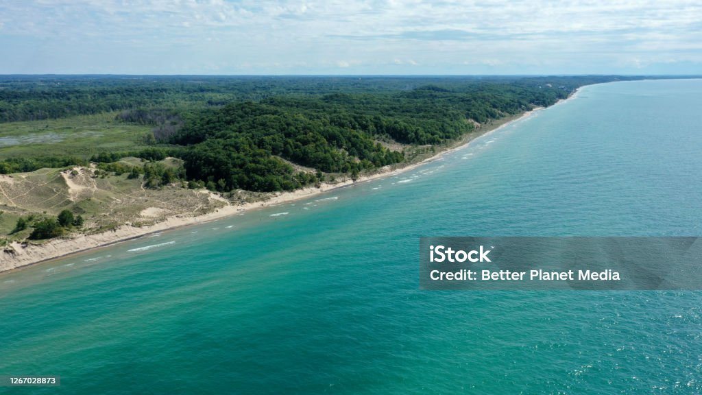
Standing on a Lake Michigan beach, the horizon sits roughly three miles away. The lake stretches 118 miles at its widest, meaning the curve of the Earth hides the far shore long before it comes into view — unless a layer of cold air bends the light around the planet.
World Atlas illustrated the raw geometry: at six feet above the water, the horizon is three miles out. Climb a 120-foot dune and it extends to about fourteen. The math is unforgiving because horizon distance grows with the square root of height; to double your view, you must quadruple your elevation.
Lake Michigan runs 307 miles north to south and covers 22,404 square miles, making it the only Great Lake entirely inside the United States. From the open shore, the opposite side is simply gone.
The mirage that isn’t a mirage
Photographers near Stevensville and Bridgman, roughly 50 to 60 miles from Chicago’s Loop, capture the skyline several times each spring and autumn. Joshua Nowicki has built a following doing it from Grand Mere and Warren Dunes State Parks.
By the standard curvature formula, the planet should hide more than 1,600 feet of the far shore at that range, and Willis Tower rises only 1,451 feet to its roof. The entire city ought to be submerged behind the bulge.
It appears anyway because the lake cheats. Water holds its temperature far longer than air. In spring, the lake stays near freezing while the air above it warms, stacking a dense layer of chilled air beneath lighter warm air. Light crossing that boundary bends downward instead of traveling straight.
Bend it enough and the light follows the Earth’s curve rather than shooting off into space, piping an image of the city over the horizon. Meteorologists call this a superior mirage — superior because the image appears above the object’s true position. The more theatrical version, where the skyline stretches, floats, or flips upside down, is a Fata Morgana.
“Every atmosphere does this a little; the standard allowance already adds about eight percent to your horizon.”
Lake Michigan in April does it enormously. The Chicago Tribune, in a first-person piece mapping the same geometry from South Haven, said that a six-foot observer sees only 4 percent of the 78-mile distance to Navy Pier — about 3.2 miles.
The Tribune calculated you would need to rise two-thirds of a mile, or 3,488 feet, to see Chicago from South Haven in standard conditions. Even the Gary steel mills, 22.9 miles from Navy Pier, require 300 feet of elevation to become visible at water level, though their plumes and structures often clear that bar.
The photograph proves the curve
Flat-Earth proponents circulate these skyline images as proof the planet is flat. The photographs themselves show the opposite. Look closely and the buildings are missing their lower floors; towers rise straight out of the water with several hundred feet of base simply gone. That missing chunk matches the curvature formula’s prediction for the hidden height at 50 to 60 miles.
A flat lake would show the whole city, streets included. What the images document is a planet curving away at the expected rate, with a layer of cold air doing a partial, imperfect job of bending the light back. The skyline isn’t overcoming the curve; it’s merely raised high enough to glimpse over the rim, ankles still submerged.
Height is the only variable you control. Warren Dunes and Grand Mere put you over 100 feet above the water; Indiana Dunes State Park offers similar vantages from 35 to 50 miles out, where sightings are more routine. Timing matters more than weather.
Check in spring, when the lake is still near freezing and the air has started to warm, and again in late autumn. Clear, cold, calm evenings work. A hazy summer afternoon gives you nothing, no matter how far you can see.
Lake Michigan is the only Great Lake entirely within the United States and, by surface area, the world’s largest lake contained in a single country. Its basin connects to Lake Huron through the Straits of Mackinac, making the two hydrologically one body of water.
The name comes from the Ojibwe michi-gami, meaning “great water.” French explorer Jean Nicolet likely reached it in 1634 or 1638; early European maps also labeled it Lake Illinois.

And if the skyline is absent, the three-mile horizon is still worth a look. A lake you cannot see across is a reasonable definition of large.
Worth a look

Texas Executes Reinaldo Dennes After Hour-Long IV Struggle; Spiritual Adviser Says He Reported Burning Pain
Texas executed Reinaldo Dennes on Thursday evening in Huntsville after a procedure that stretched over an hour as...

Virginia Lawmakers Continue Paraquat Ban Bill to 2027 Session
Virginia lawmakers will take up a ban on the herbicide paraquat in the 2027 session after a House...

St. Olaf Launches Pilot Internship Program Inside Twin Cities Biotech Startups at University Enterprise Laboratories
St. Olaf College placed five students inside early-stage biotechnology companies at University Enterprise Laboratories in St. Paul this...

Friday Storm: WCSD, UNR, TMCC Open; Chains Required on I-80
The storm that buried northwestern Nevada and the Sierra on Thursday kept chain controls locked on Interstate 80...