
A slow-moving winter system is glazing western Montana roads with slush this morning before a hard freeze turns it to ice for the Wednesday commute.
Rain changed to a rain-and-snow mix along the US-93 corridor through the Bitterroot Valley, Missoula and Seeley-Swan, with slushy accumulations up to an inch possible by mid-morning, NBC Montana reported. Minor impacts extend north toward the Flathead Valley and Marias Pass.
Winter Weather Advisories blanket central, western and southwestern Montana through Wednesday morning, covering major passes and population centers including Great Falls, Helena, Bozeman, Butte, Lewistown, Dillon and Cut Bank. Advisories for the Little Belt, Highwood, Snowy, Judith, Big Belt, Bridger, Castle, Gallatin, Madison and Centennial mountains run from 2 p.m. Tuesday to 11 a.m. Wednesday, with three to seven inches of snow expected and up to 12 inches on peaks where localized bands could drop snow at more than an inch per hour, according to the National Weather Service advisories detailed by NBC Montana. Tuesday until 5 a.m. Wednesday, with one to three inches expected in lower elevations and three to seven inches in the mountains and passes. Advisories for Western and Eastern Lemhi Counties above 3,500 feet and the Bitterroot/Sapphire Mountains above 3,500 feet run from 11 p.m. Monday until 11 p.m. Tuesday.
The Lemhi County advisory expects four to nine inches at Williams Creek Summit and Lost Trail Pass, two to four inches at Lemhi Pass and Bannock Pass, and one to three inches near Gilmore. The Bitterroot/Sapphire Mountains advisory expects three to five inches at Lolo Pass, four to eight inches at Lost Trail Pass and Skalkaho Pass, two to four inches near Painted Rocks and Sula, and one to two inches around Rock Creek.
Monday until 10 p.m. Tuesday, with two to six inches expected and four to nine inches near Nez Perce Pass. Tuesday through 5 a.m. Wednesday, with three to seven inches expected. Monday through 11 p.m. Tuesday, with two to five inches expected. An advisory for the Helena Valley runs from 2 p.m. Tuesday through 11 a.m. Wednesday.
Valley floors in Great Falls, Helena and Bozeman could see two to six inches, while Butte is forecast for one to three inches, USnow reported citing Nonstop Local News Montana. Higher passes face heavier totals: four to nine inches at Lost Trail Pass, Skalkaho Pass, Williams Creek Summit and Nez Perce Pass; three to five inches at Lolo Pass; and four to six inches in the Sweet Grass Hills.
Precipitation will taper across west-central Montana this afternoon as the heaviest snow shifts toward Butte, Homestake Pass and Lemhi County, NBC Montana said. Overnight lows in the teens and 20s will freeze wet and slushy roads, creating patchy ice on bridges, overpasses and roadways for the Wednesday morning commute.
Gusts up to 40 mph may affect travel in Paradise Valley and over Bozeman Pass, where up to six inches of snow is possible, USnow reported. Roads could become particularly slick Tuesday evening around sunset. Slick roads could impact the Tuesday evening commute. Difficult travel is possible Tuesday morning and evening in Lemhi County.
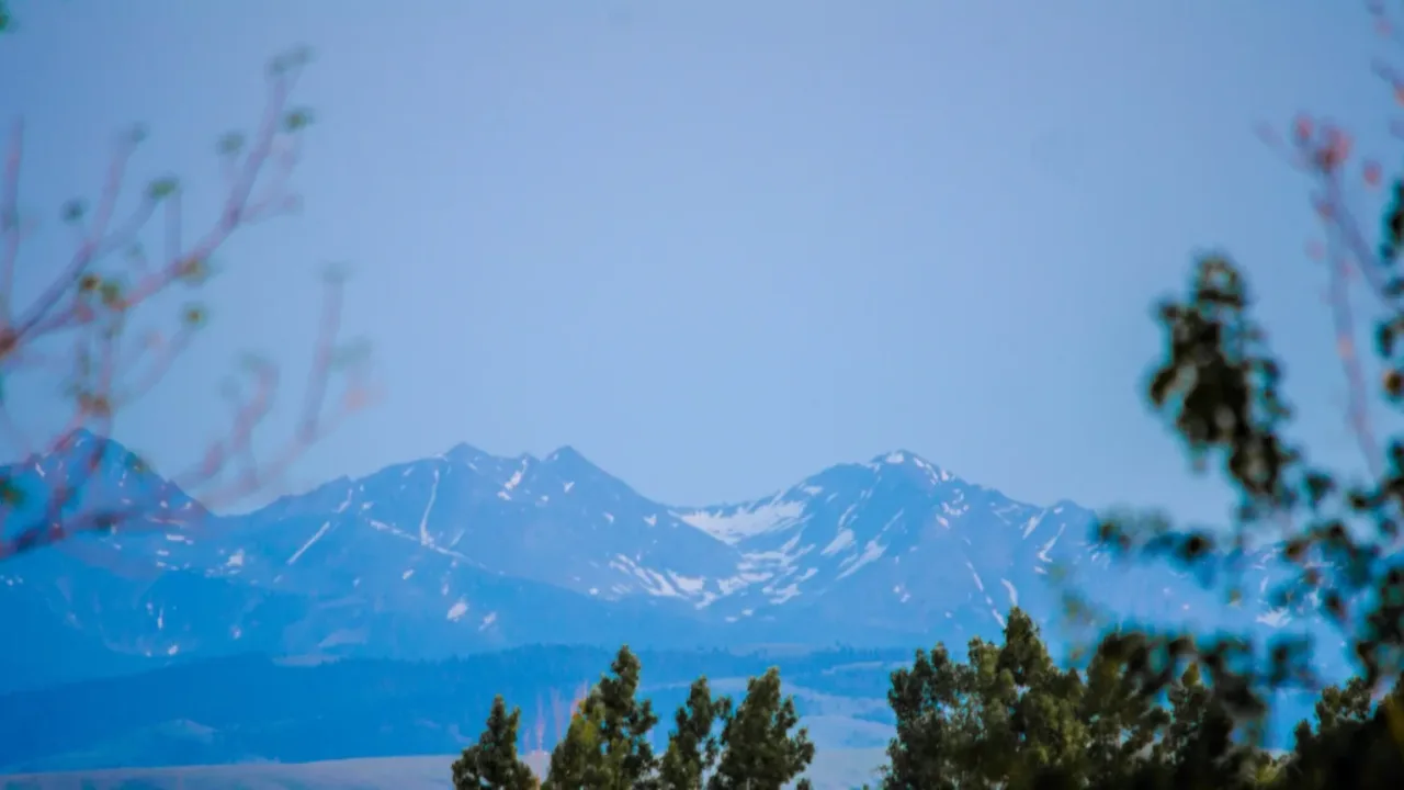
Most advisories expire late Tuesday night or by 11 a.m. Wednesday. Daytime highs will stay in the 30s and 40s through the week, and another storm system could arrive Thursday and Friday, NBC Montana reported.
Worth a look

North Dakota Audit: Bioscience Grants Went to Ineligible Recipients
North Dakota State Auditor Josh Gallion released an audit Tuesday showing the Bioscience Innovation Grant Program sent millions...

Pace University Rolls Out Revised Human Research Policies Section by Section
Pace University has begun rolling out a rewritten rulebook for research involving human participants, replacing its institutional policies...
Pace University Restructures Human Research Protection Program
Pace University has restructured its Human Research Protection Program, rolling out revised policies in sections as each wins...

Mountain West Football Rankings: New Mexico Remains No. 1 After UNLV Upset
Nevada Sports Net still has New Mexico at No. 1 in its Mountain West power rankings despite the...