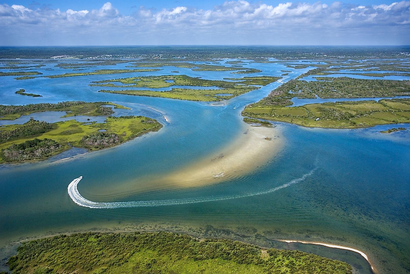
Nine stretches of the Atlantic coast still look the way the East Coast did before condos and boardwalks took over, World Atlas reported this week in a survey of undeveloped barrier islands from Georgia to Virginia.
The list reads like a roll call of places that said no: Cumberland Island, Core Banks, Assateague, Masonboro, Capers Island, the Virginia Eastern Shore chain, St. Catherines, Little St. Simons and St. Phillips.
Together they protect more than 100 miles of beach, dune, marsh and maritime forest that absorb storm surge, filter coastal water and host nesting loggerhead turtles, piping plovers and the wild horses that have roamed these sands for centuries.
Most Americans will never set foot on St. Catherines. The 14,640-acre Georgia island, owned by the nonprofit St. Catherines Island Foundation, is closed to the public except by invitation for research. Its isolation preserved a Spanish mission founded in 1566 and one of the most intact Guale archaeological records on the coast.
Access is the conservation tool
What links the nine islands is not a single agency but a shared barrier to entry. Core Banks has no bridge; visitors reach the Cape Lookout National Seashore by passenger ferry or private boat. Masonboro, just southeast of Wilmington, N.C., allows only kayaks, canoes and shallow-draft skiffs across the Intracoastal Waterway.
Capers Island, north of Charleston, requires a private boat or a guided excursion. The Virginia Eastern Shore’s 14 islands — Smith, Myrtle, Mink, Cobb, Rogue, Sandy, Parramore, Metompkin and others — are stitched together by the Nature Conservancy’s Volgenau Virginia Coast Reserve, the longest expanse of coastal wilderness remaining on the East Coast.

About 87 percent of Masonboro’s 8.4-mile length consists of marshes and tidal flats, World Atlas noted, a ratio that makes the island a nursery for fish and a fortress against erosion.
“The limited access has helped preserve the islands’ natural character, making them popular with people seeking solitude, fishing, shell collecting, and primitive camping.”
the report said of Core Banks, a dynamic that applies to every island on the list.
Wild horses, competing jurisdictions
Assateague Island splits the difference between Maryland and Virginia, and between two herds of wild horses. The Maryland herd roams freely inside Assateague Island National Seashore. The Virginia herd, owned by the Chincoteague Volunteer Fire Company, grazes in fenced compartments of Chincoteague National Wildlife Refuge. The contrast is visible from the parking lot at Ocean City, Md.: high-rise condos to the north, 37 miles of dune and marsh to the south.
Cumberland Island’s horses, descendants of Carnegie estate stock, share 17.5 miles of beach with armadillos, white-tailed deer and nesting loggerheads. More than 9,800 acres are designated wilderness, the largest such block on a East Coast barrier island. The ruins of Dungeness mansion, burned in 1959, remain the island’s most photographed landmark.
Private money, public benefit
St. Catherines and Little St. Simons illustrate a model that receives less attention than federal seashores: private nonprofit ownership at landscape scale. Little St. Simons, an 11,000-acre sanctuary off Georgia’s Golden Isles, operates as a low-occupancy lodge that funds conservation. St. Catherines runs breeding programs for endangered species and hosts archaeological field schools. Neither island appears on a state park map, yet both function as de facto reserves.
The Virginia chain shows what a land trust can stitch together. The Nature Conservancy began acquiring parcels in the 1960s; today the reserve buffers mainland communities from storm surge while supporting more than 250 bird species. Seasonal closures keep people above the high-tide line from April through August to protect nesting shorebirds.

The development that didn’t happen
Every island on the list faced a plausible development path. Cumberland nearly became a private resort in the 1960s before the Carnegie heirs sold to the National Park Foundation.
Masonboro survived a 1980s proposal for a bridge and 1,500 homes after local advocates pushed the state to buy it for the Coastal Reserve system. Capers Island was slated for a marina and condominiums before the South Carolina Heritage Trust Program acquired it in the 1970s.
What remains is a fragmented archipelago of restraint. They are not pristine — sea-level rise, invasive species and legacy contaminants cross every boundary — but they are undeveloped, and that distinction grows rarer each decade.

Harrisburg School District Disciplines Students After Assault on Camp Curtin Academy Principal
Principal Ryan Jones lost a clump of hair to a student’s grip while on the ground, the Harrisburg...

Salem Grocery Stores Open Thanksgiving Nov 26: Statesman Journal
Multiple grocery stores around Salem, Oregon, will open for limited hours on Thanksgiving Day, Nov. 26, while major...

Pediatric E-Bike and E-Scooter Injuries Are Surging in the Greater Boston Area
Pediatric e-bike and e-scooter injuries are surging in the Greater Boston area, prompting medical professionals to warn parents...

Hawley Comes up Empty in Minnesota Class 2A State Semifinals – InForum
Hawley came up empty in the Minnesota Class 2A State Semifinals, with Caledonia achieving a shutout in its...