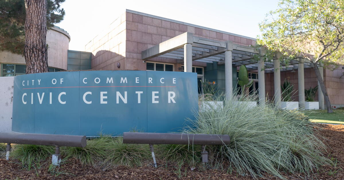
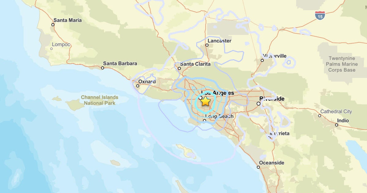
A 4.4 magnitude earthquake jolted the Los Angeles basin at 3:25 a.m. Friday, centered roughly one mile northwest of Commerce and five miles southeast of downtown, the U.S. Geological Survey confirmed.
The pre-dawn temblor ripped sleep from residents across a sprawl stretching from Lancaster, 80 miles north, to Poway, 115 miles south, prompting more than 7,500 “Did You Feel It?” reports to the USGS within the first hour. Los Angeles Mayor Karen Bass posted to social media that the quake likely woke many Angelenos, adding that there were no immediate reports of damage or operational impacts, including at LAX.
“While unsettling, there are no immediate reports of damage or operational impacts, including at LAX,” Bass wrote. “The LAFD and City teams will continue to monitor and update as needed.”
The Los Angeles Fire Department immediately entered “earthquake mode,” deploying personnel from all 106 neighborhood fire stations to conduct a strategic survey by land, air, and sea across the city’s 470-square-mile jurisdiction. By 5:30 a.m., the department declared the assessment complete with no significant infrastructure damage or injuries reported.
The fault beneath Commerce
Friday’s rupture occurred at a depth of approximately 10.6 miles, placing it in the complex web of faults underlying the Los Angeles basin rather than on the San Andreas proper.
While the San Andreas — the 800-mile boundary between the Pacific and North American plates — carries the region’s catastrophic reputation, seismologists emphasize that the basin sits atop hundreds of active faults, including the Puente Hills and Elysian Park thrust systems, capable of producing damaging shaking directly beneath dense population centers.
Jonathan Stewart, a UCLA professor of earthquake engineering, told USA Today that large ruptures on the San Andreas have occurred at intervals of roughly 150 years in some sections, but stressed those intervals are not a schedule. A section south of the 1857 Fort Tejon rupture has not seen a major event since approximately 1690, meaning significant stress has accumulated, though that does not make a quake “overdue” in any predictive sense.
The jolt / noise of that Earthquake was really no fun. 😩 #LAQuake
Jonathan Stewart, UCLA professor of earthquake engineering, told USA Today that most people will not be in a collapsed structure after this earthquake, but everybody is going to be affected by water problems.
Stewart’s warning highlights a systemic vulnerability: a major San Andreas event could sever the aqueducts importing water to Southern California, creating a humanitarian crisis long after the shaking stops.
Early warning, not prediction
California’s ShakeAlert system functioned as designed Friday, detecting the initial P-waves and pushing alerts to phones via Wireless Emergency Alerts, Android Earthquake Alerts, and the MyShake app. The system does not predict quakes; it detects an earthquake already underway and races the slower, destructive S-waves to users farther from the epicenter. Depending on distance, the warning arrives seconds before strong shaking — or after it has already begun.
The USGS maintains that neither it nor any other scientists have successfully predicted a major earthquake, and reliable prediction is not expected in the foreseeable future. Instead, the agency calculates probabilities: the chance of a magnitude 6.7 or greater striking the Los Angeles region in the next 30 years remains high, a figure that drives building codes and emergency planning.
A drill in the dark
For the 7,500-plus residents who logged shaking reports, and the millions more who felt the jolt without reporting it, Friday was a live drill. The LAFD used the moment to urge preparation: secure heavy furniture, store water, and practice “Drop, Cover, and Hold On.”
Residents in Koreatown, Inglewood, Silver Lake, Mar Vista, and Arcadia described brief, sharp shaking on social media, with one user on X calling the jolt and noise “really no fun.”
CBS News reported the department’s earthquake mode concluded shortly after 5:30 a.m., with normal operations resuming. “Use this event as a reminder to prepare for inevitable earthquake activity in our region,” the LAFD said.
Myths and mechanics of California quakes
Persistent myths cloud public understanding. California will not fall into the ocean; the San Andreas is a strike-slip fault where plates grind horizontally past each other at roughly 45 millimeters per year — the rate of fingernail growth. Over millennia, that motion shifts coastal California northwest, but the ground does not drop away.

What does happen during a major rupture is sudden horizontal displacement of several feet, intense shaking amplified by soft, water-saturated soils, and the risk of liquefaction turning firm ground into slurry. The 1994 Northridge quake, a magnitude 6.7 on a previously unknown blind thrust fault, killed 57 people and caused $20 billion in damage, proving the danger often lies beneath the neighborhoods, not just on the famous fault lines.
The Los Angeles basin is a sedimentary lowland bounded by the Santa Monica and Santa Ana mountains and the Puente Hills, whose floor bears elongate ridges and hills atop the Pacific plate’s edge.
Though geologically youthful and modest in size, it ranks among the world’s most prolific oil-producing basins, a yield tied to the same complex fault web — including the Newport–Inglewood zone and Puente Hills thrust system — that generated Friday’s rupture.
The Commerce temblor was a reminder, not a catastrophe. But the next one may not wait for a convenient hour.
Boston’s Iconic CITGO Sign Re-Lit After $8M Restoration Atop 660 Beacon St.
Boston’s iconic CITGO sign flickered back to life Thursday evening, six months after crews dismantled the 125,000-pound landmark...

Jacksonville Volleyball Sweeps West Florida to Reach ASUN Semifinals
Jacksonville Dolphins swept West Florida 25-23, 25-22, 26-24 on Thursday night in Fort Myers to reach the Atlantic...
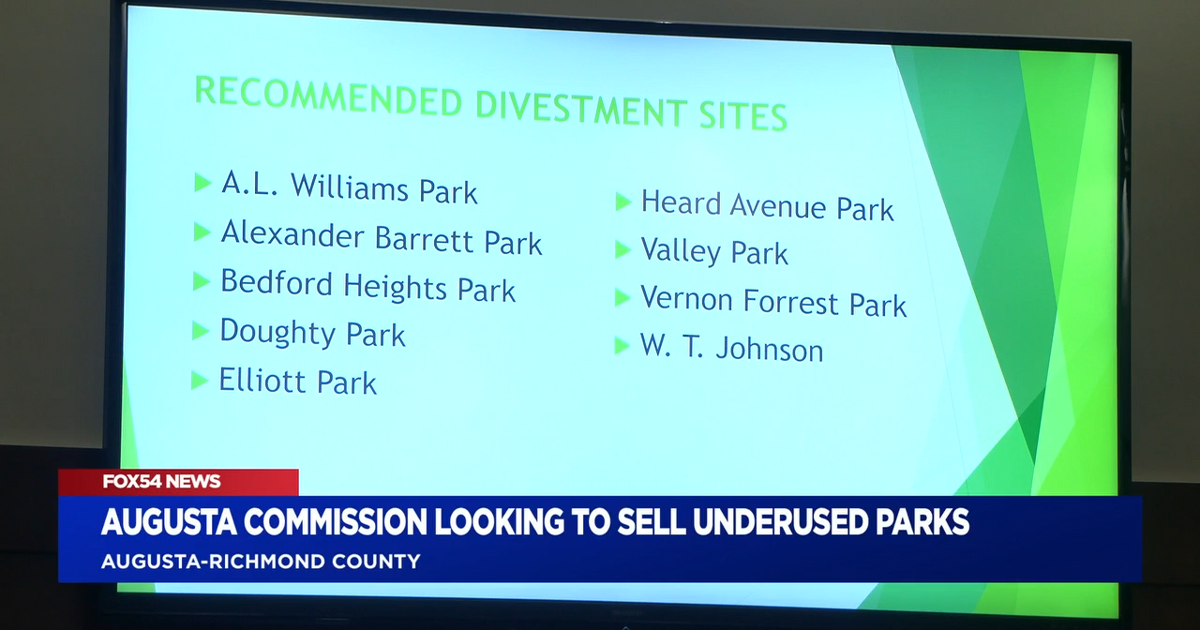
Augusta Commissioners Vote to Sell Six Neighborhood Parks
Augusta commissioners voted unanimously Tuesday to move ahead with selling six neighborhood parks, advancing a plan that would...

UTEP Sweeps Battle of I-10 for First Time in 16 Years with 84-69 Win at NMSU
UTEP completed its first sweep of the Battle of I-10 in 16 years Thursday night, handing New Mexico...