California and Sacramento leaders signed a memorandum of understanding Friday to stitch together a 48-mile river trail from Folsom to Freeport, backed by $2 million from the voter-approved Proposition 4 climate bond.
The agreement links the 32-mile Jedediah Smith Memorial Trail with the 16-mile Sacramento River Parkway, creating a continuous spine along the American and Sacramento rivers. The California Natural Resources Agency, Sacramento County, and the City of Sacramento formalized the partnership at a morning announcement in Sacramento County, GSM Global News reported.
“Filling gaps in this trail network, will make it easier for people to get to the rivers and move around the region in healthy ways,” said Wade Crowfoot, California Secretary for Natural Resources.
Seven miles of gaps and planned segments
The project targets 7.4 miles of missing connections. Four existing gaps total 2.4 miles: a half-mile on the Two Rivers Trail west of Sutter’s Landing Park, 0.3 mile at the Old Sacramento boardwalk, 0.1 mile in Miller Park, and 1.5 miles through Little Pocket.
Two planned segments add another 5 miles — a 1-mile Two Rivers Trail link and a 4-mile Sacramento River Parkway extension. Farther north, closing gaps along Dry Creek Parkway would loop back to the American River Parkway.

Proposition 4 money follows $22 million in prior investment
The $2 million earmark covers planning and land acquisition for the Two Rivers Trail, Wisevoter noted. It builds on $22 million the state has already directed to the area since 2016, including $2 million to plan the Two Rivers Trail, $10 million for Lower American River Parkway access improvements, and $10 million for other parkway projects.
Assemblywoman Maggy Krell said she secured the latest $2 million in the recent state budget. “Building out the Two Rivers Trail will make these crown jewels of Sacramento shine even more brightly,” she said.
County manages lower parkway section
Sacramento County oversees the 23-mile lower section of the 7,000-acre American River Parkway, from the Hazel Avenue bridge to the confluence with the Sacramento River. The City of Sacramento manages the Sacramento River Parkway and is developing the Two Rivers Trail as the critical link.
“Connecting the Parkway to neighboring river trails will make it easier for more people to experience these incredible natural spaces while strengthening the connections between our parks and communities,” said Liz Bellas, Director of Regional Parks for Sacramento County. “Just as importantly, this partnership gives us an opportunity to advance these improvements while continuing to protect the natural resources that make our parkways so special.”

A tree whose shade future generations will sit in
Mayor Kevin McCarty framed the work in generational terms. “In 2016, we created the Lower American River Conservancy Board to protect our American River. Today, that work continues with this MOU, which brings the City, the State, and Sacramento County together to connect our trails and make the river accessible to all,” he said.
“This work is like planting a tree whose shade we may never sit in. We’re doing it so future generations can enjoy the American River, the jewel of Sacramento.”
No new trail open yet; first phase is planning and acquisition
Residents shouldn’t expect immediate access. The initial phase focuses on planning and land acquisition, so the Jedediah Smith Memorial Trail and Sacramento River Parkway remain separate for now. The 2.4 miles of existing gaps have no construction schedule yet.
The California Natural Resources Agency traces its roots to the 1870 Board of Fish Commissioners, the nation’s first wildlife conservation agency, and the 1927 Department of Natural Resources. It became the Resources Agency in 1961 under Governor Edmund G. “Pat” Brown and adopted its current name in 2009. Today the cabinet-level agency stewards 100 million acres of land, hundreds of rivers and lakes, and more than 1,000 miles of coastline through 25 departments, conservancies and commissions.
CNRA launched a survey to simplify grant processes and is now providing technical assistance to prospective applicants, using this collaboration as a model for streamlining funding pathways.

Oberlin Play Uses Disney’s Lincoln Animatronic to Interrogate Price of Creative Ambition
An Oberlin College student production staged this past week used the creation of Disney's Abraham Lincoln animatronic to...

University of Alaska Fairbanks Athletics: No. 6 Alaska Nanooks Rifle Team Hosts No. 9 Air Force, No. 8 Kentucky This Weekend
The No. 6 Alaska Nanooks rifle team hosts No. 9 Air Force and No. 8 Kentucky this weekend...
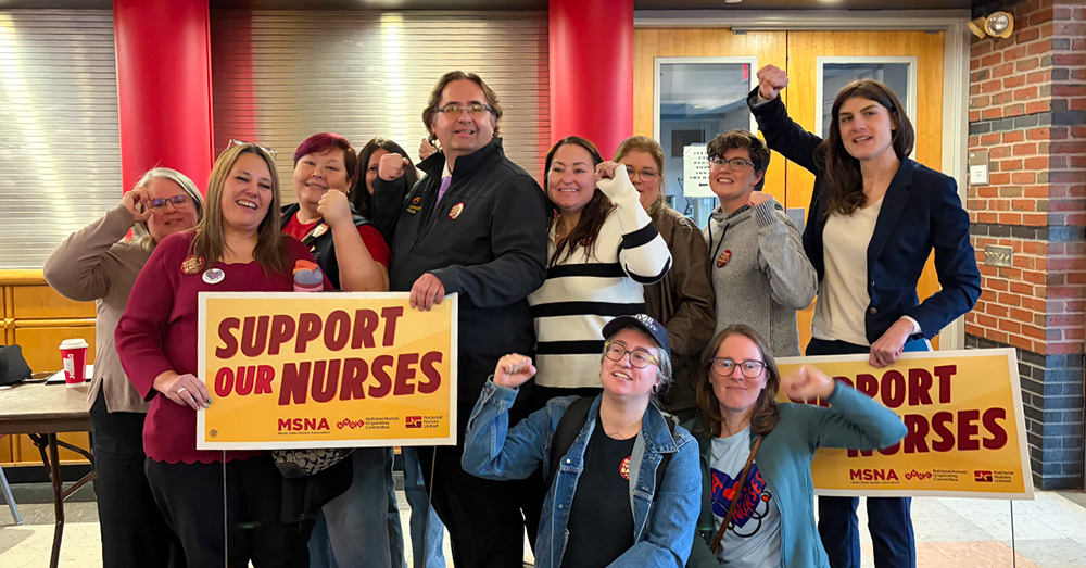
Six Nurses Tell Maine Regulators Firings Degraded Care, Violate Certificate of Need
Six nurses told Maine health regulators Thursday that Prime Healthcare’s firing and suspension of experienced staff has degraded...

Hernshaw Farms Seeks Community Help for Underground Mushroom Operation
"If you or someone you know has access to large subterranean spaces, let them know about Hernshaw Farms!"...