
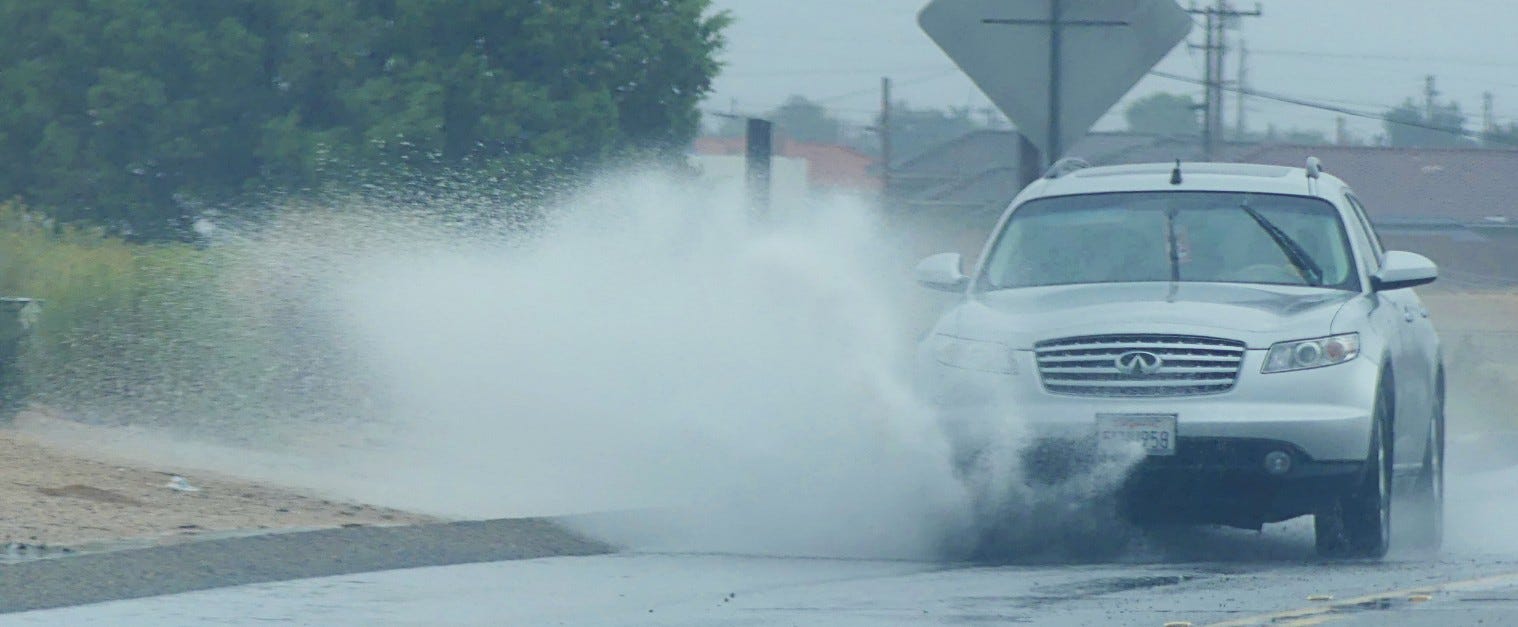
California faces a wetter-than-average Thanksgiving period this year, according to a long-range outlook released by the National Oceanic and Atmospheric Administration.
The Climate Prediction Center forecasts an increased likelihood of above-average precipitation across much of the state from November 21 through December 4. This window covers Thanksgiving week, including the Nov. 26 holiday and the days immediately before and after it.
Alongside the wetter trend, the federal forecast favors above-normal temperatures across the West Coast. That signal points toward a relatively mild but damp stretch heading into the holiday weekend, though the outlook does not predict specific storms, rainfall totals, or exact temperatures for Thanksgiving Day itself.
Rain chances stand out as a primary feature of the latest NOAA guidance. California carries some of the strongest probabilities in the country for wetter-than-normal conditions during the two-week span.
The outlook points to an increased flow of Pacific moisture into the western United States as a driving factor. NOAA models show differences in where the heaviest precipitation signal might settle, with some dynamical models favoring the Northwest while statistical guidance influenced by El Niño points toward higher probabilities across the Southwest.
The combination of those atmospheric signals tilts much of California toward above-average precipitation. That does not mean rain will fall continuously or that every region will receive identical amounts, nor does it establish whether precipitation will arrive as rain or mountain snow.
Despite the wet pattern, NOAA is not forecasting an unusually cold stretch for California. Above-normal temperatures are favored along the entire West Coast through early December, driven in part by above-average sea surface temperatures along the coast and a prevailing onshore flow of Pacific air.
El Niño remains the dominant influence on the broader atmospheric pattern. The climate phenomenon, characterized by warmer-than-average sea surface temperatures across the central and eastern equatorial Pacific, alters the position and strength of the Pacific jet stream.
That shift helps shape storm tracks and moisture availability across the southern United States and the West Coast. However, El Niño does not guarantee a rainy holiday or winter across every corner of the state, as shorter-term weather patterns and individual storm tracks will ultimately dictate regional differences.
Confidence in specific holiday conditions remains limited given the long-range nature of the data. NOAA’s Climate Prediction Center will update its extended guidance as the holiday approaches.
Worth a look
Xcel Energy Investigation Pending After Fatal Hopkins Pole Collapse
A utility pole collapsed onto a car in Hopkins, killing 31-year-old Kenny Green. Sunday marks 12 weeks since...

How El Niño Will Impact Michigan’s Winter Weather, Wildlife, and Agriculture
"You know, we'd build a snow fort in December, and it would still be there in February. And...

Ed Flynn Has a New Challenger for His Boston City Council Seat
Councilor Ed Flynn faces a fresh electoral challenge as community organizer and substitute teacher Rachel Pearson launches her...

ASMFC Votes to Reduce Menhaden Harvest and Limit Chesapeake Bay Catch
“ASMFC failed to follow its own ecosystem science when it mattered most,” Will Poston said in a statement...