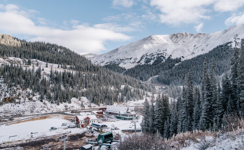
State officials report that Northwest Colorado needs significant snow accumulation soon to recover from lingering storage deficits and exceptional drought, even as an unusually wet autumn and a strong El Niño pattern bring mixed precipitation totals across the wider state.
Drought Relief Misses Northern Colorado
Colorado snowpack stood at 68% of normal on Monday, according to Brian Domonkos with the Colorado Snow Survey Program.
The 2026 water year left Colorado grappling with severe dry spells driven by record-smashing heat and a historically low winter snowpack. By Sept. 29, the U.S. Drought Monitor showed that 91% of Colorado was experiencing some level of drought, with 10% classified under exceptional drought across the central Western Slope.
Although a wet start to the 2027 water year eased conditions in the south, northern regions saw very different weather. Colorado Assistant State Climatologist Peter Goble noted during the Water Conditions Monitoring Committee meeting on Nov. 17 that northern basins were largely left out of the autumn storms.
“So while we’ve been soaked—and, in many cases, (seen) too much water around the state—it’s not so much true for a lot of the population of Colorado,” Goble said.
The Snowpack Deficit in Northern Basins
Statewide snowpack stood at 68% of normal on Monday, according to Brian Domonkos with the Colorado Snow Survey Program of the U.S. Department of Agriculture’s Natural Resources Conservation Service. While early October storms initially pushed numbers higher, those early gains proved superficial.
“Snowpack is quite thin to almost non-existent in most locations, even above treeline,” Domonkos said.
The north is feeling the shortfall most acutely. Domonkos pointed out that the Yampa, White and Little Snake River basin reached 26% of normal on Monday, flirting with record-low conditions close to those recorded in 2026.
Through mid-November to early December, the state enters a critical stretch for mountain precipitation. Officials warn that without consistent snow accumulation over the coming weeks, recovery will depend entirely on an unusually large spring season.
Reservoir Levels and El Niño Uncertainty
Surface water supplies remain strained despite dramatic changes in specific southern locations. The Navajo Reservoir, crossing between Colorado and New Mexico, rose over 50 feet over the past six weeks, reaching well above normal storage. Goble described that jump as atypical for a hydrologic regime normally dependent on spring snowmelt.
Many other western Colorado reservoirs continue to hold low storage volumes. At the same time, the current El Niño pattern—driven by warm Pacific Ocean sea surface temperatures—creates unpredictable outcomes for northern mountains.
According to the Climate Prediction Center, Northwest Colorado holds equal chances of registering above-average or below-average temperatures and precipitation through February.
“For some of our High Country areas that need the snow the most, there is not a great relationship between our El Niño and big snow,” Goble said.

Maryland Marked Thanksgiving Twice in 1696, Governor Ordered
Thanksgiving in colonial Annapolis 330 years ago involved no Black Friday sales or football games, as Maryland celebrated...

Maine Standard Offer Electricity Rates Set for 2027, Modest Bill Increases Take Effect in January
On Wednesday, the Maine Public Utilities Commission locked in standard-offer electricity rates for 2027, setting up modest bill...

Louisiana Tech Signs Four for 2027-28 Class Led by In-State Guard Garner
Louisiana Tech men's basketball secured its 2027-28 recruiting class Wednesday, signing three high school prospects and a junior...
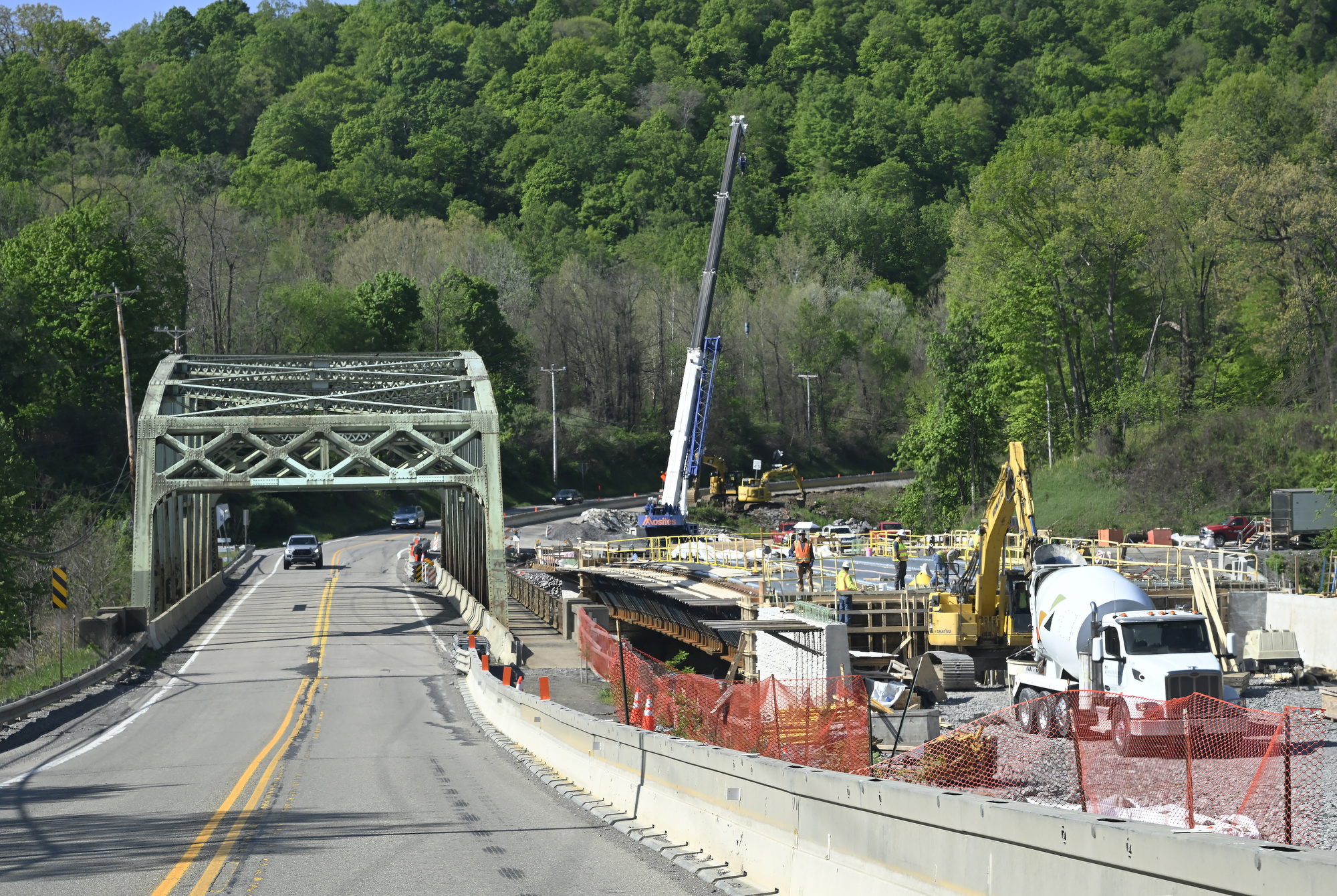
Pennsylvania Earns C- on 2026 Infrastructure Report Card as Aging Water, Transit Systems Drag Grade Down
Pennsylvania earned a C- on its 2026 infrastructure report card, the American Society of Civil Engineers said Tuesday...