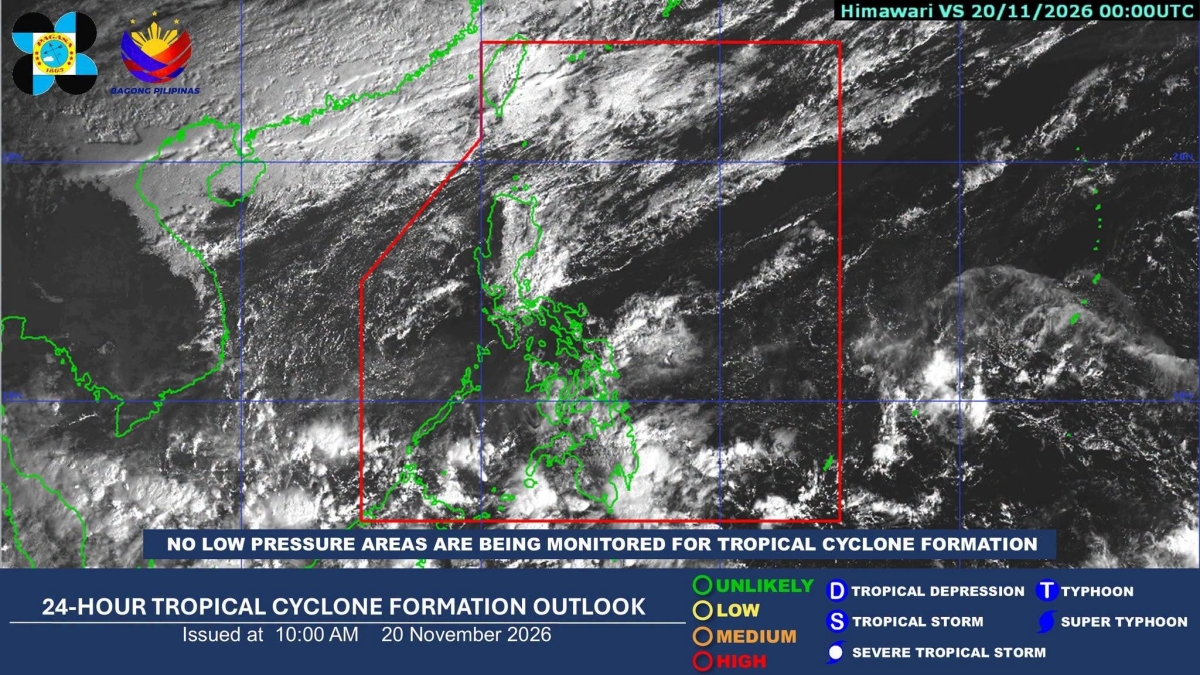
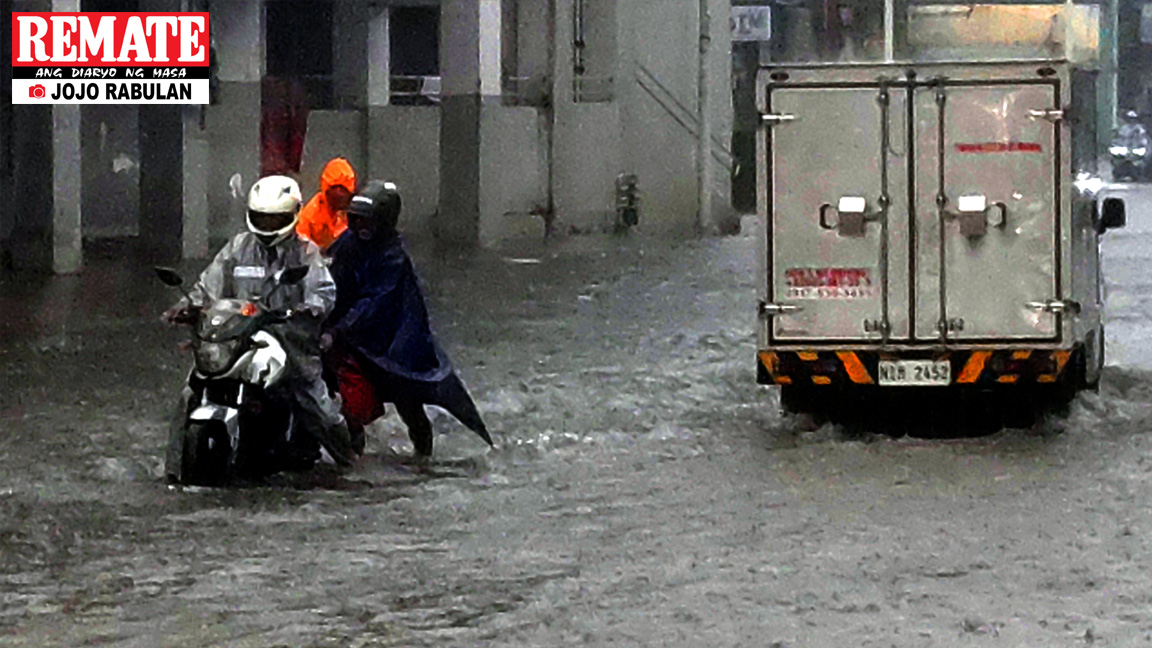
Heavy rain from a shear line will drench eastern Luzon through the weekend before the system collapses on Monday, the state weather bureau said Friday, with Cagayan and Isabela bracing for up to 100 millimeters of rain in each 24-hour period.
The Philippine Atmospheric, Geophysical and Astronomical Services Administration (PAGASA) warned that the shear line — the boundary where the cold northeast monsoon (amihan) meets warm easterlies — will persist over Cagayan, Isabela and Aurora through Sunday, raising the risk of flash floods and landslides in mountainous and low-lying areas. By Monday, the bureau expects the system to recede and its influence to disappear.
Weather specialist Obet Badrina described the shear line as “the collision of the cold amihan (northeast monsoon) and warm easterlies”.
PAGASA’s 11 a.m. advisory laid out three consecutive 24-hour windows of heavy rain: 50–100 mm from Friday until noon Saturday over Cagayan and Isabela; the same amount from noon Saturday until noon Sunday across Cagayan, Isabela and Aurora; and again 50–100 mm from noon Sunday until noon Monday over Cagayan and Isabela. Rainfall could be higher in elevated terrain, and prior saturation may worsen impacts.

“We anticipate that rainy weather is likely from now until Sunday in this part of the country—specifically along the coastal areas of Cagayan and Isabela,” PAGASA weather specialist Obet Badrina said.
John Manalo, another PAGASA weather specialist, confirmed the timeline in a public forecast: “Eventually, by Monday, it will recede, the influence of shearline will disappear”, adding that “by Monday the shearline … will disappear, which affects and brings cloudy skies to Luzon”. Metro Manila and the rest of Central and Southern Luzon will see generally fair weather with only isolated afternoon showers.
While the shear line dominates the northern outlook, three other systems are driving rain elsewhere. The intertropical convergence zone (ITCZ) is bringing scattered rains and thunderstorms to Mindanao, Central Visayas, Palawan, Leyte, Southern Leyte, Negros Oriental and Siquijor through the weekend, shifting to Northern Mindanao, Soccsksargen, Caraga, Davao Region and Palawan by Sunday through Tuesday.
Easterlies will affect Eastern Visayas, Albay, Sorsogon and Masbate Friday, then Eastern and Central Visayas through Monday. The northeast monsoon continues to bring cloudy skies with rain over Batanes, the Babuyan Islands and Apayao, with isolated light rains in Ilocos Region and the rest of the Cordillera Administrative Region.
PAGASA also flagged dangerous heat index values Friday despite the rain: up to 43 °C in Puerto Princesa City and Zamboanga City, 42 °C in Aborlan (Palawan), Borongan City and Iba (Zambales), with 14 other areas expected to reach at least 40 °C. The agency advised the public to limit outdoor exposure from 10 a.m. to 3 p.m., wear light clothing, use umbrellas or hats, and stay hydrated.
As of 8 a.m. Friday, PAGASA was monitoring no low pressure areas for tropical cyclone formation within the Philippine Area of Responsibility (PAR), a condition expected to hold through the coming week.
Moderate to rough seas persist in Northern Luzon, and small vessels are advised to exercise caution. Regional services divisions may issue heavy rainfall warnings, thunderstorm advisories and other severe weather bulletins as conditions evolve; the next national advisory was scheduled for 5 p.m. Friday unless significant changes occur.
Keep reading

New Orleans Street Performers Protest Bourbon Street Curfew Enforcement at City Hall
Street performers gathered at New Orleans City Hall on Thursday to protest an 8 p.m. curfew enforcement that...

Dispatch: Ohio State Must Fix Road Penalties, Contain Colandrea at Nebraska
Ohio State takes its final regular-season road test at Nebraska on Saturday, a week before the Michigan showdown...
Ohio Republicans Send Sweeping Gun Expansion to DeWine, Lowering Permitless Carry Age to 18
Ohio Republicans rammed through one of the state’s most sweeping expansions of gun rights in years on Wednesday,...

Indiana State Tops SEMO 75-68 for First Road Win, Fourth Straight Victory
Indiana State beat Southeast Missouri State 75-68 on Thursday night in Cape Girardeau for the program's first road...