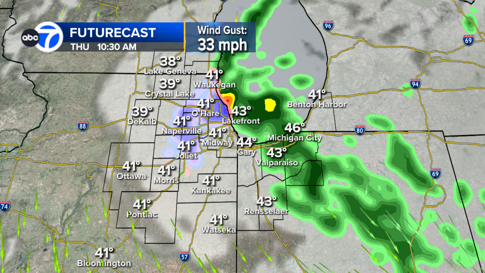
The Chicago area may see its first snowfall of the season this week, as lake-effect rain and snow showers are expected to develop Thursday morning. According to ABC7 Chicago, the weather pattern will fluctuate between the Illinois shoreline and northwest Indiana before shifting toward Indiana on Friday.
While a full-scale winter storm isn't currently the forecast, the arrival of frozen precipitation marks the region's transition toward winter weather. The moisture, driven by lake-effect patterns, could bring a mix of snowflakes and rain to the immediate shoreline areas throughout the early part of the week.
Lake effect bands shift toward Indiana
The timing of the precipitation is set to begin early Thursday morning. ABC7 Chicago reported that lake-effect rain will develop during these morning hours, with the specific bands of weather fluctuating between the Illinois shoreline and northwest Indiana.
As the weather pattern evolves, the focus of the moisture will move geographically. By Friday morning, the lake-effect activity is expected to be pointed mainly toward northwest Indiana. This progression means that while some residents near the lake may see a mix of snow and rain on Thursday, the brunt of the activity will settle further east as the week progresses.
The impact on the ground may vary depending on the exact location of these bands. ABC7 Chicago said that the lake effect could continue through Friday and into the early hours of Saturday morning, which may result in the creation of some slush in grassy areas across northwest Indiana.
Chilly temperatures follow a dry weekend
Once the lake-effect system moves through, the weather pattern is expected to stabilize. The rest of the Chicago area is forecasted to have a dry, sunny weekend.
Despite the sunshine, the air will remain brisk. Temperatures are expected to stay on the chilly side, with highs hovering in the 40s. This shift toward cooler, drier air follows the initial moisture brought by the Thursday and Friday lake-effect bands.
For those monitoring local conditions, radar updates remain available for several specific regions, including:
- Cook County
- DuPage County
- Will County
- Lake County
- Northwest Indiana
Weather updates will continue to be monitored as the transition from autumn rain to early winter snow unfolds.

Minnesota Frost is Hiring Coordinator for Fan Development and Group Sales
The Minnesota Frost is hiring a Coordinator of Fan Development and Group Sales to drive brand awareness and...
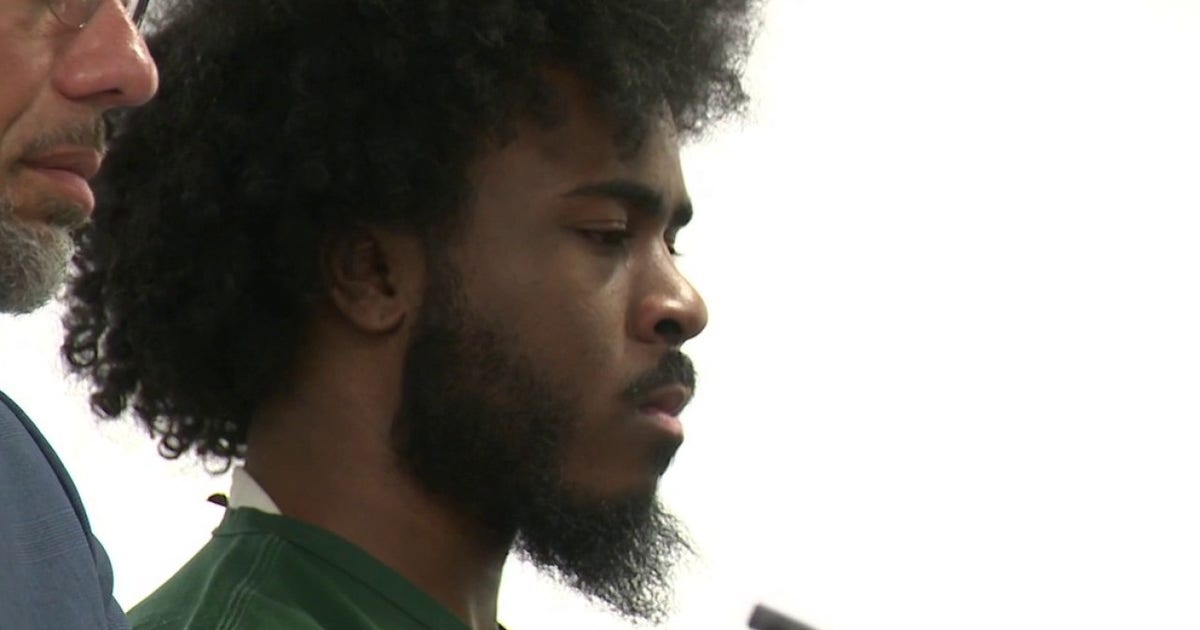
Bond Denied for Detroit Mass Shooting Suspect Christopher Gouch
A Detroit judge denied bond for Christopher Gouch during a preliminary hearing following a September mass shooting that...

Federal Judge Dismisses DOJ Challenge to Montgomery County Gun Law
A federal judge dismissed the Justice Department's attempt to block a Montgomery County law restricting firearms in public...
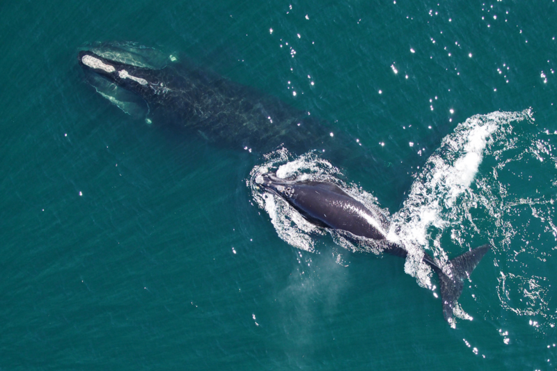
New NOAA Findings May Ease Right Whale Fishing Rules in Maine
Maine’s lobster industry is finding a rare moment of relief following a November 5 announcement from federal regulators....