
A Freeze Warning remains in effect until 10:00 AM for Franklin, Pickaway, Pike, and Ross counties, according to a report from ABC 6.
The frosty start to Sunday morning brings immediate risks to local gardens and sensitive outdoor infrastructure. While the morning chill is sharp, temperatures are expected to rebound into the upper 50s under sunny skies by the afternoon.
The weather pattern will bring large temperature swings for local residents. After the morning freeze, the day will remain mostly sunny and breezy with a high of 58 degrees.
The current stretch of sunshine is expected to persist through the beginning of the work week. Forecasts indicate that Monday will see mostly sunny skies with a high of 58 degrees, while Tuesday will offer warmer conditions with a high of 64 degrees.
Residents should prepare for a return to more volatile weather by the end of the week. A low-pressure system is projected to track through the area by late Wednesday night and Thursday, bringing the possibility of scattered rain showers.
The arrival of this system will be accompanied by a surge of colder air. On Friday, highs are expected to drop into the low 40s.

Meteorologists are monitoring the potential for wintry precipitation as the cold air moves in. While the primary forecast involves rain, some lake-effect showers could impact northern Ohio, potentially bringing the first flakes of the season to that area.
For those living in Central Ohio, the situation remains somewhat uncertain. ABC 6 reported that officials cannot completely rule out a few flakes mixing in with the rain during the upcoming system.
The cold snap appears to be a temporary disruption to the warming trend. Temperatures are expected to rebound again by next week following the Friday chill.
| Day | Condition | Forecast High |
|---|---|---|
| Sunday | Mostly sunny and breezy | 58°F |
| Monday | Mostly sunny | 58°F |
| Tuesday | Mostly sunny | 64°F |
| Friday | Rain/Cold air surge | 40s°F |
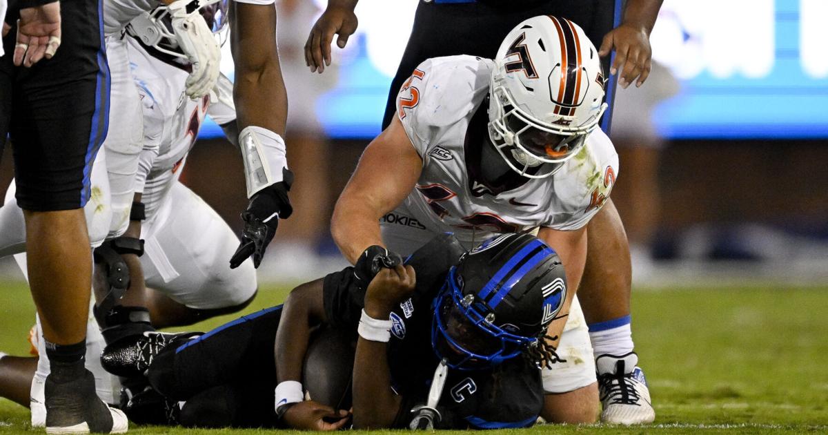
Virginia Tech Falls to SMU as Execution Gaps Emerge
Virginia Tech fell to SMU in a contest that highlighted significant gaps in the Hokies' execution, according to...

Texas Longhorns Defeat Missouri 34-20 as Arch Manning Throws Three TDs
Texas secures road win in Columbia The No. 7 Texas Longhorns moved closer to the College Football Playoff...

CFP Committee Ranks Tennessee Behind Alabama Despite Win, USA Today
The CFP committee ignores head-to-head results The College Football Playoff selection committee has prioritized subjective conjecture over direct...

North Dakota Beats Minot State 84-68 in Women’s Basketball Exhibition
Lara Dobbins scores 21 in Minot State exhibition loss Lara Dobbins scored 21 points to lead the Minot...