A Global Volcanic Surge Tests Aviation and Coastal Communities
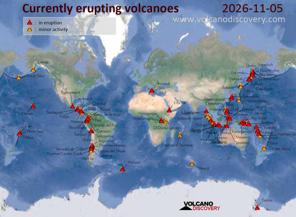
A volcano in Ecuador sent an ash plume soaring to 19,000 feet on Thursday, November 5, 2026, while a deadly pyroclastic flow raced down the slopes of Indonesia’s Semeru, highlighting a day of heightened volcanic activity monitored by global aviation authorities, Volcano Discovery reported.
The High-Flying Threat to Global Skies
At 11:30 UTC on November 5, the Volcanic Ash Advisory Center (VAAC) in Washington warned of an ash plume from Sangay rising to an estimated 19,000 ft (5,800 m), or flight level 190. This kind of altitude places it directly in the path of commercial air traffic, which typically operates at cruising altitudes above 30,000 feet. While not a direct threat to most passenger jets, such plumes can cause significant disruptions to regional air travel, forcing flight diversions and cancellations. The danger lies in the abrasive nature of volcanic ash, which can be catastrophic if ingested by a jet engine, potentially causing it to fail mid-flight.
The same cannot be said for the plumes from other Indonesian volcanoes like Karangetang and Dukono, which are reaching altitudes of 9,000 ft and 8,000 ft respectively. While still a concern for aviation, particularly for smaller aircraft and helicopters, these lower-level ash clouds pose a more immediate and direct threat to local populations. They can cause respiratory problems, contaminate water supplies, and lead to crop failure, creating a prolonged public health crisis long after the visible plume has dissipated.
The Ground-Level Danger in Indonesia and Guatemala
The most severe threat on November 5 was not in the sky but on the ground in Indonesia. A strong eruption at Semeru volcano on the island of Java triggered a pyroclastic flow, a deadly, turbulent hot avalanche of lava rock fragments and gas, racing down its southern slope at about 09:30 AM local time. The event was likely triggered by the gravitational collapse of a lava dome in the inner summit crater. The flow formed secondary ash columns, or “phoenix clouds,” that rose about 700 meters above the summit. These pyroclastic flows are among the most dangerous volcanic phenomena, capable of obliterating everything in their path at speeds of hundreds of kilometers per hour.
Meanwhile, in Guatemala, two volcanoes showed signs of unrest. Fuego, one of the country’s most active, reported sporadic volcanic ash emissions, though no specific plume height was noted. A short distance away, Santiaguito also saw possible emissions, but satellite imaging could not confirm the presence of an ash plume. The VAAC in Washington issued a bulletin for Popocatépetl in Central Mexico, simply stating “possible continuous volcanic ash emissions,” a vague but persistent warning for the millions living in the shadow of the iconic volcano.
The Unseen Threat: When Volcanoes Go Dark
A fascinating and critical aspect of modern volcanic monitoring is the challenge of detecting activity when it doesn’t produce a clear signal. In Kamchatka, Russia, the Anchorage VAAC issued a volcanic ash advisory for Sheveluch but could provide no observed ash plume height, citing a lack of recent observation details. In Japan, an explosion at Sakurajima was reported at 13:17 UTC, but by 13:10 UTC, no volcanic ash cloud could be identified in satellite data. These instances highlight the limitations of our current technology; a volcano can be active and dangerous even when it doesn’t fit our neat data models.

This is not an isolated issue. The Chilean Nevados de Chillán showed no ash emission as of 15:20 UTC, and forecasts predicted a clean slate for the next 18 hours. In Colombia, Puracé had reported emissions on November 4, but satellite imagery failed to detect ash, possibly due to intervening weather clouds. This creates a dangerous paradox: a lack of observable ash is not always a sign of safety. It can mean the volcano is simply hiding its activity, or that the ash is being dispersed in a way that makes it invisible to our satellites, potentially posing an unforeseen hazard downwind.
The American Connection: Supply Chains, Skies, and Security
While none of the current eruptions directly threaten major transoceanic routes, the persistent activity at multiple points around the Pacific Rim shows how fragile global trade networks can be.
The eruption of Semeru has triggered the very real threat of lahars—volcanic mudflows—as rain mixes with the fresh ash.
The current data provides a clear snapshot, but volcanoes are inherently unpredictable. The quietest volcano can awaken with devastating force, and the most active can fall silent without warning. For now, the world’s VAACs and monitoring agencies are watching, a global network on constant guard against the restless power of the Earth.
Worth a look

Democrats projected to gain Congress majority as Trump rails against results
A Historic Blue Wave Washes Over Congress, Trump Lashes Out President Donald Trump is railing against the midterm...

Actress Kimmarie Johnson Dies at 50 After Medical Emergency
Actress and model Kimmarie Johnson, known for her roles in Beverly Hills, 90210 and Dude, Where's My Car?,...

Melania Trump Hosts Russian and Ukrainian Officials at White House to Push for Lasting Peace
First Lady Melania Trump Urges Enduring Peace as She Hosts Russian, Ukrainian Officials “Together, we can create something...
Coordinated bomb threats disrupt at least 25 flights across Europe
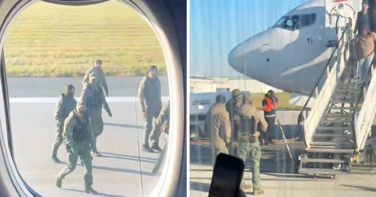
European Airspace Paralyzed by Coordinated Bomb Threats Coordinated bomb threats against passenger airliners disrupted European skies on Thursday,...