
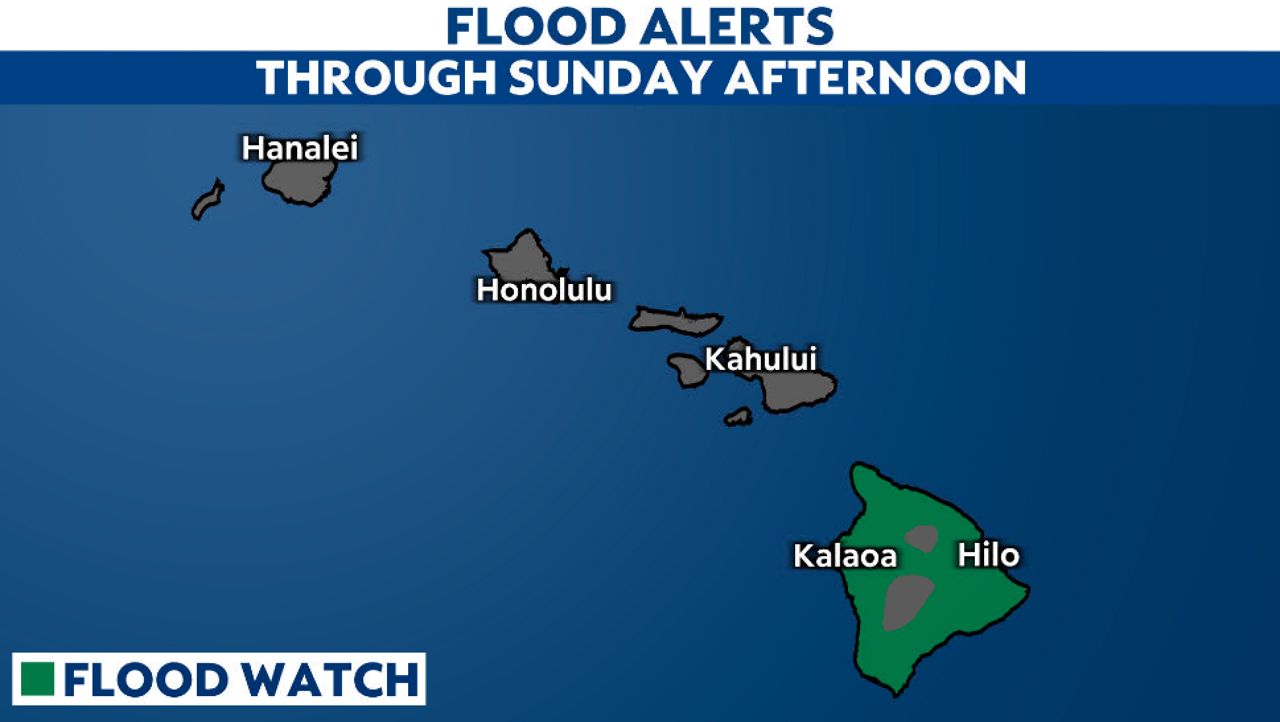
A Flood Watch is currently in effect across the entire state of Hawaii through Thursday morning as the remnants of a system named Olana dump intense rainfall across the island chain. With 5 to 8 inches of rain possible from Oahu to the Big Island, meteorologists warn that the interaction between this tropical moisture and Hawaii’s steep mountainous terrain creates a significant risk of flash flooding and mudslides in high-elevation areas, FOX Weather reported.
This isn’t just a passing shower. A broad, active tropical conveyor is currently funneling a deep reservoir of moisture northward, pinning a “slug” of heavy precipitation over the islands. For residents, the stakes are immediate: over 5 inches of rain have already fallen across the islands this week, and the Forecast Center expects an additional 5 inches to hit areas stretching from Maui to the Big Island.
🌊 🌧️ FLOOD WATCH: Olana has transitioned to a remnant low, but impacts to Hawaii continue, with the entire state under a Flood Watch as heavy rain and coastal flooding are expected to begin today and continue through this week. pic.twitter.com/o9idVK75um
The Topographic Trap
The danger here is a matter of geography. When a tropical plume of moisture hits the vast, mountainous terrain of the Hawaiian Islands, the air is forced upward, cooling and condensing into torrential downpours. This process, known as orographic lift, effectively turns the mountains into rain-makers, concentrating the heaviest rainfall on Oahu and the surrounding islands.
The immediate threat is twofold. In the highlands, the saturated soil becomes unstable.
While the Flood Watch expires Thursday morning, the moisture isn’t vanishing instantly. Rain is expected to linger through Friday, meaning the ground will remain saturated and the risk of secondary landslides will persist even after the primary storm system shifts.
Who Bears the Brunt
The impact of this soaking is not distributed evenly. For areas stretching from Maui to the Big Island, persistent heavy rain will fuel a serious flood threat along with mudslides in higher elevated areas.
Comparing the Rainfall Threat
| Region | Reported Rain (To Date) | Additional Expected Rain | Primary Risk |
|---|---|---|---|
| Oahu & Surrounding Islands | 5+ inches | Up to 8 inches (Total) | Flash Flooding |
| Maui to Big Island | 5+ inches | Up to 5 inches (Additional) | Mudslides / High Elevation Flooding |
The current situation highlights a recurring vulnerability for the Aloha State. The combination of a “tropical conveyor” and mountainous terrain creates a predictable but deadly recipe for flooding. As the remnants of Olana continue to soak the islands, the focus shifts from forecasting the rain to managing the runoff.
The window for preparation is closing. With the heaviest rain concentrated in the coming hours and days, the priority for thousands of residents is now simply staying clear of the rising waters and unstable slopes.
Related reading

NFC West Arms Race: Potential Trade Targets for the LA Rams
The Los Angeles Rams are currently staring at a mathematical gap in the NFC West that feels wider...

Northwestern Volleyball Plays Illinois and Hosts Rutgers This Weekend
The Northwestern Wildcats volleyball team enters a weekend of Big Ten action, beginning with a match against Illinois...

NOAA Deploys Drone sailboats to Track El Niño in equatorial Pacific
“A monumental El Niño is knocking at the door,” Michael McPhaden, a former senior scientist at PMEL now...
NIC earns $179,023 MSHA grant for mine safety training program
North Idaho College has secured a $179,023 grant from the Mine Safety and Health Administration (MSHA) to sustain...