
Michigan’s winter is already knocking on the door, with the Upper Peninsula recording early October flurries even as forecasters point toward a milder-than-normal season overall. According to data and outlooks outlined by the National Weather Service, residents can expect the first measurable snowfall depending on the region.
When will the first measurable snow hit Michigan?
Winter usually makes its official introduction in stages across the state. The Upper Peninsula has already seen early signs of the season, with the National Weather Service reporting flurries in the Marquette area on Oct. 7 and Oct. 16, alongside Ishpeming on Oct. 16. On average, Upper Michigan typically records its first snowfall by Oct. 17.
Farther south, the transition takes a bit longer. Southwest Michigan usually sees snow sooner than Metro Detroit, with Grand Rapids averaging its first snowfall on Nov. 6. For Metro Detroiters, the National Weather Service and the Farmers’ Almanac point to November for the first measurable snowfall of at least 0.1 inch, with historical NWS data showing that milestone typically lands right around Nov. 16.
Historical extremes show just how variable Michigan’s autumn transitions can be. The earliest recorded date for at least 0.1 inch of snow in the Detroit area was Oct. 12, 2006. On the opposite end of the spectrum, the area waited until Dec. 29 in 1998 for its first measurable accumulation. Typically, Detroit reaches the 1-inch mark by around Nov. 30 and hits 3 inches by Dec. 26.
How cold and snowy will the 2026-27 winter be?
In its 2026-27 Winter Outlook, the NWS Climate Prediction Center calls for above-normal temperatures across the entire state for December, January, and February. Precipitation-wise, the northern and central parts of the Lower Peninsula, as well as the entire Upper Peninsula, are favored to see below-normal amounts. Meanwhile, the southernmost tier of the state sits with equal chances of above- or below-normal precipitation.
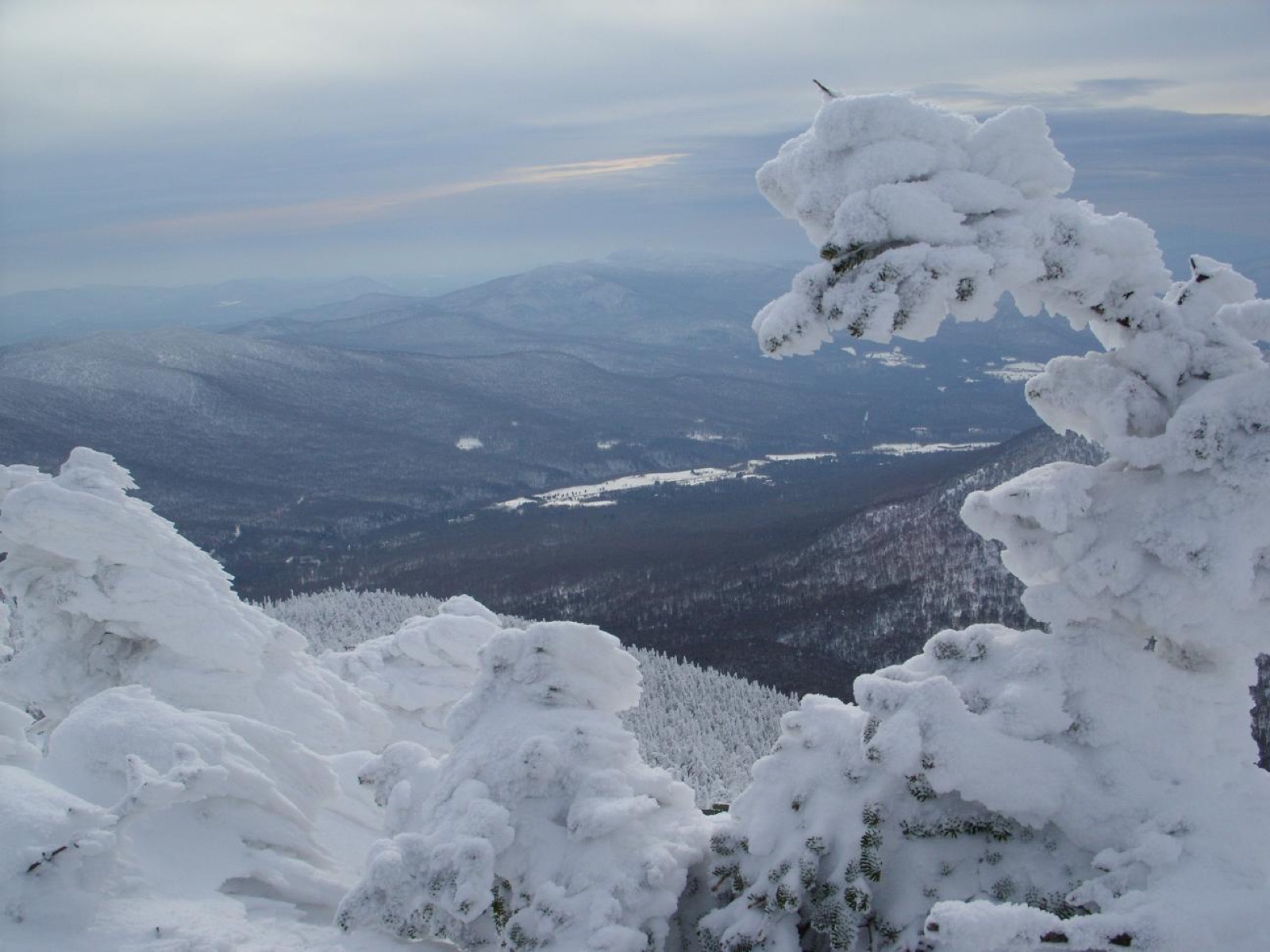
Other climate models and historical data also lean toward above-normal temperatures and below-normal precipitation. However, the NWS cautions that seasonal trends do not eliminate short-term volatility. The agency notes that shorter-term cold outbreaks, wet periods, and heavy snowfalls remain entirely possible.
For those tracking normal seasonal baselines in Detroit, the NWS lists the standard temperature ranges and snowfall averages through the core winter months:
| Month | Normal High (°F) | Normal Low (°F) | Average Snowfall |
|---|---|---|---|
| December | 37.2 | 25.3 | 8.9 inches |
| January | 32.3 | 19.2 | 14.0 inches |
| February | 35.2 | 16.7 | 12.5 inches |
What role does El Niño play in the forecast?
A strong El Niño is currently underway in the tropical Pacific Ocean, with ocean temperatures remaining well above average across the central and eastern regions. According to the NWS, this climate pattern will persist through the winter months.
In its August 13 ENSO Diagnostic Discussion, the Climate Prediction Center gave a greater than 90% chance of a very strong event during the fall and winter, with a 69% chance that the October–December season sets a record for any El Niño since 1950. In Michigan, a strong El Niño typically tilts the odds toward a milder winter with lighter overall snowfall totals.
Even so, meteorologists emphasize that seasonal averages do not tell the whole story. Lake-effect snow belts can still accumulate significant snow when the Great Lakes remain open and incoming air is sufficiently cold. Seasonal snowfall totals in strong El Niño years have historically run below average due to warmth rather than a lack of storms, and other climate signals can intervene.
The NWS Winter Outlook points out that shorter-term atmospheric drivers—such as the Arctic Oscillation, the North Atlantic Oscillation, and stratospheric warming events—can emerge at any time to heavily influence local conditions on weekly-to-monthly scales.

Libertarian Candidate Calls Native Peoples ‘Pets’, Native News Online Says
Montana Senate Debate Erupts After Libertarian Candidate Calls Native Americans "Pets" During a maternal health forum in Billings,...
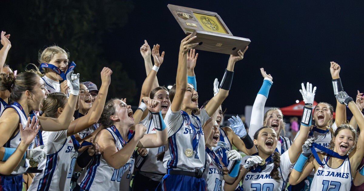
St. James Academy Wins Inaugural Kansas Girls Flag Football State Championship
St. James Academy Claims Kansas’s First Girls Flag Football Championship History arrived on a Tuesday evening in late...

Pete Buttigieg Campaigns for Scott Colom in Mississippi Senate Race
Pete Buttigieg Pushes Mississippi Voters to Send Shockwaves in High-Stakes Senate Race Former U.S. Transportation Secretary Pete Buttigieg...

Netflix Hit Nobody Wants This Season 3 Name Drops Minneapolis in Hilarious Scene
Netflix Hit Name-Drops Minneapolis as Season 3 Lands Season 3 of the hit Netflix romantic comedy Nobody Wants...