
A fast-moving cold front will sweep across northeast Kansas Saturday, dropping temperatures nearly 30 degrees and bringing a line of showers and isolated thunderstorms before Thanksgiving week settles into a quiet, seasonal pattern.
The National Weather Service in Topeka issued the zone forecast at 3:22 a.m. CST Saturday, highlighting a sharp wind shift from southerly gusts to sustained northwest winds of 15 to 20 mph with gusts up to 30 mph behind the front, Hastings Tribune reported.
The front passes Saturday
South winds will push highs into the low-to-mid 60s across the region during the morning hours. By afternoon, the wind shifts northwest and temperatures fall into the upper 50s.
Rain chances peak at 50 to 100 percent depending on location, with the highest coverage — near 100 percent — expected around Marysville, Blue Rapids, Frankfort, Sabetha, Seneca, Manhattan, Wamego, St. Marys, and the Jefferson County cities of Valley Falls, Oskaloosa, Perry, McLouth, Grantville, Meriden, and Nortonville.
A slight chance of thunderstorms accompanies the showers this afternoon and evening. No severe weather is expected, but brief heavy downpours and lightning are possible.
Thanksgiving week turns quiet and cold
Once the front clears, high pressure builds in. Sunday dawns sunny but much cooler, with highs only in the upper 40s and north winds gusting to 25 mph. Sunday night lows drop to the mid-20s.
Monday and Tuesday stay mostly sunny to partly cloudy with highs in the low-to-mid 40s and lows in the low-to-mid 20s — the coldest air of the season so far for many spots. Wednesday through Thanksgiving Day remain dry and seasonable under partly cloudy skies, highs in the mid-40s, lows in the low-to-mid 20s.
Worth a look
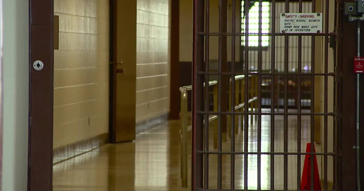
Milwaukee Judge Criticizes Evers Over Commutations During Zollicoffer Sentencing
Milwaukee County Judge David Borowski sentenced Thomas Seville Zollicoffer to three life terms without release and warned that...

No. 13 Iowa at Illinois: Time, TV Channel, Odds
No. 13 Iowa travels to Champaign on Saturday for a 1:30 p.m. CT kickoff against Illinois at Gies...

Mavericks host Clippers Saturday at 7 p.m. CT at American Airlines Center
The Dallas Mavericks host the Los Angeles Clippers on Saturday at 7 p.m. Central time at American Airlines...

WV Auditor Hunt Sent Demands to City His Office Audits, Report Says
West Virginia Auditor Mark Hunt sent settlement demands to Charleston city officials while his office is responsible for...