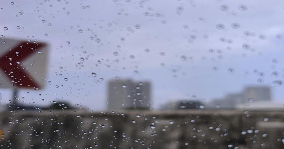
Travelers heading through major regional ports during the Undas holiday period faced disrupted weather conditions as three distinct weather systems converged across the Philippines. While parts of extreme Northern Luzon braced for the northeast monsoon, low-pressure disturbances and shear lines threatened other regions with flash floods and landslides, GMA Network reported.
Monsoon Rains Hit Northern Luzon as Typhoon IN-FA Approaches
The Philippine Atmospheric, Geophysical and Astronomical Services Administration (PAGASA) reported that the northeast monsoon, locally known as amihan, brought cloudy skies and isolated rains to parts of extreme Northern Luzon on Monday. Specifically, the Ilocos Region, Cordillera Administrative Region, and Cagayan Valley experienced partly cloudy to cloudy skies with isolated light rains carrying no significant impact.
Further out, the state weather bureau monitored Typhoon IN-FA (2631) positioned 2,175 kilometers east of extreme Northern Luzon. Packing maximum sustained winds of 140 kilometers per hour and gustiness of up to 170 km/h, the storm moved westward at a speed of 15 km/h outside the Philippine Area of Responsibility (PAR).
Flood and Landslide Risks across MIMAROPA and the Visayas
While the north experienced relatively mild monsoon effects, the MIMAROPA region confronted heightened environmental hazards. The Daily Tribune noted that a low-pressure area (LPA) located 320 kilometers east of Borongan City, Eastern Samar, brought scattered rains and thunderstorms to Occidental Mindoro, Oriental Mindoro, Marinduque, Romblon, and Palawan, including Puerto Princesa City, during the All Saints’ Day and All Souls’ Day holidays.
PAGASA warned that moderate to occasionally heavy rainfall could trigger flash floods or landslides in low-lying and mountainous communities. Simultaneously, a shear line affected portions of Luzon, bringing cloudy skies with scattered rains and isolated thunderstorms to Quezon province and the Bicol Region, according to BusinessWorld Online.
These concurrent weather systems—the northeast monsoon, the shear line, and the Intertropical Convergence Zone (ITCZ)—delivered the rainy conditions that blanketed large parts of the country from October 30 to November 2, as outlined in a special weather outlook signed by PAGASA Weather Division Chief Juanito S. Galang.
Holiday Travel and Coastal Conditions
The unsettled weather coincided with heavy passenger traffic moving through maritime ports connecting mainland Luzon with Mindoro, Marinduque, Romblon, and Palawan. Newswav reported that PAGASA Weather Specialist Benison Estareja cautioned fishers and sea travelers regarding moderate to rough coastal waters in northern Luzon, Aurora, Quezon, and the Camarines provinces, where wave heights reached up to 3.4 meters due to the northeast monsoon.
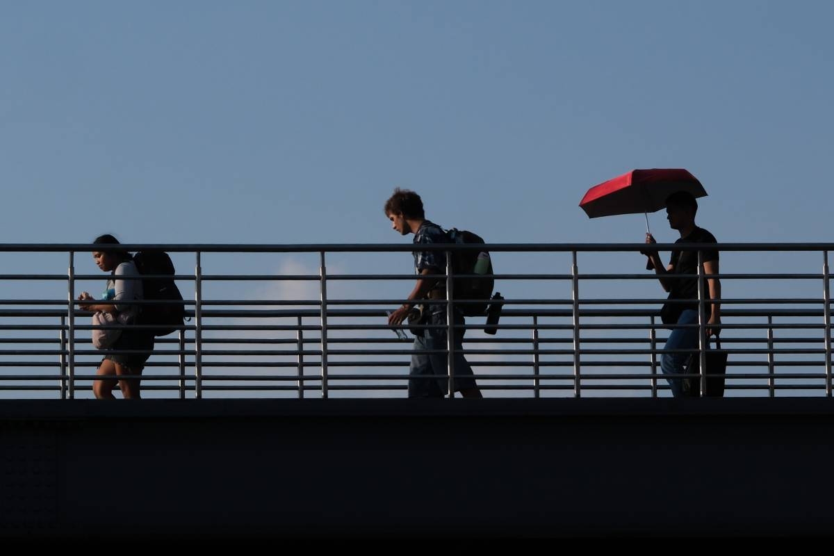
Despite the widespread rain threat, no new weather-related casualties, evacuations, or maritime cancellations had been independently confirmed in MIMAROPA at the time of reporting. Metro Manila and the rest of the country experienced partly cloudy to cloudy skies punctuated by localized thunderstorms, carrying persistent risks of localized flash floods.
Worth a look

Blood Pressure Medication Can Help Lower Dementia Risk
Controlling Hypertension to Protect Against Vascular Dementia A common class of blood pressure medication could significantly lower the...

Family Dog Saves Baby’s Life by Detecting Dangerous Heart Condition
When a family dog began acting unusual and refusing to leave a six-month-old infant alone in Somerset, England,...

Common pesticide linked to 2.5 times the risk of Parkinson’s disease – Science Daily
People with long-term residential exposure to chlorpyrifos face more than 2.5 times the risk of developing Parkinson’s disease...

PAL adjusts nearly 200 flights for ASEAN Summit in Manila – PortCalls Asia
As Metro Manila prepares to host global leaders for the 49th Association of Southeast Asian Nations (ASEAN) Summit,...