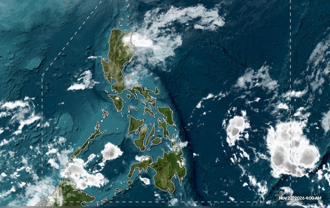
PAGASA forecasts scattered rains and isolated thunderstorms over Northern and Central Luzon on Sunday, Nov. 22, driven by a shear line. Meanwhile, the Intertropical Convergence Zone in Mindanao brings similar weather, prompting alerts for flash floods and landslides across vulnerable areas.
The convergence of four distinct weather systems—the shear line, northeast monsoon, easterlies, and ITCZ—is set to drench parts of the Philippines on Sunday, as reported by the Philippine Atmospheric, Geophysical and Astronomical Services Administration (PAGASA) through GMA Network.
This isn’t just about cloudy skies; it dictates immediate risk for communities, particularly in mainland Cagayan, Isabela, Nueva Vizcaya, Quirino, and Aurora, where moderate to heavy rains could trigger flash floods or landslides, GMA Network reported.
Luzon Shear Line Impacts
The shear line specifically affects the eastern sections of Northern and Central Luzon, bringing cloudy skies with scattered rains and isolated thunderstorms to those areas, Inquirer reported.
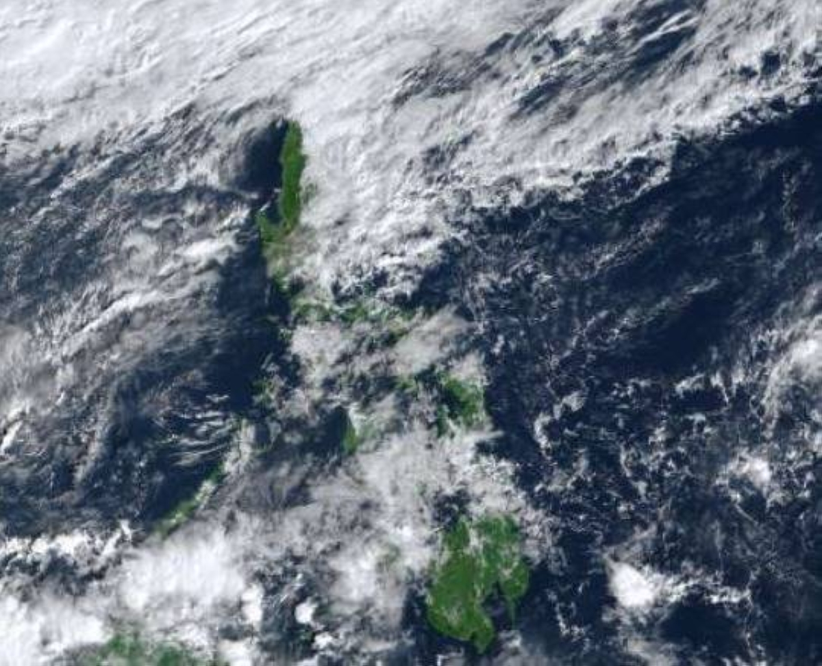
The northeast monsoon, known locally as amihan, will cover the rest of Cagayan Valley and the Cordillera Administrative Region, bringing cloudy skies with rains, which Inquirer noted also carries a potential for flash floods or landslides.
Mindanao ITCZ Brings Thunderstorms
Over Mindanao, the Intertropical Convergence Zone (ITCZ) brings cloudy skies with scattered rains and thunderstorms across Caraga, the Davao Region, and Southern Leyte, GMA Network stated.
The Mindanao Sentinel confirms that residents across the entire island are advised to stay alert because of the prevailing ITCZ, with potential for flash floods and landslides, as PAGASA warned earlier on November 20.
Metro Manila Weather Holds Steady
“When rainfall reaches 50 to 100 millimeters, localized flooding is possible in urbanized, low-lying areas and those near rivers, as well as landslides in highly susceptible areas,” said Veronica Torres-Bagalanon, PAGASA weather specialist, in Filipino and English, The Manila Times.
This rainfall threshold, reaching 50 to 100 millimeters in Cagayan, Isabela, and Aurora over the weekend due to the shear line, The Manila Times forecast, translates directly to immediate risk for low-lying urban zones.
CALABARZON Experiences Targeted Rain
Quezon province faces cloudy skies with scattered rains and isolated thunderstorms due to the easterlies, Daily Tribune reported.

The Daily Tribune specified that Quezon was the only province in CALABARZON expected to see widespread cloud cover and scattered rainfall, while Laguna and Rizal anticipate mostly cloudy skies with isolated rainshowers or thunderstorms during the day.
The Devil’s Advocate perspective suggests that while the shear line concentrates heavy rain in Northern Luzon, the easterlies influence Quezon and Metro Manila, meaning localized, high-impact events are more probable than widespread, uniform heavy deluge across the entire country.
For maritime operators, PAGASA forecasts light to moderate winds from the east to northeast across Mindanao, The Mindanao Sentinel detailed.

Low-Dose Aspirin Use Shows Reduced Odds of Metastatic Colorectal Cancer in Sweden
Low-dose aspirin use shows reduced odds of metastatic colorectal cancer in 2026. This finding comes from a population-based...

Guevarra Surrendered to NBI in Plunder Case With Conditional Immunity
Felicito Guevarra surrendered November 19, 2026, to authorities. Plunder Case Co-Accused Yields The National Bureau of Investigation confirmed...

Chahal Joins BJP, Gets Special Invitee Role in OBC Morcha Committee
Yuzvendra Chahal joins BJP on Saturday, securing a special invitee role in the OBC Morcha committee. This move...

Virginia Child Dies of Measles, First Since 1978
Virginia hasn't recorded a measles death in 48 years. That streak ended Friday when the state health department...