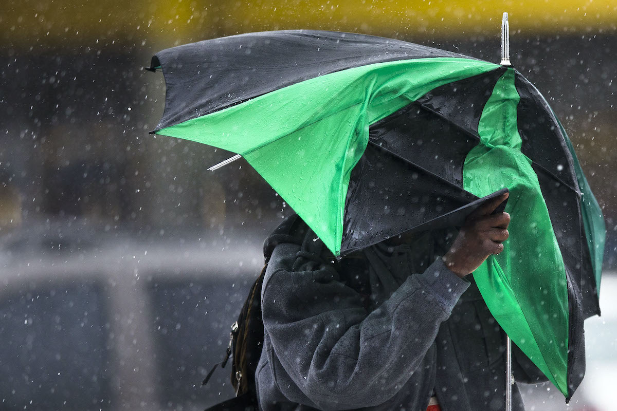
A nor’easter moving through the region this week will bring rain and chilly temperatures to the Philadelphia area, though the storm lacks the intensity to deliver significant snow to the city.
While high-elevation communities in New England, New York, and Pennsylvania may see wintry conditions, the Philadelphia region is bracing for a wet and windy end to the work week.
The system is expected to produce downpours throughout Thursday and Friday, WHYY reported. Residents should anticipate temperatures hovering near freezing during the nights of Friday and Saturday. While some northern areas might see a light coating of snow, the storm’s impact on the immediate Philadelphia area remains focused on rainfall and gusty winds.
“It’s certainly not going to be as organized and as powerful as some of the last nor’easters we’ve seen,” said Mike Lee, a meteorologist with the National Weather Service in Mt. Holly, New Jersey, in an interview with WHYY. Lee said that the Poconos could receive “a couple of snowflakes,” but for the majority of the region, the precipitation will stay in liquid form.
The accumulation of rain will vary by location, according to the National Weather Service data provided to WHYY. Bucks County is projected to receive up to an inch of rain, while Philadelphia is expected to see between a half and three-quarters of an inch. These totals reflect a moderate weather event rather than a severe deluge, though the accompanying wind will likely make the cold feel more pronounced.

Wind gusts are forecasted to reach up to 25 miles per hour on Friday, increasing to 30 miles per hour on Saturday in the Philadelphia area, WHYY reported. These conditions will coincide with a sharp drop in temperatures. Some areas could see mercury levels dip into the high 20s on Friday evening, while the city of Philadelphia will likely remain in the mid-30s.
This weather pattern arrives as part of a series of late-autumn systems that typically influence the Mid-Atlantic climate. The National Weather Service’s office in Mt. Holly, New Jersey, continues to monitor the storm’s trajectory to ensure accurate guidance for the region. For those tracking broader environmental trends, the Environmental Protection Agency provides ongoing data regarding how shifting regional weather patterns correlate with long-term climate changes.
The contrast between the forecast for the Poconos and the urban core highlights the classic “rain-snow line” dynamics often seen in Philadelphia-area nor’easters.
While the city avoids the heavy accumulation that can paralyze transit and cause power outages, the combination of mid-30s temperatures and 30-mile-per-hour gusts creates a raw, uncomfortable environment for outdoor activity. Local infrastructure—particularly in low-lying areas—may see minor drainage issues from the anticipated three-quarters of an inch of rain.
The upcoming weekend will serve as a transition period as the storm exits the coast. By Saturday night, the region will face the coldest sustained temperatures of the week, necessitating preparations for those with sensitive outdoor assets or exposed pipes. Current models indicate that the system will move through relatively quickly, clearing the path for a change in air mass by early next week.

Wisconsin Counties With the Highest Percentage of Veterans
Wisconsin’s veteran population is shrinking as the state’s total number of former service members has dropped by nearly...
RP&L Plans Brighter Richmond Future – Western Wayne News
Richmond Power & Light plans to begin converting streetlights to LED technology next year to mark its 125th...
Utah Settlement Mandates Methane Reporting to Protect Ratepayers
The Utah Public Service Commission approved a settlement on Tuesday requiring Enbridge Gas and Wexpro to report methane...

Scout Motors Has 212000 Vehicle Reservations as $2 Billion South Carolina Plant Nears Completion
Scout Motors has secured approximately 212,000 reservations for its upcoming electric vehicle lineup as the startup nears the...