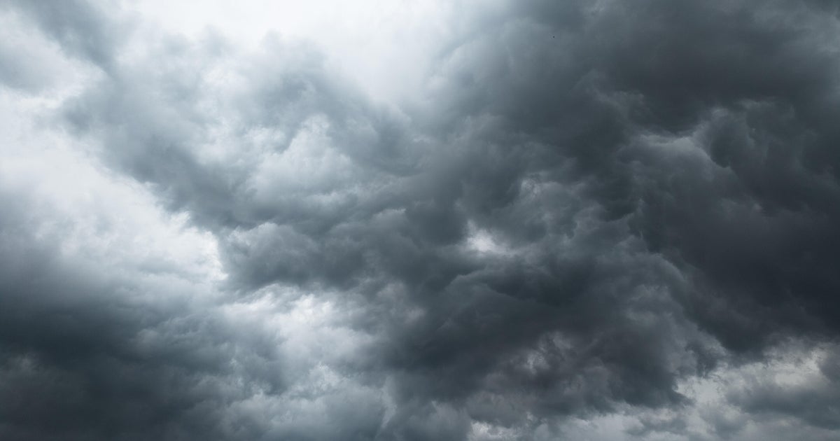
Eastern Minnesota and western Wisconsin are under a conditional severe weather alert from 2 p.m. to 9 p.m. While the ingredients for severe storms are present, meteorologists are monitoring whether the cells can “catch fire” and tap into the available energy to produce high-end damage, CBS News reported.
Severe threats and “conditional” triggers
The current alert is categorized as conditional because the atmospheric setup is volatile but not guaranteed. If they do, the potential for high-end damage is significant enough that officials felt an alert was necessary despite the uncertainty.
The immediate threats include damaging straight-line winds and hail. More critically, the environment could support one or two strong tornadoes.
Highs today will hover near 70 degrees, accompanied by a few hours of mugginess.
Showers with embedded t-storms will develop over western MN early this afternoon and progress east over eastern MN into western WI through this evening. Some storms may be strong to severe, with potential for large hail, damaging winds and a few tornadoes. #mnwx #wiwx pic.twitter.com/QefpUdaJU1
A mild transition toward Halloween
Once the Wednesday evening threat passes, the region will see a sharp shift in weather patterns. Thursday is expected to be sunny and beautiful, with temperatures cooling to highs in the upper 50s. Friday will remain mild, though skies will be cloudier.
Looking ahead to the weekend, the forecast for Halloween Saturday remains uncertain regarding precipitation. While drizzle or showers are possible, the current trend leans toward a drier day. Highs will stay in the low 60s, with evening temperatures sliding into the upper 50s—mild conditions for the holiday.
Sunday is projected to be quiet, gray, and mild. Residents should also set their clocks back for the end of Daylight Saving Time.
Rain returns for Election Day
The period of relative calm ends early next week. Rain is forecasted to return for the first half of the week, which includes Election Day. Highs during this period are expected to remain in the 50s.
11:22am CDT #SPC Day1 Outlook Slight Risk: across parts of eastern Minnesota into northwest Wisconsin https://t.co/TgJgC6cj9Y pic.twitter.com/zAD5Y8Ue5r
More on Eastern Minnesota
Related reading
Craig Fuller documents wildlife in Grand Teton and Yellowstone
Craig Fuller documented a wildlife tour through Jackson Hole, Grand Teton National Park, and Yellowstone National Park, reporting...

Extinction Stories: Immersive Dioramas at Milwaukee Public Museum
The emerald ash borer threatens the survival of 7.5 billion ash trees across North America, a figure that...

Cincinnati Volleyball Previews Matches Against Colorado and West Virginia
The Cincinnati volleyball team is traveling to Boulder, Colorado, to play Colorado on Thursday at 9 p.m. ET...

Washington State Suspends Pre-Election Campaign Contribution Limits
Washington state's campaign finance regulators are effectively pausing the rules on how much money can flow into political...